Gallery:Chesham

From Roader's Digest: The SABRE Wiki
Jump to navigation Jump to search


This gallery has no child categories
Chesham
 
 
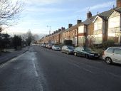
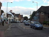
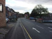
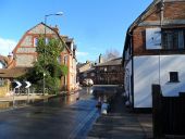
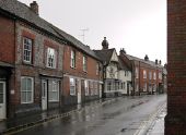
Church Street, Chesham, in the rain - Geograph - 3382536.jpg
Church Street, Chesham, in the rain
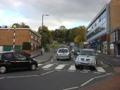
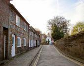
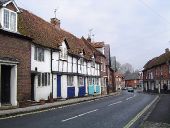
Church Street, Chesham - Geograph - 111011.jpg
Church Street, Chesham
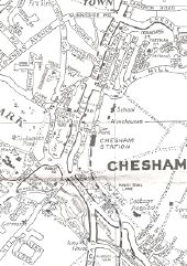
Chesham one-way system.jpg
One-way system in central Chesham from 1970s Barnett's Chesham & Amersham Street Plan

This page includes a scan of a non-free copyrighted map, and the copyright for it is most likely held by the company or person that produced the map. It is believed that the use of a limited number of web-resolution scans qualifies as fair use under United States copyright law, where this web page is hosted, as such display does not significantly impede the right of the copyright holder to sell the copyrighted material, is not being used to generate profit in this context, and presents information that cannot be exhibited otherwise.
If the copyright holder considers this is an infringement of their rights, please contact the Site Management Team to discuss further steps.
Berkhamstead Road, Chesham - Geograph - 2216574.jpg
Berkhamstead Road, Chesham
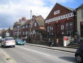
Chesham- The Salvation Army Hall, Broad... (C) Nigel Cox - Geograph - 131890.jpg
Chesham- The Salvation Army Hall, Broad... (C) Nigel Cox
Viewed looking northwards up Broad Street, with Chesham Police Station just visible at the left.
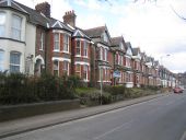
Broad Street, Chesham (C) Malc McDonald - Geograph - 2445132.jpg
Broad Street, Chesham (C) Malc McDonald
A terrace of houses on Broad Street in Chesham, Buckinghamshire.
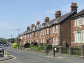
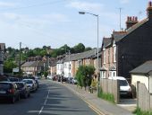
Chesham- Bellingdon Road (C) Nigel Cox - Geograph - 131827.jpg
Chesham- Bellingdon Road (C) Nigel Cox
Victorian housing on the west side of Bellingdon Road, viewed looking northwards. One of the houses at this end of the terrace has a plaque with the date 1891.
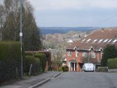
The top of Eskdale Avenue, Chesham (C) Bikeboy - Geograph - 3434152.jpg
The top of Eskdale Avenue, Chesham (C) Bikeboy
You get a good view of the Chltern to the north and west from here.
Bellingdon Road, Chesham (C) Malc McDonald - Geograph - 2445146.jpg
Bellingdon Road, Chesham (C) Malc McDonald
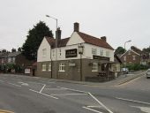
The Jolly Sportsman, Chesham (C) Ian S - Geograph - 3002656.jpg
The Jolly Sportsman, Chesham (C) Ian S
A 416 Red Lion Street - Geograph - 1013950.jpg
A416 Red Lion Street, Chesham
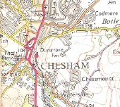
Chesham74.jpg
Early 1970s OS map of Chesham.

This page includes a scan of a non-free copyrighted map, and the copyright for it is most likely held by the company or person that produced the map. It is believed that the use of a limited number of web-resolution scans qualifies as fair use under United States copyright law, where this web page is hosted, as such display does not significantly impede the right of the copyright holder to sell the copyrighted material, is not being used to generate profit in this context, and presents information that cannot be exhibited otherwise.
If the copyright holder considers this is an infringement of their rights, please contact the Site Management Team to discuss further steps.
East Street (C) Oxyman - Geograph - 1014476.jpg
East Street (C) Oxyman
White Hill (C) Oxyman - Geograph - 1014560.jpg
White Hill (C) Oxyman
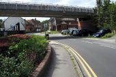
Underground bridge over Waterside (C) Philip Jeffrey - Geograph - 3611880.jpg
Underground bridge over Waterside (C) Philip Jeffrey
Fuller's Hill - Geograph - 1056814.jpg
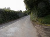
Fuller's Hill Fuller's Hill heading up to Fullers Hill Farm
Entering Chesham - Geograph - 3002651.jpg
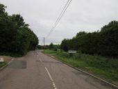
Entering Chesham
Vale Road, Chesham - Geograph - 4484694.jpg
Vale Road, Chesham
Chartridge Lane, Chesham - Geograph - 1081259.jpg
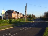
Chartridge Lane, Chesham With modern housing at Groves Way on the left.
Townsend Road, Chesham - Geograph - 2445140.jpg
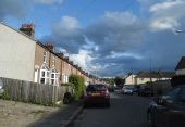
Townsend Road, Chesham
Flooding near the Queen's Head pub, Chesham - Geograph - 3893281.jpg
Flooding near the Queen's Head pub, Chesham Not sure if this was caused by the recent heavy rainfall or a burst water main.
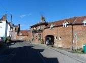
The Queen's Head pub, Chesham - Geograph - 3893279.jpg
The Queen's Head pub, Chesham Now a Thai restaurant
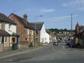
King Street, Chesham - Geograph - 2879250.jpg
King Street, Chesham Seen from the Amy Lane end. Mostly flint-built cottages, of various dates. Results of some preliminary research into the origins of my mother's family suggest that 180 years ago ancestors of ours lived nearby in Amy Lane - where almost nothing remains of the townscape they would have known. Their name was Rance.
Chesham High Street - Geograph - 1014541.jpg
Chesham High Street
Germain Street, Chesham - Geograph - 3769930.jpg
Germain Street, Chesham Germain Street seen from the junction with King Street.
 

SABRE - The Society for All British and Irish Road Enthusiasts
Discuss - Digest - Discover - Help