Gallery:Clyde Valley Tourist Route

From Roader's Digest: The SABRE Wiki
Jump to navigation Jump to search
Scottish Tourist Routes > Clyde Valley Tourist Route


This gallery has no child categories
Clyde Valley Tourist Route
 
 
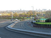
Roundabout on A723 on the outskirts of Hamilton - Geograph - 1065366.jpg
Roundabout on A723 on the outskirts of Hamilton
A702 (old A74) Crawford - Coppermine - 18512.JPG
A702 (old A74) Crawford

The old A74 is the A702 between here & Abington

Originally uploaded to Coppermine on Jun 16, 2008 by leopard680
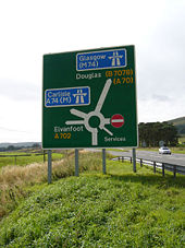
A702, M74 and A74(M) Road sign.jpg
A702 / M74 and A74(M) Road sign
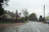
Heading in to Crawford from the south - Geograph - 3677340.jpg
Heading in to Crawford from the south On the Carlisle Road.
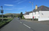
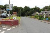
Crawford Village - Geograph - 3761609.jpg
Crawford Village
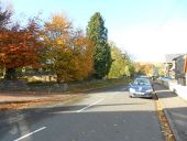
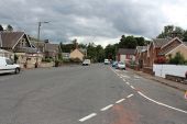
Carlisle Road, Crawford - Geograph - 1524906.jpg
Carlisle Road, Crawford Once the main road to England from Glasgow, there is still some remaining traveller's infrastructure.
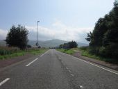
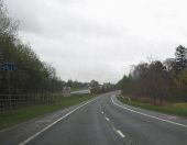
The A702 south of Crawford - Geograph - 3630208.jpg
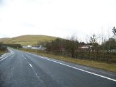
The A702 south of Crawford
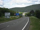
Junction 14, A74(M) - Geograph - 1032469.jpg
Junction 14, A74(M) Looking over the junction of the A74(M) to the heavily forested Wellshot Hill.
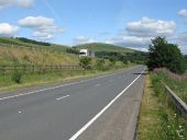
Road to Abington near White Hill - Geograph - 4113604.jpg
Road to Abington near White Hill The lorry on the left is on the M74.
A702 and M74 - Geograph - 4089208.jpg
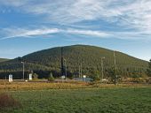
A702 and M74 Both roads more or less follow the line of the old A74 at this point just south of Abington. The hill with the mast in the background is Craighead Hill.
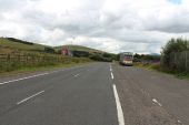
The Road to Crawford near White Hill - Geograph - 4113610.jpg
The Road to Crawford near White Hill The red lorry is on the A74(M).
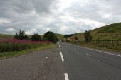
The A702 near Boghead - Geograph - 3629816.jpg
The A702 near Boghead
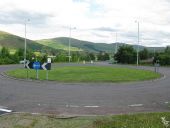
Roundabout west of Crawford - Geograph - 4089241.jpg
Roundabout west of Crawford The junction is at the intersection of the A702, a slip-road from the M74 and a local road into Crawford.
A702 north through Abington - Geograph - 2949966.jpg
A702 north through Abington
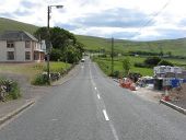
Carlisle Road, Abington - Geograph - 4113539.jpg
Carlisle Road, Abington
Edinburgh Road, Abington - Geograph - 4113545.jpg
Edinburgh Road, Abington This is where the Edinburgh and Glasgow traffic once split in Abington.
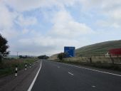
A702 passing Bottomess wood - Geograph - 2949948.jpg
A702 passing Bottomess wood Looking north. Sign on M74 for Junction 13 just visible on motorway
A702 and M 74 South of Abington - Geograph - 2852472.jpg
A702 and M 74 South of Abington
Upper Clyde Valley - Geograph - 1135148.jpg
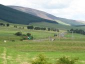
Upper Clyde Valley View along the Upper Clyde Valley from the Abington Service Area.

The roundabout in the middle distance is where the roads to Lanark and Biggar diverge. In the not too distant past there was no roundabout, just a fork in the road.

The prominent hill in the distance is Tinto with its very large cairn at the summit just discernable.
 

SABRE - The Society for All British and Irish Road Enthusiasts
Discuss - Digest - Discover - Help