Gallery:Coleraine
From Roader's Digest: The SABRE Wiki
Jump to navigation
Jump to search
This gallery has no child categories
Coleraine
Coleraine ring road
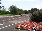
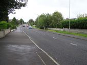
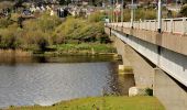
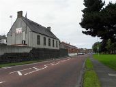
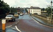
The Coleraine ring road takes most through traffic away from the town centre. The section from the Lodge Road to the Strand Road crosses the River Bann by a box-girder bridge called the Sandelford Bridge. This is the view across the bridge to the Strand Road.
The Coleraine ring road takes most through traffic away from the town centre. The section from the Lodge Road to the Strand Road crosses the River Bann by a box-girder bridge called the Sandelford Bridge. This is the view across the bridge to the Strand Road.
Road at Boghill
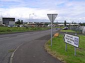
It is to the north-east of Coleraine. There are several industrial buildings located here.
It is to the north-east of Coleraine. There are several industrial buildings located here.
Bushmills Road, Coleraine
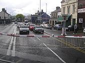
Looking south-west from the train on the level crossing, further on is the Railway Road
Looking south-west from the train on the level crossing, further on is the Railway Road
The Sandelford Bridge, Coleraine
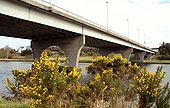
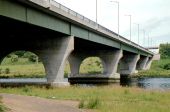
See <a href='http://www.geograph.org.uk/photo/190450'>C8431 : Coleraine ring road</a>. The Sandelford Bridge carries the ring road across the Bann. It was the vantage point for <a href='http://www.geograph.org.uk/photo/728957'>C8431 : The River Bann, Coleraine</a>. The river is flowing from right to left.
See <a href='http://www.geograph.org.uk/photo/190450'>C8431 : Coleraine ring road</a>. The Sandelford Bridge carries the ring road across the Bann. It was the vantage point for <a href='http://www.geograph.org.uk/photo/728957'>C8431 : The River Bann, Coleraine</a>. The river is flowing from right to left.
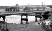
The Sandelford Bridge, Coleraine (1980)
The Sandelford Bridge, Coleraine (2)
The Sandelford Bridge, Coleraine (3)
Flyover, Coleraine
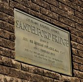
Sandelford Bridge plaque, Coleraine
Road Junction, Coleraine
National Cycle Network milepost,... (C) Albert Bridge <<a href='http://www.geograph.org.uk/photo/594558'>C8432 : The Town Bridge, Coleraine</a>.
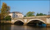
The Town Bridge, Coleraine The Town Bridge looking downstream towards the Waterside. Note the flock of pigeons at top left above the Clothworkers Building.
Hidden category:

