Gallery:Cork City Inner Orbital Route

From Roader's Digest: The SABRE Wiki
Jump to navigation Jump to search
Ring Roads > Cork City Inner Orbital Route


This gallery has no child categories
Cork City Inner Orbital Route
 
 
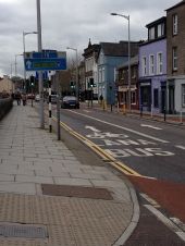
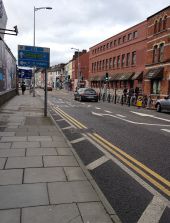
CorkInnerRingRoadJ5.JPG
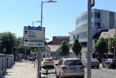
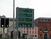
Cork inner ring road, junction 5 sign on the R610 Anglesea Street.
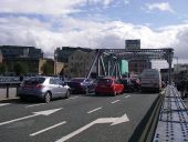
ChristyRingBridge.JPG
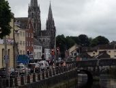
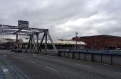
Christy Ring Bridge, Cork city. This is near the southern end of the N20, crossing the north channel of the River Lee. Across the bridge and to the left is the end of the N20 with the junction of the N8 and N22.
GriffithBridge.JPG
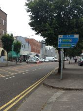
Sign for Cork Inner Ring Road on Griffith Bridge, looking like it needs a bit of a clean!
CorkInnerRingRoadjunction20.JPG
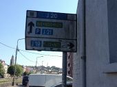
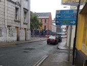
Cork inner ring road junction 20 sign. Notice that the sign has a white background. This means that you are approaching a junction on the Inner Orbital Route, but are not currently on it
CorkInnerRingRoadsignJ19.JPG
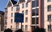
Cork inner ring road sign for junction 19. The blue background means that you are currently on the inner orbital route.
IMG 3801.JPG
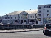
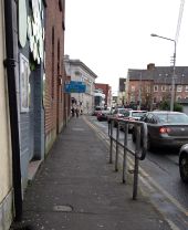
Bachelors Quay in Cork City. Part of the Cork inner ring road system. There is a sign on the left hand side for this in its usual style which indicates junction 21. The bridge ahead is called Griffith Bridge, and if you cross that you head onto Shandon Street. Across the river on the left hand side is the R846 North Mall.
Cork Inner Ring Road J4.jpg
This is junction 4 of the Cork Inner Ring Road. The N27 continues around to the left, straight ahead is towards Anglesea Street and the right is back towards the city centre.
Cork Inner Ring Road J8.jpg
Coming up to junction 8 on the route on Copley Street.
Cork Inner Ring Road J9.jpg
Parliament Bridge in Cork city centre. This side of the bridge also marks junction 9 on the inner orbital route.
Cork Inner Ring Road J10.jpg
Junction 10 of the Cork city inner orbital route. In the background is St Finbarr's Cathedral.
Cork City Bus Lane.jpg
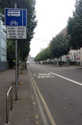
The start of a typical Irish Bus Lane (Lána Bus) in Irish. All bus lanes are marked and signed like this. Notice how the sign is very similar to what you would see in the UK, except for the design of the bus itself.
To N8 and N25 - Flickr - 2429924446.jpg
The N8 in the centre of Cork
Cork.JPG
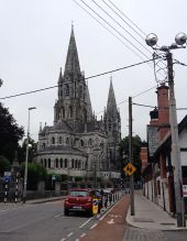
This is Proby's Quay with the impressive St Fin Barre's Cathedral in the background. The road is one way at this point, with a contraflow cycle lane
IrishSigns.JPG
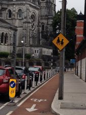
Some typical signage in Cork, Ireland. Ireland has an unusual mix of US/Australian style diamond shaped signs and UK signage.
CorkJ11.JPG
Approaching junction 11 of the inner orbital in Cork. Some would say that the traffic lights at this junction are unnecessary as the traffic levels are low and the R608 around to the right continues to be one way.
CorkJ12.JPG
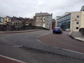
Junction 12 is a right hand bend, although the inner orbital route continues around to the left.
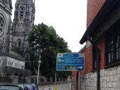
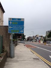
CorkJ16.JPG
Approaching junction 16 and the entrance to University College Cork (UCC).
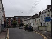
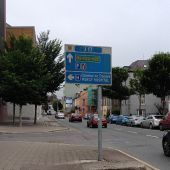
CorkJ17.JPG
Approaching junction 17
CorkJ19-One.JPG
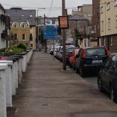
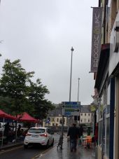
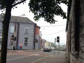
Approaching the signal controlled junction at junction 19 on Grattan Street
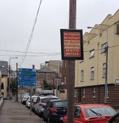
CorkJ19-Two.JPG
Notice in the foreground one of the common anti-water charge posters seen around Ireland!
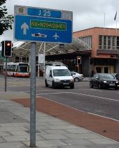
CorkJ25.JPG
Junction 25 opposite Parnell Place bus station, with traffic coming from the R610.
CorkMerchantsQuay.JPG
The N8 Merchants Quay in Cork
CorkUCC.JPG
The UCC end of the one-way system on the N22 in Cork
CorkUCCEntrance.JPG
The entrance to UCC on the N22 in Cork. This is also at junction 16 of the inner orbital route. Notice the combined pedestrian/cycle crossing
IMG 4123.JPG
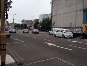
The N27 in Cork city
CorkJ2.JPG
The N27 in Cork, approaching junction 2 of the Inner Orbital route
CorkJ3.JPG
Continuing on the N27
CorkJ6.JPG
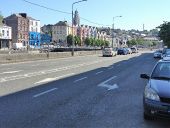
The R610 on the outskirts of Cork city centre
CorkJ7.JPG
South Terrace in Cork city
CorkJ14.JPG
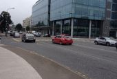
Cork city centre on the N22
CorkJ22.JPG
Cork city on Cornmarket Street approaching the R847
IMG 4127.JPG
N27 crossing Albert Quay
IMG 4137.JPG
South Mall bus lane in Cork city
IMG 4138.JPG
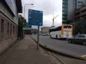
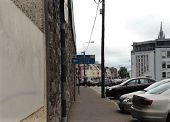
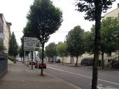
Advanced direction sign in Cork. The sign appears to be in an older style
IMG 4141.JPG
The R610 in Cork city
CorkCityJ15.JPG
Cork city heading out on the N22, near UCC.
CorkCityJ18.JPG
Near Cork City centre on the N22
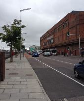
CorkCityJ26.JPG
Cork City by Parnell Place bus station
CorkCityJ26pic2.JPG
Cork city near the bus station and near the end of the N8
IMG 4334.JPG
Brian Boru bridge in Cork
CorkCityJ13.JPG
Cork City on the N22.
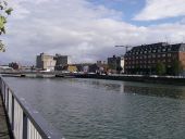
20180824-1507 - Brian Boru Bridge - N8 Cork City Inner Orbital Route 51.900524N 8.465581W.jpg
Brian Boru Bridge - N8 Cork City Inner Orbital Route view south
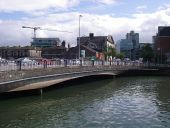
20180824-1508 - Michael Collins Bridge from Penrose Quay 51.900321N 8.464415W.jpg
Michael Collins Bridge from Penrose Quay
20180824-1509 - Michael Collins Bridge from Penrose Quay 51.900209N 8.463782W.jpg
Michael Collins Bridge from Penrose Quay
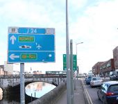
Cork Orbital J24.jpg
The sign for J24 of the Cork Orbital Route, on Lavitt's Quay. Little advice is given for traffic needing the N25.
Cork Orbital J23.jpg
The sign for J23 of the Cork Orbital Route, on Christy Ring Bridge.
Cork City old flag sign.jpg
An old flag sign by Christy Ring Bridge.
 

SABRE - The Society for All British and Irish Road Enthusiasts
Discuss - Digest - Discover - Help