Gallery:County Down
From Roader's Digest: The SABRE Wiki
Jump to navigation
Jump to search
Photos by Traditional County - Ireland > County Down
This gallery has no child categories
County Down
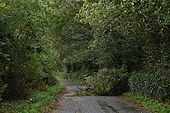
THE OLD (OLD) ROAD FROM BELFAST TO DUBLIN
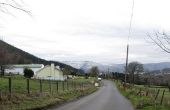
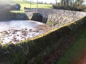
This is the old Belfast � Dublin road of 200 years ago. It was part of the Banbridge & Newry turnpike. The journey by stagecoach took 12 hours. Contemporary reports suggest that there were no breathalysers and that the drivers frequently took more than a sip or two. The tree was victim of Hurricane Gordon. 27 September 2006 � view to Newry/Dublin about a mile north of Loughbrickland.
Originally uploaded to Coppermine on Feb 02, 2007 by Wee HughieOpposing Limits
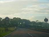
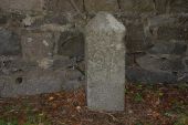
Those kids, eh? Formerly on the A2 leaving Millisle, County Down. Has since been fixed.
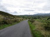
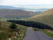
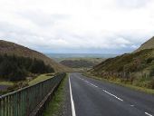
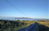
Originally uploaded to Coppermine on Jul 30, 2006 by exploThe Slievenaboley Road commencing its descent southwards towards Ballyward The High Mournes can be seen in the background.
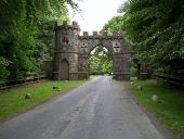
The Barbican Gate of Tollymore Forest Park This archway, the former grand entrance to the now demolished Tollymore House, is now the main vehicle access to Tollymore Forest Park. A lodge was located to the left of the gate.
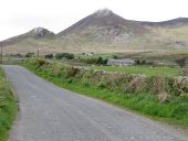
Farmland southwest of the A50 The Mourne peaks of Slieve Donard and Slieve Commedagh dominate the background.
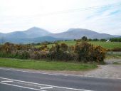
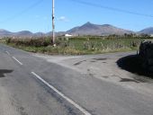
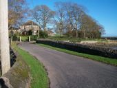
Approaching the northern end of Brackenagh Road West Slieve Binnian and Wee Binnian form the background.
