Gallery:D1

From Roader's Digest: The SABRE Wiki
Jump to navigation Jump to search


This gallery has no child categories
D1
 
 
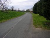
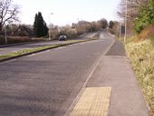
A390 Probus bypass at B3275 junction.jpg
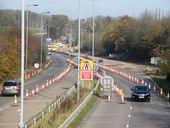
A390 Probus bypass at its junction with the B3275.
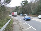
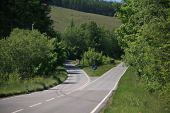
A3 Hindhead - Coppermine - 23692.jpg
A3 Hindhead

Short D1 hairpin bend just to the north of Hindhead which will be closed when the tunnel opens

Originally uploaded to Coppermine on Dec 13, 2009 by Truvelo
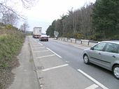
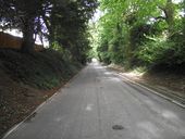
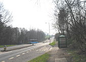
Old dualling - Coppermine - 21960.jpg
Old dualling

A former and, rather narrow old D2 at the Punchbowl itself, looking east.

Originally uploaded to Coppermine on Apr 17, 2009 by SteveA30
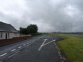
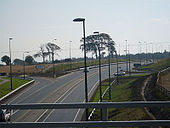
End of Dual Carriageway - Coppermine - 21959.jpg
End of Dual Carriageway

The east end of the short dualled bit.

Originally uploaded to Coppermine on Apr 17, 2009 by SteveA30
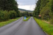
A77 - Coppermine - 13998.jpg
A77

This is the cycle lane alongside the A77 alongside the new M77. There can be no doubt about what this used to be! :)

Originally uploaded to Coppermine on Jul 17, 2007 by scynthius726
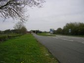
N11 end of Arklow bypass - Coppermine - 9184.jpg
N11 end of Arklow bypass

This is also the last dual carriageway section currently open on the N11 as you head south. The N11 Arklow/Gorey link construction site is visible to the left. This 23 km scheme will extend the dual carriageway past Gorey to south of Clogh. Map available at http://www.nra.ie/RoadSchemeActivity/SchemeMaps/file,1869,en.pdf

Originally uploaded to Coppermine on Nov 17, 2006 by csd
A849 two bridges.jpg
Single track bridges on Mull. The bridge on the left has an arch span beneath whereas the one on the right is straight so I guess the left one is the original. The road had recently been resurfaced when this picture was taken so the markings haven't yet been applied.
B5126 markings.jpeg
A picture of the B5126 access road which runs parallel to the A55 slip road, showing some old faded edge lines and some newer faded edge lines.
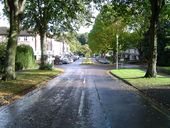
Rickmansworth- Main Avenue, Moor Park - Geograph - 67639.jpg
Rickmansworth- Main Avenue, Moor Park
Viewed looking downhill and eastwards towards the only shops in this exclusive housing estate, Moor Park railway station is beyond the trees at the end of the road.
Old A303 073.jpg
Old A303 at Andover. This was until 1969 the main route out of town heading east it is still known as Micheldever road.
Old roads2 026.jpg
The old route of the A36 looking west towards the Wylye junction and the A303.This part was bypassed around 1987 today the old route serves the village of Steeple Langford.
B5126 A55 spur start dual.jpg
The start of the dual carriageway section of the B5126 near the A55 junction. This direction exists to provide access to a few properties, and because the A55 went this way before the Northop bypass was built.
001.JPG
A46 TRUNK ROAD

DUAL-CARRIAGEWAY UNDER CONSTRUCTION

2010/2011
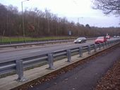
Barnet Way, Mill Hill - Geograph - 2736296.jpg
Barnet Way, Mill Hill
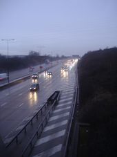
The M25 from Oaklawn Road, Leatherhead - Geograph - 2735276.jpg
The M25 from Oaklawn Road, Leatherhead
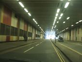
Img 234.jpg
Beech Street Tunnel
A3057 M27 bridge.jpg
Romsey Road, at the M27 overbridge.
A849-d1.jpg
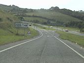
The A849 splits to become D1 at Pennygown Bridge on Mull.
Llandegai Road (A5122) on the eastern outskirts of Bangor - Geograph - 585566.jpg
Llandegai Road (A5) on the eastern outskirts of Bangor
A68 A6124 GSJ - Coppermine - 20152.jpg
A68 A6124 GSJ

A68 Dalkeith bypass. GSJ with A6124 looking SE, 26/09/08

Originally uploaded to Coppermine on Sep 29, 2008 by Hagbard
A57 AIRPORT ROAD NEAR TEMPLEPATRICK - Coppermine - 9980.jpg
A57 AIRPORT ROAD NEAR TEMPLEPATRICK

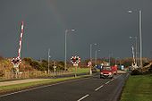
The road from Belfast to the International Airport (then called �Aldergrove') used to take a tortuous route via west Belfast and the Horseshoe Bend. A new road (A57) was built, in the 70�s, connecting the airport with the M2 via Templepatrick. It included a new level crossing over the Belfast-Londonderry railway at Kilmakee to the north west of Templepatrick. There is a short stretch of central reservation to prevent overtaking. Possibly the only new level crossing ever built in NI.

Originally uploaded to Coppermine on Jan 25, 2007 by Wee Hughie
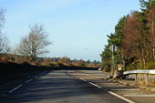
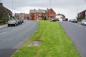
The split between Chorley Old Road and Chorley New Road - Geograph - 2596154.jpg
The split between Chorley Old Road and Chorley New Road
R804 Bridgefoot Street.jpg
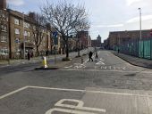
The unusual dual carriageway along Bridgefoot Street, now with an offside cycle lane.
 

SABRE - The Society for All British and Irish Road Enthusiasts
Discuss - Digest - Discover - Help