Gallery:Erskine

From Roader's Digest: The SABRE Wiki
Jump to navigation Jump to search


This gallery has no child categories
Erskine
 
 
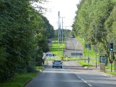
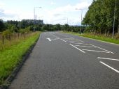
Parkway - Geograph - 5887151.jpg
Parkway Formerly known as Old Greenock Road. The section in the foreground is realigned slightly north of the original line. The distant section is dual carriageway, the lane on the left being the original road.
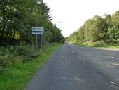
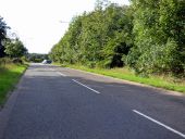
Barrhill Road - Geograph - 5886248.jpg
Barrhill Road Off Old Greenock Road, on the outskirts of Erskine.
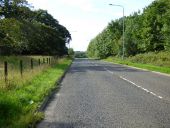
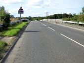
Old Greenock Road - Geograph - 5886247.jpg
Old Greenock Road At Barrhill Road, on the outskirts of Erskine.
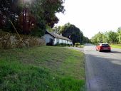
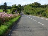
Old Greenock Road - Geograph - 5886245.jpg
Old Greenock Road At North Lodge, on the outskirts of Erskine.
Old Greenock Road - Geograph - 5910981.jpg
Old Greenock Road Looking west at West Craigend.
Old Greenock Road - Geograph - 5910987.jpg
Old Greenock Road Hatch marks at the Linburn Road junction. This is a short realignment of the original route, bypassing a bend which now forms Dargavel Road, out of sight on the left.
Old Greenock Road - Geograph - 5910986.jpg
Old Greenock Road Looking west at West Craigend.
Old Greenock Road - Geograph - 5910988.jpg
Old Greenock Road Hatch marks at the Linburn Road junction. This is a short realignment of the original route, bypassing a bend which now forms Dargavel Road, which can be seen on the left.
Old Greenock Road - Geograph - 5936508.jpg
Old Greenock Road Looking west towards the M898 south bound flyover.
The M898 motorway - Geograph - 5936519.jpg
The M898 motorway At just half a mile long, this is one of the shortest motorways in the country. Viewed looking north from Old Greenock Road.
Old Greenock Road - Geograph - 5936527.jpg
Old Greenock Road Looking west to the double bend east of Bishopton where the once straight road was realigned, when the M8 motorway was built in the mid 1970s.
 

SABRE - The Society for All British and Irish Road Enthusiasts
Discuss - Digest - Discover - Help