Gallery:Exeter Bypass
If the copyright holder considers this is an infringement of their rights, please contact the site management team to discuss further steps.
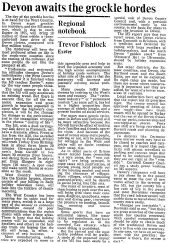
End of an era. The long running saga of the A38/M5 finally comes to an end. The last section of M5, from J30-31 opens on Friday May 27, only just in time for that weekends Bank Holiday. The Exeter bypass becomes part of road history. The other delays last year, were due to the J26-27 section not opening until Oct 76, resulting in Wellington to Tiverton being the last rural bit of A38, -the 'longest lane'- to see heavy summer traffic.
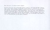
Originally uploaded to Coppermine on Sep 08, 2008 by SteveA30Other parts of the country may have seen major advances in the motorway network over the last 2 years but, in the West Country, it is still business as usual. However, the M5 is marching south and, reached Bristol on Dec 3 1971. Gradually, the locals are waking up to the changes this road will bring in its wake.
Originally uploaded to Coppermine on Aug 26, 2008 by SteveA30


