Gallery:Fareham
From Roader's Digest: The SABRE Wiki
Jump to navigation
Jump to search
Places in South East England > Fareham
This gallery has no child categories
Fareham
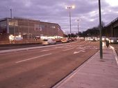
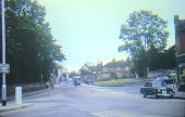
A27
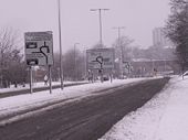
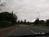
With a green central reservation. This road is now S2.
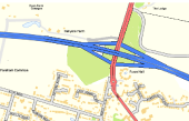
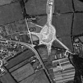
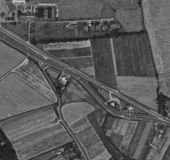
Originally uploaded to Coppermine on Nov 11, 2006 by JohnnyHad a go at redesigning a junction and made M27, J10, and making it a full access junction and getting rid of the huge loop.
This page includes a scan of a non-free copyrighted map, and the copyright for it is most likely held by the company or person that produced the map. It is believed that the use of a limited number of web-resolution scans qualifies as fair use under United States copyright law, where this web page is hosted, as such display does not significantly impede the right of the copyright holder to sell the copyrighted material, is not being used to generate profit in this context, and presents information that cannot be exhibited otherwise.
If the copyright holder considers this is an infringement of their rights, please contact the Site Management Team to discuss further steps.
View of A32 at Fareham
Just south of the town centre. The road on the left is the A32 southbound towards Gosport. The road in the middle is the B3385 to Lee on the Solent(Newgate Lane). The road on the right is the A32 northbound towards Fareham.
Just south of the town centre. The road on the left is the A32 southbound towards Gosport. The road in the middle is the B3385 to Lee on the Solent(Newgate Lane). The road on the right is the A32 northbound towards Fareham.
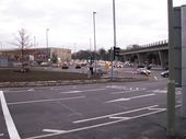
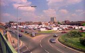
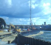
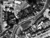
The newly-modified Quay Street Roundabout, built as part of a supermarket development - guess which one?!
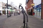
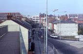
Portland Street, as seen from the Quay Street Roundabout. The buildings to the right were shortly demolished for car parking.
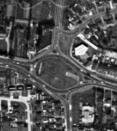
The original layout of the Delme Roundabout, showing the A27.
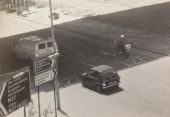
Signs on the Delme Roundabout in 1985: the A27 is shown in primary green, and the M27 link road is shown in motorway blue - with the A32 multiplex highlighted.
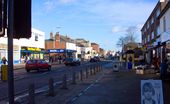
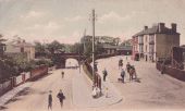
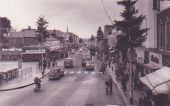
The A32 running through Fareham High Street. The heritage street lamps (since preserved) can be seen with their electric lights, and a pre-Worboys car park sign is visible.
