Gallery:Guided Busway
From Roader's Digest: The SABRE Wiki
Jump to navigation
Jump to search
Road Features > Guided Busway
This gallery has no child categories
Guided Busway
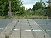
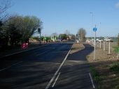
A1309 Milton Road (old A10)
Former level crossing on the Cambridge to St. Ives line, looking east towards the abandoned track-bed. Proposed for conversion to 'guided busway'.
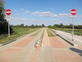
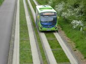
Originally uploaded to Coppermine on Oct 19, 2006 by Sunil_of_YoxleyGuided Busway leaving Fen Drayton Lakes Taken the week before the busway finally opened. It had become habitual to walk and cycle down the busway as it had been completed but unopened for well over a year. The foot and cycle path on the right hasn't yet been surfaced as parts of this section have suffered from flooding (even in dry conditions). Compare with 827415
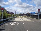
The newly-opened <a href='http://www.cambridgeshire.gov.uk/transport/around/thebusway/' rel='nofollow'>Cambridge Guided Busway</a>, south of Cambridge station. A pair of 'car traps' (ie gravelly pits in the centre of the road) stop narrower vehicles gaining access.
Hidden categories:
