Gallery:Harrow
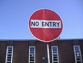
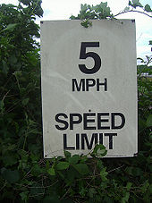
I found this recently at my local library car park and have just finished painting it. Far better now, isn't it.
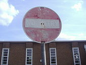
Originally uploaded to Coppermine on May 30, 2009 by DavidNW9My research has only found one other of these since the pair were removed at Pinewood Studios, and although the paint has long worn off the words can be seen in relief. It is at the entry to the library car park in Christchurch Avenue.
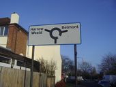
Originally uploaded to Coppermine on May 02, 2009 by DavidNW9This is just like new, situated at the southern part of Belmont Circle, Harrow
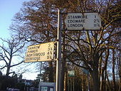
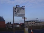
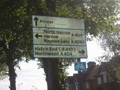
Originally uploaded to Coppermine on Feb 18, 2009 by DavidNW9These are earlier than the usual blue or yellow edged signs, and although written on both sides are not fingerposts. This is at the Clamp Hill junction.
Originally uploaded to Coppermine on Feb 18, 2009 by DavidNW9This is where Edgwarebury Lane becomes privately owned and is clearly made by someone old enough to remember when they looked like this. The sign is made on hardboard by a firm in Enfield displaying an 020 number so made since 2001.
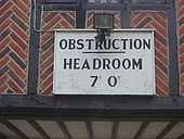
Originally uploaded to Coppermine on May 16, 2009 by DavidNW9There's a matching pair of these on the entrance to the Manor House estate in Stanmore, clearly old but as painted on wood do not conform to any official format. Unfortunately the engineers used the wood to attach the security light instead of going to the trouble to screw it into the masonry above.
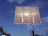
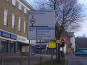
Originally uploaded to Coppermine on May 16, 2009 by DavidNW9My sign logic told me these tend to come in pairs and this was the other side of the junction with no sun damage.
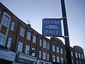
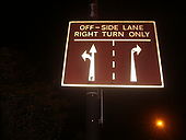
Originally uploaded to Coppermine on May 02, 2009 by DavidNW9I've never seen any normal signs on red before, and this may even be the only one of its kind.
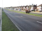
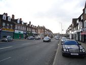
Originally uploaded to Coppermine on May 01, 2009 by DavidNW9This road appears, both on the ground and on the map, as if it ought to be one of the main arterial routes into and out of London with a through dual carriageway and outer parallel access roads to the housing estates on either side. However the dual carriageway is only about 500 metres long, most of which is visible in this image, and it runs in a north-easterly / south-westerly direction at ninety degrees to an arterial route. Was it originally intended as a section of some sort of new ring road beyond the North Circular?
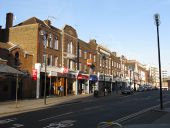
At the junction of Gordon Road, Wealdstone Police Station is to the right.
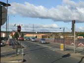
The A409 road has been diverted away from Wealdstone High Street. the road is already at a raised level, crossing the railway (behind the photographer), and continues on another bridge before descending back to ground level.
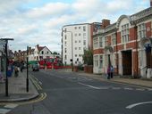
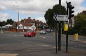
Seen from the junction with Pinner Road, on the right, and George V Avenue on the left. The cars coming straight across the junction are joining the Pinner Road which bends sharply left here.
