Gallery:Heart of Kent Country Tour

From Roader's Digest: The SABRE Wiki
Jump to navigation Jump to search
English Tourist Routes > Heart of Kent Country Tour


This gallery has no child categories
Heart of Kent Country Tour
 
 
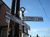
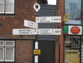
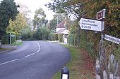
Sign at Wateringbury, Kent - Coppermine - 6346.jpg
Sign at Wateringbury, Kent

There is a new sign, too, which directs Tunbridge Wells traffic further along the A26. But the B2015 is still the more obvious route.

Originally uploaded to Coppermine on Jun 11, 2006 by Simon A6(M)
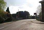
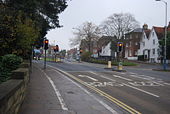
Junction of the B245 & A227 in North Tonbridge - Geograph - 1032362.jpg
Junction of the B245 & A227 in North Tonbridge
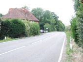
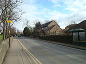
Geograph-3599431-by-Chris-Whippet.jpg
Maidstone Road, Nettlestead Green
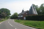
Geograph-1877852-by-Oast-House-Archive.jpg
Manor Oast & Little Manor Oast, Badsell Road, Paddock Wood, Kent
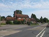
The Morello at Standings Cross, Matfield - Geograph - 1436196.jpg
The Morello at Standings Cross, Matfield
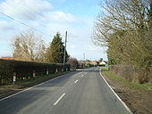
Benover Road - Geograph - 1708068.jpg
Benover Road
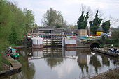
Hampstead Lock by Hampstead Lane Bridge, Yalding - Geograph - 1267460.jpg
Hampstead Lock by Hampstead Lane Bridge, Yalding
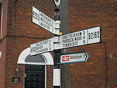
Sign at Yalding, Kent - Coppermine - 6347.jpg
Sign at Yalding, Kent

This street was under several feet of water during the floods of a couple of years ago.

Originally uploaded to Coppermine on Jun 11, 2006 by Simon A6(M)
Road sign, Yalding - Geograph - 1711034.jpg
Road sign, Yalding
B2010 & B 2162 junction, Yalding - Geograph - 1158954.jpg
B2010 & B 2162 junction, Yalding
Hampstead Lane level Crossing by Yalding Station - Geograph - 1267477.jpg
Hampstead Lane level Crossing by Yalding Station
Marden, B2079 (2).JPG
Marden, Kent
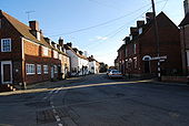
Church Green, Marden - Geograph - 1711024.jpg
Church Green, Marden
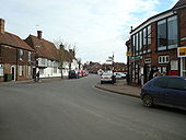
High Street, Marden - Geograph - 1711031.jpg
High Street, Marden
The B2079 Goudhurst Road at Winchet Hill - Geograph - 1517065.jpg
The B2079 Goudhurst Road at Winchet Hill
 

SABRE - The Society for All British and Irish Road Enthusiasts
Discuss - Digest - Discover - Help