Gallery:High Wycombe
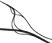
1968 map of the A40(M) High wycombe bypass. The temporary end of the M40, prior to the now Junction 2. Heading London bound this was just after the top of the hill after junction 3. No evidence now remains.
OP Jonathan
Originally uploaded to Coppermine on Apr 14, 2005 by Jonathan B4027
This page includes a scan of a non-free copyrighted map, and the copyright for it is most likely held by the company or person that produced the map. It is believed that the use of a limited number of web-resolution scans qualifies as fair use under United States copyright law, where this web page is hosted, as such display does not significantly impede the right of the copyright holder to sell the copyrighted material, is not being used to generate profit in this context, and presents information that cannot be exhibited otherwise.
If the copyright holder considers this is an infringement of their rights, please contact the Site Management Team to discuss further steps.
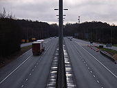
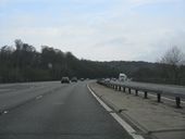
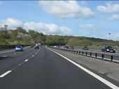
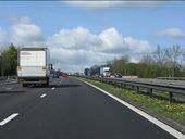
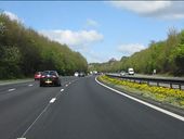
The motorway is now down to three lanes per carriageway (plus emergency lane), following a lane drop at junction 3, despite a steep grade out of the River Wye's valley which might merit a fourth lane.
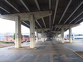
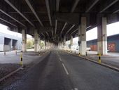
A good spot here. More dramatic than you'd think. The top bunk is the M40. The bottom bunk goes to Homebase.

