Gallery:Huddersfield
From Roader's Digest: The SABRE Wiki
Jump to navigation
Jump to search
Places in Yorkshire and the Humber > Huddersfield
This gallery has no child categories
Huddersfield
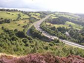
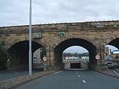
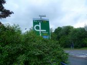
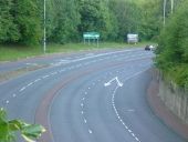
The A629 sweeps up the hillside from Elland to Ainley Top, where it burrows under the M62. The old Huddersfield Road passes under the Elland bypass and then joins it from the left (southbound traffic only). There is no slip road coming down the hill, but there is a footway from the bus layby down to Huddersfield Road. The Bypass road is called Calderdale Way, slightly confusing as this is also the name of a footpath route around the upper Calder valley. The photo is taken from a quarried area known as 'The Rough'.
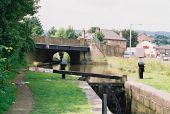
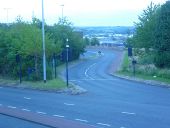
Above Lock No 9E, Huddersfield Narrow... (C) Dr Neil Clifton
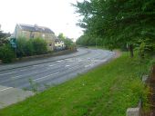
The road bridge carries the B6111. Just to the right of it is the 'Four Horseshoes' (usually there are only three!), while beyond it is a building labelled 'The Post Office'. It isn't a post office, it's another pub! After all, round here they drink more pints than they post letters.
The road bridge carries the B6111. Just to the right of it is the 'Four Horseshoes' (usually there are only three!), while beyond it is a building labelled 'The Post Office'. It isn't a post office, it's another pub! After all, round here they drink more pints than they post letters.
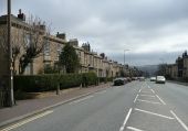
Houses, Trinity Street A640, Marsh,... (C) Humphrey Bolton
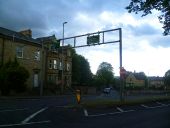
Houses built for the middle-classes in the 19C, a short tram ride from the town centre.
Houses built for the middle-classes in the 19C, a short tram ride from the town centre.
