Gallery:Images by Mixsynth
From Roader's Digest: The SABRE Wiki
Jump to navigation
Jump to search
A47 - East Dereham Bypass - pre-1992 eastern end
This gallery has no child categories
Images by Mixsynth
Prior to 1992, the existing East Dereham bypass dual carriageway used to end just to the east of the town and merge back onto the old road alignment through North Tuddenham. Then the dual carriageway was extended to the east to bypass North Tuddenham to the south.
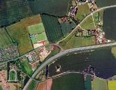
This diversion left a significant length of dual carriageway abandoned, from the Eckling Grange bridge to Etling Green. Today, it's difficult to find any trace on the ground that the road ever went a different way - they've covered it up very well. However, an aerial view clearly shows the old alignment (marked by the lines in the trees and the adjoining buildings):
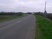
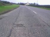
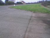
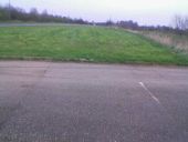
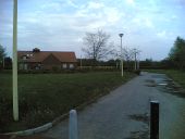
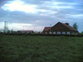
This is the approach from the east, what was the A47 but is now the B1147. About where the house is was where the dual carriageway started. You can see the grass embankment on the left slowly enlarging where the road started to flare.
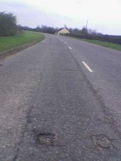
Our first sign of former dualling is, surprisingly after 13 years, still in the remaining road. One can clearly see where the white hatching and the dual catseyes were.
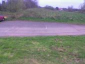
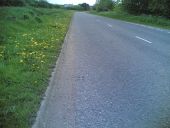
This is looking along the road where the hatchings started to widen, leading up to the central reservation. Amazing how they're still so evident. Notice how the line of the road to the left of them veers off into what is now a grass verge.
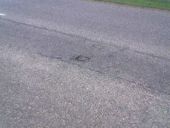
And here's what it's covering up. There are 2 driveways along here that make use of the original tarmac, you can see them in the aerial view - this is the easternmost. There are no white lines preserved but the manufacturing line in the tarmac shows there the centre of the carriageway would have ran. Also...
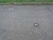
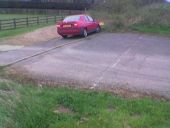
...one of the original catseyes is still in place, marking the original lane division. It still has two reflectors in it, even after 13 years. To the top left of it there is a pair of strange square metal plates that you sometimes find in the middle of carriageways. I'm not sure what they're for.
If you click to maximize this picture and look closely you can see that the square plates are in exactly the same position on the other carriageway. The dual carriageway at this point would just have become full width - two lanes in each direction.
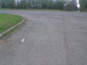
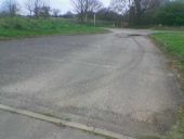
Here is the same section, looking back towards the start. The tarmac line down the centre is where the edge of the road used to be; off to the right is a long driveway (I suppose the tarmac off the edge of the road would have been a short sliproad for it).
Here's the second of the two driveways. This is the best point at which you're still able to visualise the full width of the road. The white lines, both down the centre and at the edge of the road, are clearly visible here.
The original drain and kerb are also visible. By the way, the old banger on the verge wasn't even built when this road was last used!
A view of the road markings from the side. This would have been a gap in the central reservation for residents of this place to turn right.
Looking back towards the house where the dualling started. It's obvious that the carriageways here were separated by quite a way - I imagine there might have been a hedge or something down the middle, like at Swaffham, or a right turn lane for the driveways - maybe someone can enlighten me.
[User Freedomcars later replied: "The wide central reservation on the old line of the road was because there used to be a right turn lane to East Dereham for traffic travelling westbound. You could also turn right across both carriageways to travel west from the old Dereham road. I had friends in one of the properties shown in the pics but cannot remember a right turn lane into these for eastbound traffic. I think there may have been a small one but not sure. Definately no hedge on the reservation, however. Around 1989/90 2 slip roads were built on the westbound carriageway leading onto and off the Eckling Grange bridge and the gap in the central reservation was closed."]
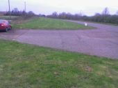
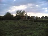
Now, just past the last driveway, the old road veers away and vanishes under the verge completely. Here's a catseye marking the centreline of the old eastbound carriageway. The rest of the road would have marched onward following the trees on the left, through where the sign now stands in the distance. This new B1147 alignment veering off to the north was most likely the left-turn sliproad from the pre-1970's road from East Dereham. This is the last sign of the old road from this angle. The rest lies just beyond the junction ahead...
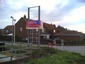
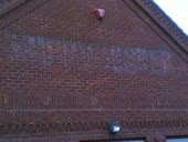
If you turn right on the junction, to follow the 'first generation' road into East Dereham, you come across this oddity almost immediately on the left. An entrance to something marked by a huge sign that no longer displays anything. And no, it's not the local UKIP HQ.
A quick glance to the left and you see this... The first thing that comes into ones head is, "is this what I think it is?"
You can't drive up the entrance road any more, but you can guess what it is. It's a disused restaurant. You can't see it at all from the new A47 alignment...
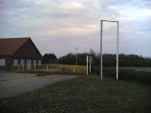
The tall sign clearly had the red+yellow Happy Eater logo on top, with the wide one having "turn left for delicious food!" or some other appetising slogan on it, facing eastbound traffic on... a road that no longer exists. Very strange to see.
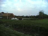
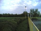
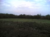
Here's what the signs face onto now. Believe it or not, this patch of grass was the busy dual carriageway A47. The old map indicates it was sunken into a shallow cutting, but there's no cutting now, suggesting they poured in a lot of soil to cover it up. The new alignment is just beyond the far hedge, curving away southwards.
Standing in the middle of what was the westbound carriageway. This is the view a hungry driver would have got looking across the road at the restaurant, wishing they'd turned off...
Again looking back down the former road at the rather pointless signs. It does make me wonder how long this restaurant survived after the road was moved -- peering through the steel shuttered windows, all the furniture remains, including a Walls freezer with the late 90's new logo (which indicates it was still in use at least until then). But they still kept these sign frames up years after the closure. The houses in the background weren't there before the road was moved; there's planning permission posted up for the restaurant to be levelled and the land used for more houses, so soon this little historical oddity will be gone forever.
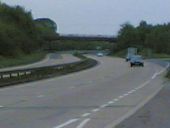
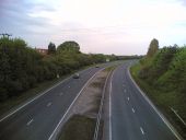
Here's the approach from the west. The bridge you can see is the Eckling Grange bridge shown in the maps above. You can easily spot where the road deviates from its original course - it's where the concrete stops and the tarmac starts. The old road continued dead straight all the way to Etling Green.

