Gallery:Larne
From Roader's Digest: The SABRE Wiki
Jump to navigation
Jump to search
Places in Northern Ireland > Larne
This gallery has no child categories
Larne
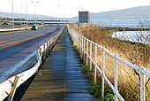
The Harbour Highway, Larne
The Harbour Highway connects Larne harbour to the Belfast road. The view is towards the harbour with the Redlands roundabout (�Harbour Highway roundabout� on the Google map) at top left.
The Harbour Highway connects Larne harbour to the Belfast road. The view is towards the harbour with the Redlands roundabout (�Harbour Highway roundabout� on the Google map) at top left.
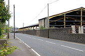
The Bank Road, Larne
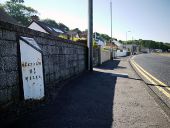
The Bank Road is the road to Carrickfergus. The buildings on the right were used for the storage of coal imported at the Bank Quay. The quay closed to shipping in 1995 and remains unchanged although showing the effects on non-use. This is the view towards Larne.
The Bank Road is the road to Carrickfergus. The buildings on the right were used for the storage of coal imported at the Bank Quay. The quay closed to shipping in 1995 and remains unchanged although showing the effects on non-use. This is the view towards Larne.
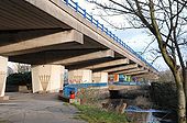
Elevated road, Larne
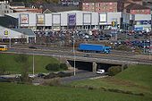
Part of the Harbour Highway is elevated as it bypasses the centre of Larne. The view is towards the harbour with the River Inver on the right.
Part of the Harbour Highway is elevated as it bypasses the centre of Larne. The view is towards the harbour with the River Inver on the right.
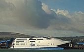
The P&O 'Express' at Larne
See <a href='http://www.geograph.org.uk/photo/1036142'>J3474 : The 'Express' at night, Belfast</a>. The P&O high-speed ferry �Express� has now returned home to Larne, in preparation for the 2009 seasonal sailings to Troon and Cairnryan, starting on 13 March.
See <a href='http://www.geograph.org.uk/photo/1036142'>J3474 : The 'Express' at night, Belfast</a>. The P&O high-speed ferry �Express� has now returned home to Larne, in preparation for the 2009 seasonal sailings to Troon and Cairnryan, starting on 13 March.
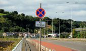
'Clearway' sign, Larne
TO AND FROM THE FERRIES AT LARNE
The Harbour Highway is the Larne bypass on the A8 from Belfast. There is about another mile (and two roundabouts) before the harbour. The harbour is to the right. 7 March 2007.
Originally uploaded to Coppermine on Mar 07, 2007 by Wee HughieNational Cycle Network milepost, Larne (C) Albert Bridge
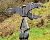
A milepost, along the Promenade, on National Cycle Network route 93, part of which includes the Antrim coast.
A milepost, along the Promenade, on National Cycle Network route 93, part of which includes the Antrim coast.
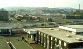
Larne Harbour (1982) Many changes have taken place since 1982. The building at bottom right was the then terminal building. The view is from the “Antrim Princess” on the 19.00 sailing to Stranraer where it connected with the sleeper for Euston. The gantry crane and the containers used to convey parcels and mail from Belfast York Road can be seen at top left. The car park (middle/top right) is now the Fleetwood marshalling area. At top right (by the bushes below the factory) were the remains of WWII air-raid shelters. The car park had once been the site of pens and mixed-gauge sidings for livestock traffic. By 1982, however, all traces of the narrow-gauge lines for bauxite traffic had gone.
