A426
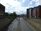
The A426 has serious traffic problems.
Posted by Bryn-A666 on 10/18/2004
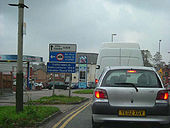
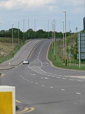
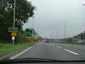
Lubbesthorpe Way in Braunstone Town
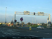
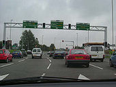
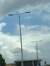
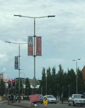
Braunstone Squareabout - Gantries with integral traffic lights!
Leicester Away Day
OP Paul
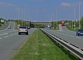
Leicester Forest East MSA - The future of travel - 1960s-style!
Leicester Away Day
OP Paul
A5460 Fosse Way - At the Lights
Leicester Away Day - OP Paul
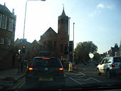
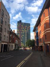
A5460 Narborough Road - Just about to turn in by the tower
Leicester Away Day
OP Paul
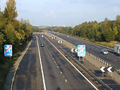
M69 'Enderby Split' 2 - Taken on Leicester Awayday
OP Paul
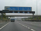
M1 Junction 21 - M69 turning - Note the intermittent shoulders through here.
Posted by Bryn-A666 on 10/18/2004
M1 J21A spur road. - Posted by vBryn-A666 on 10/18/2004
A5460 (ex A46(M))
This used to be the A46(M).
Posted by Bryn-A666 on 10/18/2004
Originally uploaded to Coppermine on May 04, 2005 by M4Simon Leicester
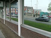
A reflective moment on the A47 at St Nicholas Circle gyratory.
Originally uploaded to Coppermine on May 04, 2008 by SteveA30 Underpass
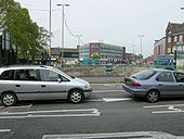
Looking across the A47 to the A50? as it passes under St Nicholas Circle.
Originally uploaded to Coppermine on May 04, 2008 by SteveA30 A563 Squareabout Leicester
Posted by Bryn-A666 on 10/18/2004
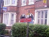
Originally uploaded to Coppermine on May 04, 2005 by M4Simon Tram Track
No One Could Actually Read This Sign, Due To The Bad Angle It Had Being Moved To. Found On The Approach To Leicester's Inner Tram Lines
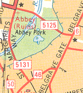
Originally uploaded to Coppermine on May 30, 2008 by Strawberries258 Part of
Leicester in 1975, featuring
A5125 and
A5131
This page includes a scan of a non-free copyrighted map, and the copyright for it is most likely held by the company or person that produced the map. It is believed that the use of a limited number of web-resolution scans qualifies as fair use under United States copyright law, where this web page is hosted, as such display does not significantly impede the right of the copyright holder to sell the copyrighted material, is not being used to generate profit in this context, and presents information that cannot be exhibited otherwise.
If the copyright holder considers this is an infringement of their rights, please contact the Site Management Team to discuss further steps.
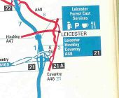
Optimistic 1975 Esso Motorway Map 2
M1 & M69 Junction Layout
Shows a slip road that never made it on the ground. May be the answer to our questions...
OP Brenley Corner
Originally uploaded to Coppermine on Apr 16, 2005 by M4Simon Gantry and mast arm signals on the A453 in Leicester.
Originally uploaded to Coppermine on Jan 10, 2006 by Bryn666
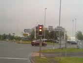
Updated Traffic Signal
Found On The A5460 (Leciester's Outer Orbital) This Roundabout Had Undergone Recent Improvements With Changed Priorities Of Signals.
Originally uploaded to Coppermine on May 30, 2008 by Strawberries258 A594 Leicester Ring Road (C) JThomas
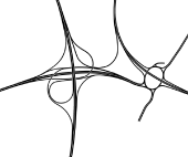
During the planning stage for the
M69 several designs for the terminal junctions were considered. This was the most ambitious design for
M1 J21. The design made use of the existing roundabout bridges beneath the M1. In addition the Leicester Outer Ring Road would have passed over the roundabout at the end of the former
A46(M). There is one flaw in the design concerning the eastbound C/D road beneath the M1 where there is a very short weaving section immediately before the slip road to the northbound outer ring road.
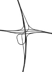
Freeflow design for
M1 J21 as part of plans for the
M69 dating from around 1970. This was one of several junction layouts under consideration at the time. The layout was designed to make use the existing bridges for the roundabout beneath the
M1. No links between the M69 and M1 south were provided.
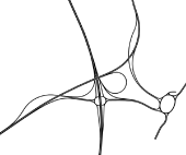
Map showing the full intended layout of
M1 J21 as originally planned in the early 1970s. The junction was built to allow the M69 to continue to the Leicester Outer Ring Road but it was never completed and to this date the stubs remain unused at the end of the M69. A loop was also to be built to allow southbound M1 traffic direct access to the M69.
Leicester - City Centre (C) David Hallam-Jones
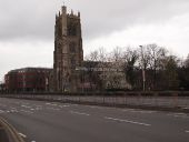
A view of St. Margaret's Way which later becomes Abbey Lane & the northbound A6. The photographer was standing at the commencement of St Margaret's Way at its junction with Vaughan Way/Burley's Way (a continuous section of the inner ring road). Dominating the junction is St Margaret's Anglican Church, one of the five oldest churches in Leicester.
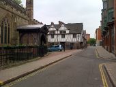
Guildhall Lane, Leicester
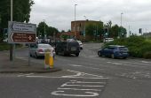
The council are installing a road cushion (speed bump) on Birstall Road. This sign is placed just before the roundabout on Wanlip Lane.
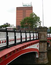
St Augustine Road Bridge
This ornate bridge carries St Augustine Road over the Grand Union Canal. The Holiday Inn at St Nicholas Circle is visible in the background.
Pork Pie Island in Leicester Pork Pie Island is one of the biggest roundabouts in South Leicester, it is named after the pork pie shaped library that is next to the roundabout.
Southfields Library, Leicester Also known as The Pork Pie Library.
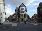
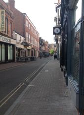
Looking down Wellington Street (left) and King Street (right) in Leicester. Photo from Summer of 2018.
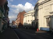
Along Belvoir Street in Leicester, just off Welford Place. This is outside King's Church. Photo from Summer of 2018.
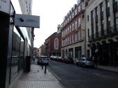
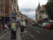
Looking down Friar Lane in Leicester city centre, just off Market Place and Hotel Street. Photo from Summer of 2018.
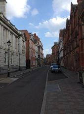
Along Grey Friars in central Leicester. Photo from Summer of 2018.
Along Loseby Lane in central Leicester. Photo from Summer of 2018.
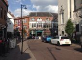
Along St Martins in central Leicester, with Hotel St (right) and Cank St (left) straight ahead. Photo from Summer of 2018.
East Street in Leicester, with view of the Premier Inn City Centre hotel straight ahead. Photo from Summer of 2018.
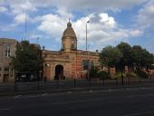
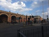
The junction where the A594 and A6 meet, outside Leicester train station. Photo from Summer of 2018.
The junction where the A594 and A6 meet, outside Leicester train station. Photo from Summer of 2018.
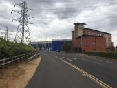
Heading along Raw Dykes Road, outside Leicester FC stadium. Photo from Summer of 2018.
The junction of Raw Dykes Road and Filbert Way, outside Leicester FC stadium. Photo from Summer of 2018.
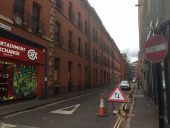
York Street in Leicester, just off Granby Street. No-entry sign as its a one way system. Photo from Summer of 2018.
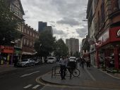
Granby Street in Leicester. Turn off for York Street just to the right. Photo from Summer of 2018.
Granby Street in Leicester. Turn off for Cheatham Street to the left. Photo from Summer of 2018.
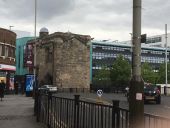
Along the A594, Leicester's main city centre ring-road, just outside the old Magazine Gateway building. Photo from Summer of 2018.
Urbis Evolos on the A6 in Leicester. The previous lanterns on these street lights were white coloured and deep bowled Urbis ZX3s.
Older street lights with unusual curved twin brackets and OrangeTek Arialeds. One of the brackets is twisted as you can see. The previous lanterns I think were either WRTL MRL6s or white coloured Urbis ZX3s. This is on Leicester city centre ring-road (A594).
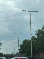
12m steel columns with skinny brackets and Urbis Ampera Maxis (LED). This is along the A5460, on the outskirts of Leicester. I think the previous lanterns were Phosco P678s (HPS/SON) from what I can remember.
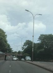
12m columns with skinny brackets and OrangeTek Arialed (LED) lanterns. This is along the A5460, on the way into central Leicester. I think the previous lanterns probably would of been WRTL MRL6s (HPS/SON).
