Gallery:London
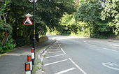
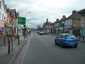
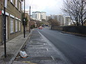
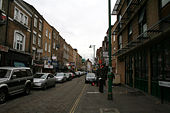
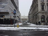
Normally diversion signs are yellow and temporary, this is grey and put up to herald the one way system on Old Oak Common Road about 30 years ago
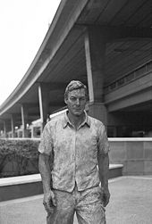
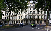
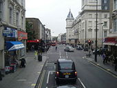
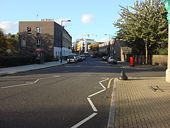
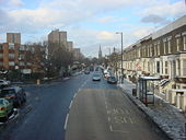
Originally uploaded to Coppermine on Sep 26, 2009 by DavidNW9Striding out of Marylebone towards North Kensington
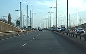
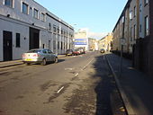
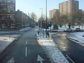
Originally uploaded to Coppermine on Feb 28, 2008 by LilForest of lamp columns due to lighting upgrade.
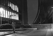
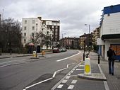
Originally uploaded to Coppermine on Jan 07, 2008 by TruveloThe Westway (A40) by night from Paddington Basin/Little Venice, London.
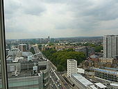
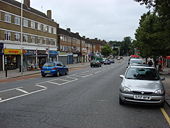
Originally uploaded to Coppermine on Feb 28, 2008 by LilView west along the A40 towards the Westway. Taken from the hotel next to the Marylebone flyover.
Originally uploaded to Coppermine on Sep 09, 2007 by Ash of the NorthThe A4 & A40 used to start in the City of London. Due to the IRA bombing campian in the late 1960's-early 90's, the roads around bank were declasfided and now are unnumbered.
Originally uploaded to Coppermine on Mar 05, 2007 by ABeatonFacing towards the other way from the old A40, we see the start of the modern road. It is a very different road to the one at the other end at Fishgrard in Wales. In the heart of the City, the A40 is very mush a city road. It is over 200 miles to Fishgrard and the A40 goes though Oxford Street, Northolt, many, many more places besides.
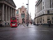
Originally uploaded to Coppermine on Oct 22, 2006 by ABeatonDuring the height of the IRA bombing campain, alot of the City of London roads were declasfifed. The A40 was one of those roads. Dubbed the ring of steel, it was meant to detrre the IRA. It heads towards Bank.
Originally uploaded to Coppermine on Oct 22, 2006 by ABeatonHere is anoter view of Oxford Street. In this more central view, you see it is a S2 road. With Centre Point in the background and the busyness, its Oxford Street alright. Oh Yes.
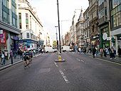
Originally uploaded to Coppermine on Oct 22, 2006 by ABeatonHere we are on the world famous Oxford Street. All your favourite shops are here plus more! A part of the A40, this section of the A40 is Buses only. If Ken Livingstone gets his way, it would ban the bus and replace them with trams. A lot more greener shall we say. Very busy as well hence the car ban.
Originally uploaded to Coppermine on Oct 22, 2006 by ABeatonHere is another view of the world famous Oxford Street numbered A40.
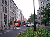
Originally uploaded to Coppermine on Oct 22, 2006 by ABeatonLooking west from Holborn Circus along the A40
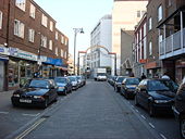
Originally uploaded to Coppermine on Jul 28, 2005 by M4SimonLooking south towards the start of the A4.
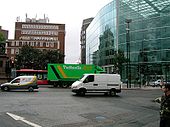
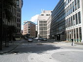
Originally uploaded to Coppermine on Jul 28, 2005 by M4SimonLooking south. The gap between the buildings contains the start of the A4. Three zones are visible in this picture. I'm standing in zone 5. The glass building (Sainsbury's HQ) is in zone 4 and the other building is in zone 3.
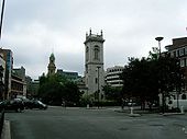
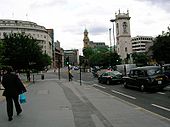
Originally uploaded to Coppermine on Jul 28, 2005 by M4SimonLooking towards St Andrews Church. Holborn Viaduct runs to the left of the Chruch.
Originally uploaded to Coppermine on Jul 27, 2005 by M4SimonThe A201 is the Northern most Zone 2 number. Deep in the heart of London, it goes under Holburn Viaduct. The Nearby Holburn Viaduct Station was relaced in the early 1990's by City Thameslink (Originaly named St. Pauls Thameslink). The Viaduct itself carries the A40. It is one of the few viaducts in the city of London itself.
Originally uploaded to Coppermine on Mar 05, 2007 by ABeatonGeneral View along the A40 looking east towards Holborn Viaduct
Originally uploaded to Coppermine on Jul 27, 2005 by M4SimonThis is a curious junction. It is a kind of roundabout, in that traffic has to pass the statue of Prince Albert in the middle as if it was a roundabout. Yet all approaches are signallised, and traffic turning right from Holborn into New Fetter Lane or St Andrews Street has to give way to oncoming traffic.
Originally uploaded to Coppermine on Jul 27, 2005 by M4SimonAnother scan from the 1995 A to Z London map. This time showing the now downgraded A40(M) Westway and M41 West Cross motorway.
Jim
Originally uploaded to Coppermine on Mar 30, 2005 by M4Simon
This page includes a scan of a non-free copyrighted map, and the copyright for it is most likely held by the company or person that produced the map. It is believed that the use of a limited number of web-resolution scans qualifies as fair use under United States copyright law, where this web page is hosted, as such display does not significantly impede the right of the copyright holder to sell the copyrighted material, is not being used to generate profit in this context, and presents information that cannot be exhibited otherwise.
If the copyright holder considers this is an infringement of their rights, please contact the Site Management Team to discuss further steps.
The A1 / A406 junction as seen on a 1995 A to Z London map was to be improved (by I believe) a flyover & side roads. Unfortunately, it was transferred to TfL and subsequently shelved.
Jim
Originally uploaded to Coppermine on Mar 30, 2005 by M4Simon
This page includes a scan of a non-free copyrighted map, and the copyright for it is most likely held by the company or person that produced the map. It is believed that the use of a limited number of web-resolution scans qualifies as fair use under United States copyright law, where this web page is hosted, as such display does not significantly impede the right of the copyright holder to sell the copyrighted material, is not being used to generate profit in this context, and presents information that cannot be exhibited otherwise.
If the copyright holder considers this is an infringement of their rights, please contact the Site Management Team to discuss further steps.


