Gallery:M3 (Republic of Ireland)
From Roader's Digest: The SABRE Wiki
Jump to navigation
Jump to search
Motorways in the Republic of Ireland > M3 (Republic of Ireland)
This gallery has no child categories
M3 (Republic of Ireland)
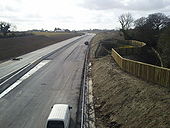
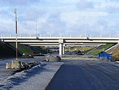
M3 Motorway, Co Meath
The M3 motorway under construction at Baronstown, between Tara and Skreen, Co Meath.
The M3 motorway under construction at Baronstown, between Tara and Skreen, Co Meath.
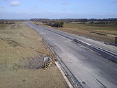
Motorway under construction, Co Meath
The M3 motorway under construction between Screen and Tara Co Meath.
The M3 motorway under construction between Screen and Tara Co Meath.
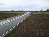
M3 Motorway, near Dunshaughlin
A section of the M3 motorway under construction, near Dunshaughlin, Co Meath
A section of the M3 motorway under construction, near Dunshaughlin, Co Meath
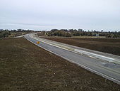
M3 Northbound
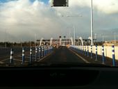
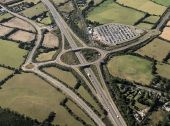
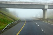
This is the M3 Northbound at the Pace Junction which will serve the Pace Park and Ride, Dunboyne Bypass, old road for Ratoath and Trim and is the last junction before the first toll.
The roundabout is probably a candidate for biggest in the country. Its simply huge in diameter.
Originally uploaded to Coppermine on Nov 02, 2009 by SheridanjM3 Park and Ride
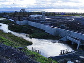
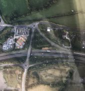
This is the M3 Park and Ride at Pace, near Dunboyne. The Picture is taken from the northbound off slip. The River Tolka is in foreground meandering through the works. The Railway is in two stages to Navan. The first should open next year in tandum with the M3 and is the spur from Clonsilla to Pace and the second phase is from here at Pace to Navan which is due to be built by 2015.
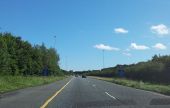
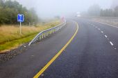
Originally uploaded to Coppermine on Nov 02, 2009 by SheridanjNorthbound M3 between Navan and Kells. The rectangular blue signs at regular intervals (usually every 500 m) along the side of the National (including motorway) dual-carriageway road network in the Republic of Ireland are referred to as Location Reference Indicators (LRIs). They are very similar in both design and purpose to the Driver Location Signs (DLS) seen along motorways and trunk-road dual carriageways in England. The first line of text displayed on such signs indicates the road being travelled on, in this case the M3. The second row indicates the compass direction in which the driver is travelling, which can only be N(orth), S(outh), E(ast), or W(est). The third row indicates the distance in kilometres from the start of the road.
