Gallery:M66

From Roader's Digest: The SABRE Wiki
Jump to navigation Jump to search


This gallery has no child categories
M66
 
 
Simister - Coppermine - 17109.jpg
Simister Originally uploaded to Coppermine on Mar 01, 2008 by Schult
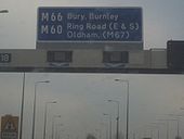
Exiting the M60 to get onto the M60 - Coppermine - 17038.jpg
Exiting the M60 to get onto the M60

Sign at the exit. whats that? traffic lights? on the mainline? grrrrr......

Originally uploaded to Coppermine on Feb 22, 2008 by RoadaddictReece
Junction 4 M66 South - Coppermine - 17763.jpg
Junction 4 M66 South

about teatime.

Originally uploaded to Coppermine on Apr 14, 2008 by Schult
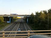
Junction 18 - Geograph - 982620.jpg
Junction 18
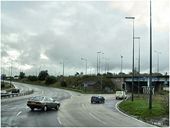
Manchester Ring Road - Geograph - 51512.jpg
Manchester Ring Road
Junction 18 of the M60-M62 at Simister - Geograph - 359232.jpg
Junction 18 of the M60/M62 at Simister
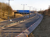
Southern end of the M66 - Coppermine - 17108.jpg
Southern end of the M66 Originally uploaded to Coppermine on Mar 01, 2008 by Schult
M66 Ramsbottom - Coppermine - 3472.jpg
M66 Ramsbottom

The M66 at Ramsbottom, looking north. The motorway cuts through the east side of the town, but you would never guess you were passing through an urban area. Note that it is also unlit here.

Originally uploaded to Coppermine on Sep 12, 2005 by PeterA5145
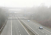
Simister Island in Fog - Geograph - 1678384.jpg
Simister Island in Fog
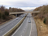
M66 Peel Brow Bridge - Geograph - 1708208.jpg
M66 Peel Brow Bridge
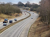
M66 Towards Bury - Geograph - 1708199.jpg
M66 Towards Bury
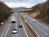
M66 - Geograph - 1708346.jpg
M66
M66 rcs.JPG
Original RCS on the M66.
M66 services.JPG
Services advisory sign on the M66.
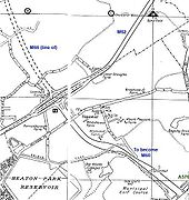
Old Manchester 1. M62 J18 - Coppermine - 235.jpg
Old Manchester 1. M62 J18

It's the very first bit to the M66 to be 'finished'. It doesn't seam to end at an island though just a T junction with the A576? Originally uploaded to Coppermine on Apr 04, 2005 by Mediaman_12

This page includes a scan of a non-free copyrighted map, and the copyright for it is most likely held by the company or person that produced the map. It is believed that the use of a limited number of web-resolution scans qualifies as fair use under United States copyright law, where this web page is hosted, as such display does not significantly impede the right of the copyright holder to sell the copyrighted material, is not being used to generate profit in this context, and presents information that cannot be exhibited otherwise.
If the copyright holder considers this is an infringement of their rights, please contact the Site Management Team to discuss further steps.

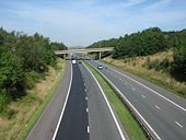
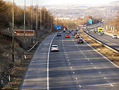
M66 towards Pilsworth - Geograph - 1742031.jpg
M66 towards Pilsworth
Looking along the M66 from the Castle Road bridge towards Pilsworth and Bury.
M66 towards Simister - Geograph - 1741988.jpg
M66 towards Simister
Looking along the M66 towards the Simister Island junction with the M60 and M62. Taken from the Hills Lane bridge.
Ferngrove Estate 001.jpg
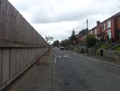
Looking north along the Ferngrove Estate in Bury. The M66 dominates the area.
Ferngrove Estate 002.jpg
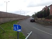
Another view of the Ferngrove Estate. A ramp emerges from one of two subways under the motorway. At night the motorway is no longer lit so some of the visual intrusion is reduced.
Ferngrove Estate 003.jpg
The western side of the M66 has not got the luxury of green space; prior to the M66 construction it looks like a junction was intended at this location. The motorway put paid to all that leaving only two subways and a convoluted loop further north as accesses between the two sides of the estate.
M66 Video Thumb.jpg
Screenshot for video of M66 motorway
A555 or M555 Manchester - Coppermine - 942.jpg
A555 or M555? Manchester

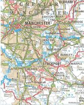
The Manchester A555 was it ever planned as a motorway? Perhaps to connect to the projected A6(M) Stockport north / south bypass? Well this scan from a 1988 'Reader's Digest' Road Atlas has the tell tale blue dashed line to say 'projected motorway'.

OP jim

Originally uploaded to Coppermine on Apr 17, 2005 by M4Simon

This page includes a scan of a non-free copyrighted map, and the copyright for it is most likely held by the company or person that produced the map. It is believed that the use of a limited number of web-resolution scans qualifies as fair use under United States copyright law, where this web page is hosted, as such display does not significantly impede the right of the copyright holder to sell the copyrighted material, is not being used to generate profit in this context, and presents information that cannot be exhibited otherwise.
If the copyright holder considers this is an infringement of their rights, please contact the Site Management Team to discuss further steps.

M66 - Coppermine - 11615.jpg
M66

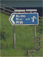
J3, original on-ramp signage.

Originally uploaded to Coppermine on May 09, 2007 by snowdon
M66 - Coppermine - 11616.jpg
M66

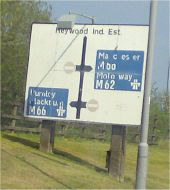
J3, original signage. Note emphasis on M62, and M66 leading to Manchester...

Originally uploaded to Coppermine on May 09, 2007 by snowdon
M66 at Shuttleworth - Stubbins URC Church behind 53.6582839N 2.3062903W.jpg
M66 at Shuttleworth, Stubbins URC Church in distance (since demolished).

See additional photos: http://www.ramsbottomheritage.org.uk/cpg/displayimage.php?album=26&pos=599

and 
http://www.rossendale-fhhs.org.uk/files/rawtenstall_churches/church_050.html
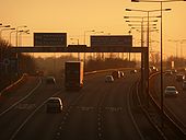
Simister Island freeflow links.png
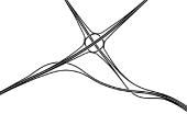
Originally planned freeflow links at Simister Island
Castle Hill Interchange Stockport.png
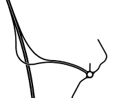
Planned layout of Castle Hill Interchange (Stockport) which would have provided the missing north facing connection from the local road network onto the M66 at Bredbury Interchange. In the end these slip roads were built at Bredbury making this junction redundant.
Snipe Interchange alternative option.png
Alternative design for Snipe Interchange from a 1980 consultation.
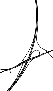
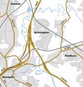
Bredbury Interchange Layout Y.png
1976 proposal for the junction sited to the west of Brinnington
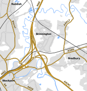
Bredbury Interchange Layout Z.png
1976 proposal for the junction sited to the west of Brinnington
 
Gallery of M66 related videos
 
   
M66 Motorway Southbound
   
M60 Simister Island June 2020 Consultation Option 1
   
M60 Simister Island June 2020 Consultation Option 2

SABRE - The Society for All British and Irish Road Enthusiasts
Discuss - Digest - Discover - Help