Gallery:N1
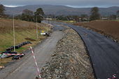
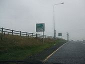
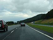
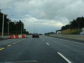
At Ravensdale. Looks like the old road will be subsumed here, hence the A1/N1 link will not be motorway.
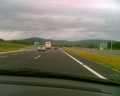
Originally uploaded to Coppermine on Sep 25, 2005 by csdLooking into NI, taken 15.11.2009.
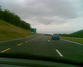
Originally uploaded to Coppermine on Nov 15, 2009 by csdIn N.Ireland, note only the N1 signed.
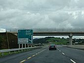
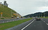
Originally uploaded to Coppermine on Aug 30, 2008 by MDTyKeThis is the bridge at Jonesborough, just on the border.
Originally uploaded to Coppermine on Sep 03, 2006 by csdThis is north of Jonesborough, so in Northern Ireland. Note the culverting.
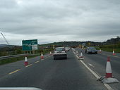
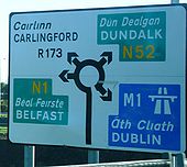
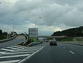
Originally uploaded to Coppermine on Sep 03, 2006 by csdThis shows the approach to Ballymascanlon roundabout on the N52, which is receiving a lot of attention as construction of the M1 Dundalk Western Bypass progresses. This will be the temporary end of the improved road, as the N1 A1 Dundalk - Newry link only started construction this year. Note the A1 is signed, even though this is south of the border.
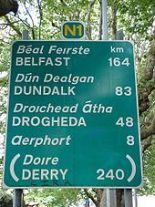
Originally uploaded to Coppermine on Apr 17, 2005 by csdThis is the first sign on the N1 which provides distances to towns. It is also one of the few remaining on the N1 south of the airport. However, are these distances still valid, given the motorway sections through Drogheda and Dundalk?
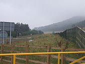
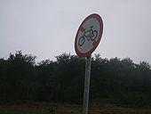
Originally uploaded to Coppermine on Sep 09, 2009 by michaelsaFrom the customs area off the N1. No cyclists allowed back on. Cycle path is noted, which is a track alongside Ravensdale (where the old N1 was). Cyclists re-routed...
Originally uploaded to Coppermine on Aug 30, 2008 by MDTyKeThis is a close up of the sign, from the customs check on the N1.
Originally uploaded to Coppermine on Aug 30, 2008 by MDTyKeNo N1 stamp on the Newry bit? Looks a little odd
Originally uploaded to Coppermine on Aug 30, 2008 by MDTyKeRamp onto N1, between Newry and Dundalk.
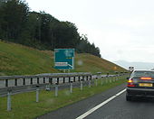
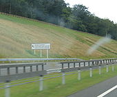
Originally uploaded to Coppermine on Aug 30, 2008 by MDTyKeThe white signs on the left of the carriageway mark the entrance to a slip road giving access to the military compound/inspection point that was on the SB side of the old road. The signs say 'Official vehicles only' in Irish (only).
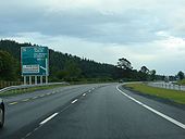
Originally uploaded to Coppermine on Aug 06, 2007 by csdADS for Ravensdale exit (J19)
Originally uploaded to Coppermine on Aug 06, 2007 by csdADS for Jonesborough/Carrickcarnan exit (J20)
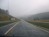
Originally uploaded to Coppermine on Aug 06, 2007 by csdHeading south just after crossing the border. Note the 70 km/h speed limit on the sliproad. While certainly more welcome than the usual 60 km/h, I don't think it's quite legal!
Originally uploaded to Coppermine on Aug 06, 2007 by csdOnslip from Jonesborough/Carrickcarnan junction trails in on the left
Originally uploaded to Coppermine on Aug 06, 2007 by csdLast confirmation before final exit in Republic
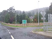
Originally uploaded to Coppermine on Aug 04, 2007 by IJP1Jonesborough exit (Jonesborough is actually in Co Armagh, in the North)
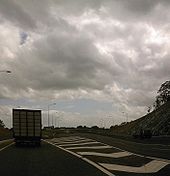
Originally uploaded to Coppermine on Aug 04, 2007 by IJP1Start of contraflow section, heading north. Three days before the road is due to open fully.
Originally uploaded to Coppermine on Jul 29, 2007 by csdThree days before opening, work continues on the northbound carriageway.
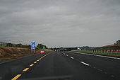
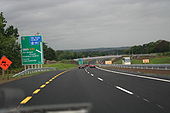
Originally uploaded to Coppermine on Jul 29, 2007 by csdSouthbound. Now this is odd. It's 1km to the start of the motorway, but only 300m to the last exit for non-motorway traffic.
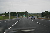
Originally uploaded to Coppermine on Jun 15, 2007 by mackerskiSouthbound. Here's where we lose the non-motorway traffic. So the motorway starts at this point. Where are the chopsticks?
Originally uploaded to Coppermine on Jun 15, 2007 by mackerskiSouthbound. It's magic! A motorway starting casually a few hundred metres beyond the last exit for non-motorway traffic. Good to see Louth County Council living up to their usual high standards of signposting.
Originally uploaded to Coppermine on Jun 15, 2007 by mackerskiSouthbound
Originally uploaded to Coppermine on Jun 15, 2007 by mackerskiSouthbound
Originally uploaded to Coppermine on Jun 15, 2007 by mackerskiSouthbound
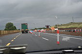
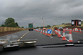
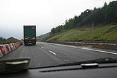
Originally uploaded to Coppermine on Jun 15, 2007 by mackerskiSouthbound, approaching the end of the contraflow section.
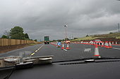
Originally uploaded to Coppermine on Jun 15, 2007 by mackerskiSouthbound, at the end of the contraflow section
Originally uploaded to Coppermine on Jun 15, 2007 by mackerskiSouthbound, at the end of the contraflow section
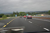
Originally uploaded to Coppermine on Jun 15, 2007 by mackerskiSouthbound, approaching M1
Originally uploaded to Coppermine on Jun 15, 2007 by mackerskiSouthbound
Originally uploaded to Coppermine on Jun 15, 2007 by mackerskiSouthbound. Beware of Disney characters.
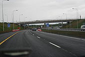
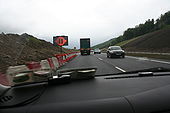
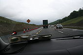
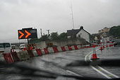
Originally uploaded to Coppermine on Jun 15, 2007 by mackerskiApproaching the temporary northern end of the scheme. Traffic is forced to bear right at the white building.
Originally uploaded to Coppermine on Jun 15, 2007 by mackerskiApproaching the temporary northern end of the scheme. Traffic is forced to bear right at the white building.
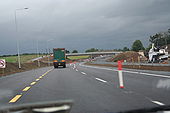
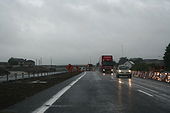
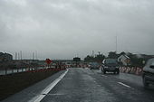
Originally uploaded to Coppermine on Jun 15, 2007 by mackerskiAt the temporary northern end of the scheme. You can see how traffic continues along the old road. The yellowish building in the distance is the Carrickdale Hotel.
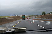
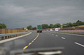
Originally uploaded to Coppermine on Jun 15, 2007 by mackerskiHeading south. You can just make out the old road to the left.
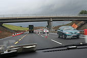
Originally uploaded to Coppermine on Jun 15, 2007 by mackerskiLooking a bit more complete here. The existing N1 is to the right. 29.04.2007.
Originally uploaded to Coppermine on Apr 29, 2007 by csdSouthbound. 60km/h? Some mistake, surely. This section is finished.
Originally uploaded to Coppermine on Jun 15, 2007 by mackerskiSouthbound, approaching M1
Originally uploaded to Coppermine on Jun 15, 2007 by mackerskiHeading north in contraflow on future southbound carriageway
Originally uploaded to Coppermine on Jun 15, 2007 by mackerski