Gallery:N2
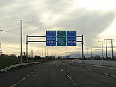
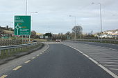
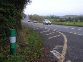
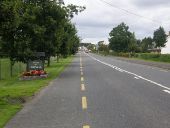
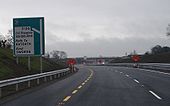
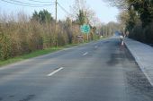
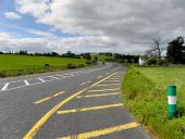
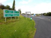
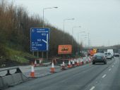
Currently (2 Apr 2006), the 17 km N2 Finglas - Ashbourne scheme's southern and northern sections are open, with the central section due to open in May. This is the current end of the northern section, heading south towards Dublin.
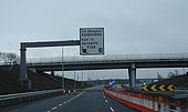
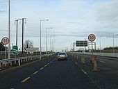
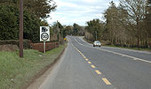
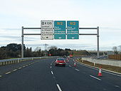
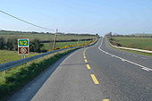
Originally uploaded to Coppermine on Apr 02, 2006 by csdHeading south, shortly after the improved section starts, we get a route confirmatory/distance sign, and those speed limit signs in the distance show a 120 km/h limit -- on of the first (if not the first) use of 120 km/h on a non-motorway. Note the very narrow central reservation. Apologies for the blur, but the light was fading fast.
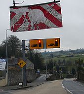
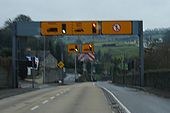
Originally uploaded to Coppermine on Apr 02, 2006 by csdThe reason for all the rigmarole of separate HGV and car traffic lights: the notorious right-hander at the foot of the hill, south of Slane village. Lives have been lost at this bends when trucks failed to negotiate the bend and either ploughed into the river, or into oncoming cars.
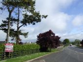
Originally uploaded to Coppermine on Apr 02, 2006 by csdA close-up of the repeater lights gantry assembly. The battered height limit sign in the foreground is suspended from the gantry assembly at the Stop line.
Originally uploaded to Coppermine on Apr 02, 2006 by csdFor years a notorious blackspot, the N2 southbound at Slane. The problem was a steep downhill gradient followed by a 90-degree right-hand turn onto the narrow Boyne bridge, which many trucks failed to negotiate safely which led to many loss of life accidents. The solution is to bring HGVs to a stop at these lights and send them down the hill on their own. Cars follow on the next traffic light sequence. This, and the re-routing of most Derry-bound traffic to the M1/N33 route has led to a drop in accidents.
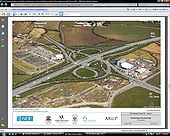
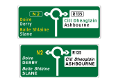
Originally uploaded to Coppermine on Apr 02, 2006 by csdThe proposed N2 interchange with the M50 replacing the current standard rotary.
Originally uploaded to Coppermine on Apr 18, 2007 by odlum...doesn't even get a number.
Originally uploaded to Coppermine on Nov 27, 2005 by csdNot sure why the centre gantry says (M50)... lane 1 is M50 northbound and lane 3 is M50 southbound...
Originally uploaded to Coppermine on Nov 27, 2005 by csdThe 2+1 section has one grade-separated junction.
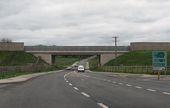
Originally uploaded to Coppermine on Apr 19, 2009 by csdGrade-separated junction for the R183.
Originally uploaded to Coppermine on Apr 19, 2009 by csdApproaching the northern end of the 2+1 section.
Originally uploaded to Coppermine on Apr 19, 2009 by csdDodgy gantry still in evidence, Feb 2009. Presumably they're waiting for motorway redesignation before replacing the sign panels! Originally uploaded to Coppermine on Apr 19, 2009 by csd
These were replaced with blue motorway signs between 2009 and 2011. C2r, December 2015
Originally uploaded to Coppermine on Apr 19, 2009 by csd
These were replaced with motorway signs between 2009 and 2011 with blue motorway signs. C2r, December 2015
Southern end, heading north.
Originally uploaded to Coppermine on Apr 19, 2009 by csdSouthern end, heading north.
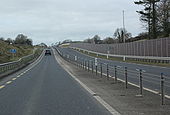
Originally uploaded to Coppermine on Apr 19, 2009 by csdD2+1 aka 'Type 3 Dual Carriageway' section.
Originally uploaded to Coppermine on Apr 19, 2009 by csdThis speed camera sign with 60mph roundel was still in place on the N2 south of Ardee when this picture was taken in March 2005.
Originally uploaded to Coppermine on Nov 26, 2006 by Truvelo...coming over all French!
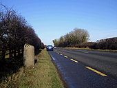
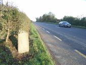
Originally uploaded to Coppermine on Nov 27, 2005 by csd6 miles (Irish) from Ashbourne. Miles in Ireland were 6,720ft in olden days, rather than the modern standard of 5,280ft. Their surveying was a bit off however as this is 12,484m from the Ashbourne 'zero' milestone, equalling 40,958ft which equals 6.1 Irish miles.
Numbered junction 3, this is the 500 m ADS.
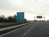
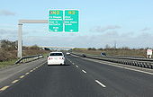
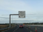
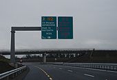
Originally uploaded to Coppermine on Apr 02, 2006 by csdOh dear, the awful and confusing new-style gantry signage (first seen on the M50 South Eastern Motorway and associated M11 upgrades) make another appearance here. Expect plenty of people pulling out into the overtaking lane once the full scheme is open and the right-hand sign panel is unobscured.
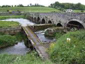
Originally uploaded to Coppermine on Apr 02, 2006 by csdThe long multi-arched structure is a single carriageway bottleneck on the N2 Dublin to Derry road. The diverted section of the river in the foreground sends water to Slane corn mill, see <a href='http://www.geograph.org.uk/photo/455609'>N9673 : Slane Mill, Co. Meath</a>.
Yuk yuk... the new-style Irish overhead gantries with the needless, confusing repetition of information on the two mainline lane signs.
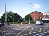
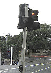
Originally uploaded to Coppermine on Nov 27, 2005 by csdJust a view of a signal controlled crossing which the pedestrian lights look very much like traffic lights!
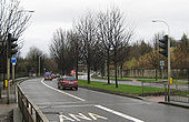
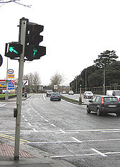
Originally uploaded to Coppermine on Jan 23, 2008 by DorsetWayI've found some more square shaped traffic lights on the N2 road leading out of Dublin. Luckily I caught these before more new AluStars spread further! The pedestrian lights all are retrofitted Peek Elites. I have a feeling these won't be here in a year's time as the next junction down the hill has been fitted out with, yes, more AluStars....
Originally uploaded to Coppermine on Jan 27, 2008 by DorsetWayI've found some more square shaped traffic lights on the N2 road leading out of Dublin. Luckily I caught these before more new AluStars spread further! The pedestrian lights all are retrofitted Peek Elites. I have a feeling these won't be here in a year's time as the next junction down the hill has been fitted out with, yes, more AluStars....
Originally uploaded to Coppermine on Jan 27, 2008 by DorsetWay