Gallery:N8
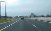
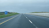
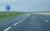
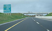
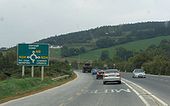
Built in 2003 as part of the Watergrasshill bypass which ties into the Glanmire bypass and soon to be tied into the Fermoy bypass
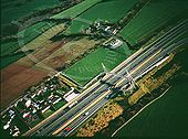
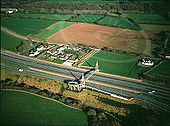
Originally uploaded to Coppermine on Apr 15, 2006 by Mid333This used to be all at grade until the flover was added c.1997 To the north is the Cork-Cobh railway line.
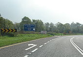
Originally uploaded to Coppermine on Apr 15, 2006 by murphaphApproaching the Cashel south/N74 exit.
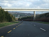
Originally uploaded to Coppermine on Dec 08, 2007 by csdThe overbridge shown is the one that the other two Glanmire Bypass photos were taken from.
Originally uploaded to Coppermine on Jan 25, 2009 by FuretLooking south towards Cork.
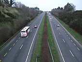
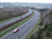
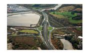
Originally uploaded to Coppermine on Jan 25, 2009 by FuretThis was taken from an overbridge (which was extremely difficult to get to!) and shows the Glanmire Bypass looking north. Although it's not apparent in the photo, the descent is quite steep, making the bend slightly sharp at higher speeds. The Glanmire Bypass is a motorway redesignation candidate.
Originally uploaded to Coppermine on Jan 25, 2009 by FuretSigned N24 in this recently-erected sign, as the N8 will be rerouted onto the Cahir to Mitchelstown HQDC currently under construction.
Originally uploaded to Coppermine on Dec 08, 2007 by csdThis is now signed N24 in preparation for the opening of the southern section of HQDC. Northbound traffic is now diverted onto the newly-opened section north of Cahir.
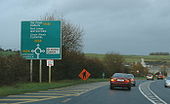
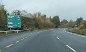
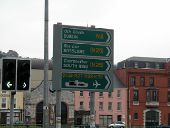
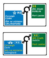
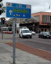
Originally uploaded to Coppermine on Dec 08, 2007 by csdSorry for the blur, but it really does have both N8 and E-201 on there. Similar style to the Gorey bypass N11/E-01 signage.
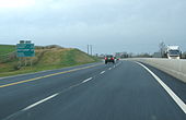
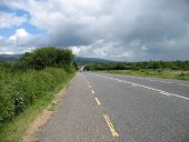
Originally uploaded to Coppermine on Dec 08, 2007 by csdSolid hard shoulder, but this is not a motorway. I guess it'll make the upgrade easier!
Originally uploaded to Coppermine on Dec 08, 2007 by csdN8 Cashel - Cahir section.
Originally uploaded to Coppermine on Dec 08, 2007 by csdOn the newly-opened Cashel - Cahir section.
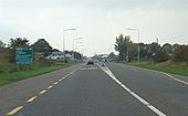
Originally uploaded to Coppermine on Dec 08, 2007 by csdThe Glanmire bypass is quite twisty.
Originally uploaded to Coppermine on Dec 08, 2007 by csdNot in the best of shape. This portion of the N8 will be replaced by the Cullahill - Cashel scheme, due for completion Q4 2009. Map of the scheme is here: http://www.nra.ie/RoadSchemeActivity/SchemeMaps/file,4368,en.pdf - this shot taken near the proposed J5.
Originally uploaded to Coppermine on Feb 23, 2007 by csdFlat junction with 'ghost' islands separating the traffic.
Originally uploaded to Coppermine on Feb 23, 2007 by csdTo the left, the results of the archaeological digs for the N8 Cullahil - Cashel scheme. This shot was taken at the northern end of the N8 Cashel bypass, which is incorrectly shown as S2 on the viamichelin site. The 40 km Cullahill - Cashel scheme is the longest single stretch of road ever constructed as part of a single project. The northern 10 km between Cullahil and Urlingford will be motorway, as it will run end-on into the M8 Portlaoise - Cullahill scheme. The remaining 30 km will be HQDC. Sigh.
Originally uploaded to Coppermine on Feb 23, 2007 by csdRCS on the bypass.
Originally uploaded to Coppermine on Feb 23, 2007 by csdThe Cashel bypass's only intermediate junction is this one, with the R692. The HQDC bypass opened in October 2004, removing a notorious bottleneck on the Dublin - Cork road. viamichelin.com incorrectly shows it as S2; it is infact D2.
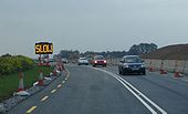
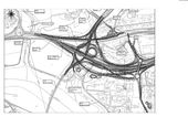
Originally uploaded to Coppermine on Feb 23, 2007 by csdContraflow here due to the Cashel - Michelstown HQDC scheme. A grade-separated junction is being constructed here to replace the roundabout that was the former southern terminus of the N8 Cashel bypass. This roundabout only lasted from October 2004 to about March 2006 before it was dug up. The design of the new interchange is here http://www.phmcc.com/N8EIS/Volume3-Drawings/3_1MainlinePlanProfile/3_1_22.pdf
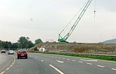
Originally uploaded to Coppermine on Feb 23, 2007 by csdThis shot is taken at the northern end of the S2 Cahir bypass. The construction work visible is part of the Cashel to Michelstown HQDC scheme. This will be the bridge that carries the link from Cahir to the HQDC over the existing N8.
Originally uploaded to Coppermine on Feb 23, 2007 by csdCurrently, the N8 and N24 intersect at an at-grade roundabout on the S2 Cahir bypass. The 37 km long N8 Cashel to Michelstown HQDC scheme will see this section of the N8 bypassed to the right (west) of the current road. The N24 will also get an S2 bypass to the north of Cahir. Map at http://www.phmcc.com/N8EIS/Volume3-Drawings/1_2ProposedRoad/1_2_1.pdf
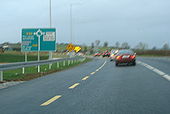
Originally uploaded to Coppermine on Feb 23, 2007 by csdThis rather strange ADS shows the Michelstown relief road as it arcs to the west of the town. Slightly confusing, IMHO, as it looks like a deformed reverse roundabout!
Originally uploaded to Coppermine on Feb 23, 2007 by csdThis single-carriageway western bypass of Michelstown opened in July 2006. Its life as the N8 will be relatively short-lived, as the N8 HQDC scheme from north of Fermoy to North of Michelstown will pass to the west of the town. This missing link is the only part of the N8 dualling not completed or under construction as of Feb 2007, which probably means it'll be the last to be finished, hence the temporary relief road. viamichelin.com incorrectly show this as HQDC under construction.
Originally uploaded to Coppermine on Feb 23, 2007 by csdNew signage to warn drivers of the tolled nature of the M8 Fermoy bypass.
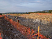
Originally uploaded to Coppermine on Oct 16, 2006 by csdRock cutting with sides being shaped and topsoiled on batters above cutting. Note screened stone being stored for surfacing. New N8 Johnstown, Kilkenny
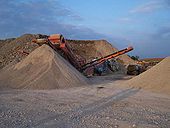
Originally uploaded to Coppermine on Jun 10, 2007 by JBKRock being screened on site at Johnstown, Kilkenny on new N8 HQDC
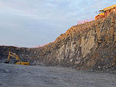
Originally uploaded to Coppermine on Jun 10, 2007 by JBKRock cutting on new N8 looking north at (Johnstown, Kilkenny)
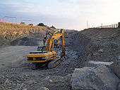
Originally uploaded to Coppermine on Jun 10, 2007 by JBKRock being taken out by 60t Komatsu on N8 (at Johnstown, Kilkenny) looking north towards Dublin
Originally uploaded to Coppermine on Jun 10, 2007 by JBKOn the newly-opened Cashel - Cahir section of the N8.
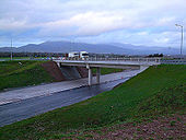
Originally uploaded to Coppermine on Dec 08, 2007 by csdThis shows the section under construction in December 2008. The overbridge is carrying the single carriageway N8. When the motorway beneath opens, the road above will be reclassified the R639.
Originally uploaded to Coppermine on Dec 27, 2008 by FuretNote the climbing lane in our direction.
Originally uploaded to Coppermine on Feb 23, 2007 by csd
