Gallery:NCN13
From Roader's Digest: The SABRE Wiki
Jump to navigation
Jump to search
National Cycle Network > NCN13
This gallery has no child categories
NCN13
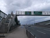
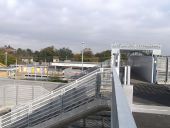
Footbridge to Gascoigne Road, Barking (C) David Anstiss
This bridge passes over the A13 Dual carriageway (between Dagenham and central London). The path on the left is also used by the Cycle Superhighway (and National Cycle Route 13) from Dagenham towards London.
This bridge passes over the A13 Dual carriageway (between Dagenham and central London). The path on the left is also used by the Cycle Superhighway (and National Cycle Route 13) from Dagenham towards London.
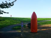
National Cycle Network 13 and red bullet (C) David Anstiss
The cycle network leads from Centurion Way towards a riverside path towards Aveley Marshes.
It passes a Grade II listed gunpowder magazine, whose exhibits include this large gun shell.
The cycle network leads from Centurion Way towards a riverside path towards Aveley Marshes.
It passes a Grade II listed gunpowder magazine, whose exhibits include this large gun shell.
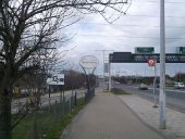
Entering Newham (C) David Anstiss
The Cycle Superhighway leads beside the A13 dual carriageway heading into London from Barking and Dagenham. It passes over Spur Road (which leads left towards Showcase Cinema).
The Cycle Superhighway leads beside the A13 dual carriageway heading into London from Barking and Dagenham. It passes over Spur Road (which leads left towards Showcase Cinema).
National Cycle Network 13 towards... (C) David Anstiss
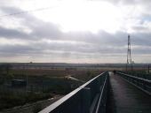
The cyclepath leads from Rainham through the Rainham Marshes towards the access lane (to a landfill site), the cyclepath then leads to the River Thames.
The cyclepath leads from Rainham through the Rainham Marshes towards the access lane (to a landfill site), the cyclepath then leads to the River Thames.
National Cycle Network 13 near Ferry... (C) David Anstiss
The cyclepath leads from Rainham Railway Station through the Rainham Marshes towards the A13 (dual carriageway, seen in the background), the cyclepath then leads (through another section of the marshes to Coldharbour Lane.
The cyclepath leads from Rainham Railway Station through the Rainham Marshes towards the A13 (dual carriageway, seen in the background), the cyclepath then leads (through another section of the marshes to Coldharbour Lane.
National Cycle Network 13 near Ferry... (C) David Anstiss
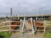
The cyclepath leads from Coldharbour Lane (an access lane to a landfill site) through the Rainham Marshes towards the A13 (dual carriageway, seen in the background), the cyclepath then leads to Rainham Railway Station.
The cyclepath leads from Coldharbour Lane (an access lane to a landfill site) through the Rainham Marshes towards the A13 (dual carriageway, seen in the background), the cyclepath then leads to Rainham Railway Station.
Footpath to Rainham Marshes (C) David Anstiss
As seen from near to Rainham Railway Station.
As seen from near to Rainham Railway Station.
This path leads to the A13 and Ferry Lane junction.
Altered footbridge near Rainham Railway... (C) David Anstiss
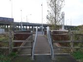
As seen from the bridge/path from Rainham Marshes.
As seen from the bridge/path from Rainham Marshes.
The path is used by National Cycle Network 13 and the London Loop (long distance path).
North Road cycle path, Purfleet (C) David Anstiss
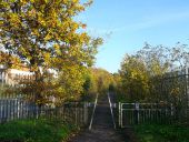
This cycle path leads from Purfleet towards Armor Road.
It is used by National Cycle Network 13 towards Thurrock.
This cycle path leads from Purfleet towards Armor Road.
It is used by National Cycle Network 13 towards Thurrock.
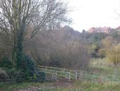
National Cyclepath near Mar Dyke (C) David Anstiss
As seen from Stifford Hill.
As seen from Stifford Hill.
National Cycle Route 13 leads towards Ship Lane, near Thurrock, along the river.
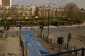
Cyclepath to Beckton (C) David Anstiss
This path leads from Gateway Retail Park, parallel to Royal Docks Road to Windsor Terrace.
This path leads from Gateway Retail Park, parallel to Royal Docks Road to Windsor Terrace.
Cycle Super highway 3 near Beckton (C) David Anstiss
Cycle Super Highway 3 leads from Tower Gateway beside the A13 dual carriageway towards Barking. At this junction, it picks up National Cycle Route 13 (from Beckton).
Cycle Super Highway 3 leads from Tower Gateway beside the A13 dual carriageway towards Barking. At this junction, it picks up National Cycle Route 13 (from Beckton).
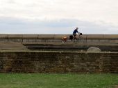
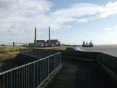
Cyclist on the sea wall (C) Stephen Craven
A touring cyclist with a trailer following the sea wall alongside Tilbury Fort, whose original outer wall can be seen in the foreground.
A touring cyclist with a trailer following the sea wall alongside Tilbury Fort, whose original outer wall can be seen in the foreground.
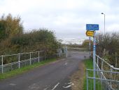
National Cycle Route 13 meets... (C) David Anstiss
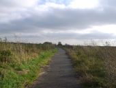
This cyclepath leads from Rainham Railway Station through the marshes towards the access road to a landfill site. The cyclepath then leads down to the River Thames to head towards Aveley Marshes and Purfleet.
This cyclepath leads from Rainham Railway Station through the marshes towards the access road to a landfill site. The cyclepath then leads down to the River Thames to head towards Aveley Marshes and Purfleet.
Hidden categories:
