Gallery:NCN235
From Roader's Digest: The SABRE Wiki
Jump to navigation
Jump to search
National Cycle Network > NCN235
This gallery has no child categories
NCN235
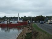
B3395 passing Bembridge Harbour (C) David Smith
There are numerous houseboats moored in the harbour, and light industry on the opposite side of the road.
There are numerous houseboats moored in the harbour, and light industry on the opposite side of the road.
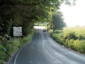
Lay-by on B3395 (C) David Smith
The lay-by provides access to the footpath, which starts by the gate and leads to Bembridge Down. The road sign is to prevent cars attempting to turn round on this winding road.
The lay-by provides access to the footpath, which starts by the gate and leads to Bembridge Down. The road sign is to prevent cars attempting to turn round on this winding road.
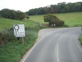
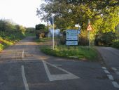
Adgestone Quiet Road (C) Shaun Ferguson
Adgestone Quiet Road the Upper Adgestone Road whilst the Lower Adgestone Road acts as the main road disappearing to the right
Adgestone Quiet Road the Upper Adgestone Road whilst the Lower Adgestone Road acts as the main road disappearing to the right
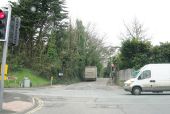
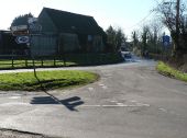
Havenstreet- road junction (C) Chris Downer
The junction to the north of the village, with the road to Ryde left of picture and <a href='http://www.geograph.org.uk/photo/683999'>SZ5690 : Havenstreet: Firestone Copse Road</a> to the right. The Isle of Wight cycleway route is denoted by signs depicting a cycle within an Isle of Wight-shaped patch.
The junction to the north of the village, with the road to Ryde left of picture and <a href='http://www.geograph.org.uk/photo/683999'>SZ5690 : Havenstreet: Firestone Copse Road</a> to the right. The Isle of Wight cycleway route is denoted by signs depicting a cycle within an Isle of Wight-shaped patch.
Hidden categories:
