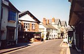
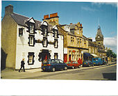
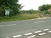
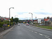
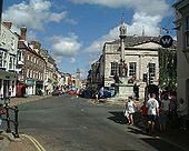
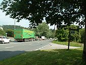
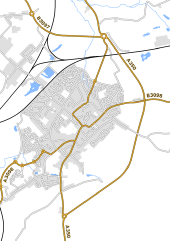
The A39 passing along the narrow High Street in Porlock.
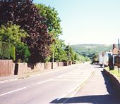
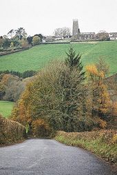
The A39 bypassing the village of Holford.
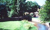
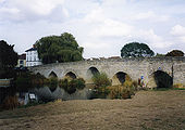
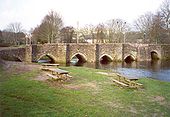
The old Packhorse Bridge on Cannington Green.
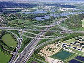
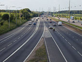
M25 junction 12 intersection with M3
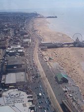
Blackpool Golden mile from above
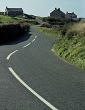
B3306 approaching Rosemergy
A41 No Mans Heath Bypass
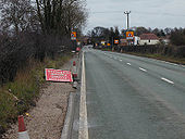
Looking south into the village. The road is now severed at this point and its no longer possible to travel through the village via the ex A41. Picture taken 11 Mar 2001.
Originally uploaded to Coppermine on Apr 25, 2006 by Truvelo A41 No Mans Heath Bypass
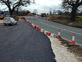
Looking north where the new alignment will cut through the old. Picture taken 11 Mar 2001.
Originally uploaded to Coppermine on Apr 25, 2006 by Truvelo A30(T) to A303(T)
Looking from the local turn across the A30 to the area behind the rubble mound. Kerbs still in place. Access to the new A303 is via the old, which is now the w/bnd slip. To Basingstoke via the old then, under the new and along another bit of old A30 as the e/bnd slip. A Porsche shot past seconds after this pic going east. I followed and on reaching a T junction, he had buried it in a tree opposite and was already out and on his mobile, unharmed but, trying to look cool. Snigger.
Originally uploaded to Coppermine on Jul 18, 2007 by SteveA30 Chulmleigh: view of church
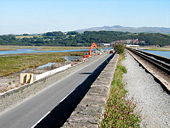
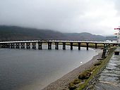
Penmaenpool Toll Bridge
Provides a very worthwhile short cut for anyone wishing to traverse the Mawddach Estuary. The old railway semaphore signal on the right commemorates the Ruabon to Barmouth Junction railway which ran alongside the estuary here but is now a cycle/walking path.
Norman Road, Smethwick 2001
This is a generously wide suburban road.
Originally uploaded to Coppermine on May 20, 2007 by Truvelo A9 Stirling
Ancient concrete columns with top entry lanterns and some modern steel columns with Alpha 4's. Ancient fuel prices too.
Originally uploaded to Coppermine on Feb 21, 2008 by Truvelo Newport - Isle of Wight
A bustling shopping and commercial town.
Tudor Bridge, Lostwithiel
First built by the Normans, and rebuilt in stone in the early 14C. Five pointed arches and one round one, on the right, made necessary as the river changed its course. Apparently there were also four arches to the west, now buried under North Street.
Wilford Bridge Melton
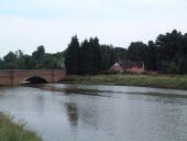
Taken from the river bank at Melton which is the end to navigational water on the River Deben.
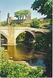
Tees Bridge, Barnard Castle
Above the bridge is Barnard Castle itself, and its round Tower. The Norman castle dates from ca 1150, first built by the Balliols.
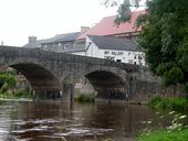
Bridge over the River Wye, Builth Wells
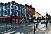
Lower Castle Street / The Mall, Tralee
Ballanard Road, Douglas (C) Phil Harrison
Looking Westwards towards Abbeylands
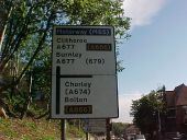
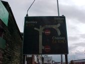
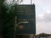
An historical botched sign on the A677. This route was originally non-primary until 1990 when Barbara Castle Way was constructed, and this sign predates that work.
'Mr Floppy' type sign, removed in 2001. This junction was built in 1970 in anticipation of the Blackburn Inner Relief Road and M65.
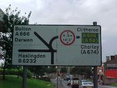
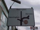
Another historic botched sign, this one also removed. It doesn't show primary status for the A666 towards Bolton, nor did it acknowledge the renumbering of the B6232 to then A6177 (now A6077). The bridge height is also 14'6'.
This was, at the time, the start (or end!) of the non-primary A679.
A map sign from the 1970s, now removed.
The complimenting local direction sign at the former start of the A679 and B6232. This has now been removed.
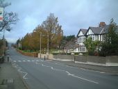
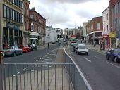
The former A666 on Church Street in Blackburn a week before its closure in May 2001.
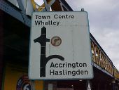
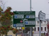
The original direction sign at Cardwell Place in 2001.
A long since removed ADS at Towns Moor in Blackburn, dating to 1970.
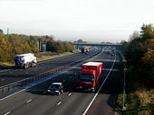
The M4 motorway from Leigh Delamere services
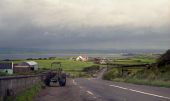
N15 at Rathcormack, Co. Sligo (2001)
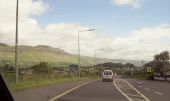
N67 heading north, County Clare
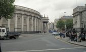
Parliament Building, Dublin
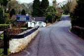
R754 at the north end of Avoca
City Road Roundabout! This is the junction of the A500 and the A5007 in Stoke. It has since been completely rebuilt. In the distance can be seen St. Peter's Church and further to the right, Stoke Civic Centre.
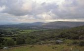
Ring of Kerry - Moll's Gap view from R568 near N71
The lower level of the GSJ at the centre of Brasilia, the capital of Brazil. This is where the east west Eixo Monumental meets the north-south Eixo Rodoviario de Brasilia. Taken on the first Sunday in 2001 when the road was closed to traffic.
Ryton Island taken in 2001 prior to it becoming a roundabout.
1978
This road was bypassed in May 1978 so, the improvement only saw around 10-12 years use.
Originally uploaded to Coppermine on Aug 02, 2007 by SteveA30 Near Plompton Rocks. View North along old B6163, now closed to traffic.
A combined view of Cheerbrook Roundabout before and after the installation of the Hough-Shavington by-pass A500 dual carriageway. The foliage on the later shot unfortunately blocks the view of the old re-routed road, and the incoming road from the right. This is looking south.
