Gallery:Pictures from 2013
From Roader's Digest: The SABRE Wiki
Jump to navigation
Jump to search
Pictures by year > Pictures from 2013
This gallery has no child categories
Pictures from 2013
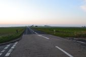
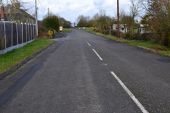
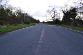
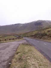
This was the old route of the A350 between Westbury and Warminster..Upton Scudamore was bypassed in 1988/9 .This shot is looking south towards Warminster..
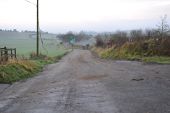
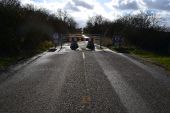
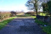
Walking a bit further on and there's a locked gate This being the old route of the A350 looking towards Warminster.The new route is to the right and the old rejoins itself on the left in the distance. Note the old Bus stop pull in on the right
A360 at the Woodford cross roads.Over the years this cross roads has had more than its fair share of traffic accidents and its probably the most dangerous part of the A360
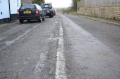
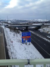
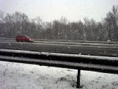
After 6 inches of snow fell yesterday, a decidedly snowy scene came upon this lane in Droitwich Spa.
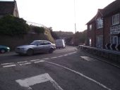
Looking south towards the Lavingtons on the A360 at Potterne.This being the dogleg bend opposite the church..
Looking towards Trowbridge on what was the old A350 heading up from Semington in Wiltshire.
This old road became Abandoned around 2001 when the new A350 bypass opened taking traffic away to the east of Semington towards Melksham...
Looking towards Trowbridge on what was the old A350 heading up from Semington in Wiltshire.
This old road became Abandoned around 2001 when the new A350 bypass opened taking traffic away to the east of Semington towards Melksham...
Now a Ghost road
Old A350 heading towards Melksham only used by Buses and the Emergency services a shadow of its former days as a busy through road....
1960s upgrade resulted in this the former A361 becoming abandoned from Semington towards Devizes.
The newer route came in to the village from the south and meat the A350 on a Roundabout.
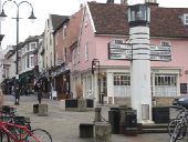
Today the roundabout is not needed but still there and the A350 bypasses and meats the A361 on a newer roudabout out sid Semington..'Pillar of Salt' direction sign, Angel Hill, Bury Saint Edmunds, Suffolk. Thought to be the first internally illuminated road sign in the country. Designed by Basil Oliver, 1935.
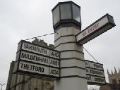
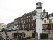
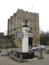
'Pillar of Salt' direction sign, Angel Hill, Bury Saint Edmunds, Suffolk. Thought to be the first internally illuminated road sign in the country. Designed by Basil Oliver, 1935.
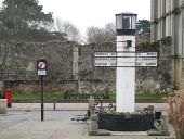
'Pillar of Salt' direction sign, Angel Hill, Bury Saint Edmunds, Suffolk. Thought to be the first internally illuminated road sign in the country. Designed by Basil Oliver, 1935.
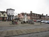
'Pillar of Salt' direction sign, Angel Hill, Bury Saint Edmunds, Suffolk. Thought to be the first internally illuminated road sign in the country. Designed by Basil Oliver, 1935.
'Pillar of Salt' direction sign, Angel Hill, Bury Saint Edmunds, Suffolk. Thought to be the first internally illuminated road sign in the country. Designed by Basil Oliver, 1935.
'Pillar of Salt' direction sign, Angel Hill, Bury Saint Edmunds, Suffolk. Thought to be the first internally illuminated road sign in the country. Designed by Basil Oliver, 1935.
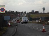
The start of the infamous section of the A601(M).
Page 1, 48 file(s) of 1846 shown
Page 1 2 3 4 5 6 7 8 9 10 11 12 13 14 15 16 17 18 19 20 21 22 23 24 25 26 27 28 29 30 31 32 33 34 35 36 37 38 39
Hidden categories:
