Gallery:Pictures from 2018

From Roader's Digest: The SABRE Wiki
Jump to navigation Jump to search
Pictures by year > Pictures from 2018


This gallery has no child categories
Pictures from 2018
 
 
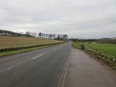
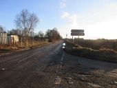
A932 looking westbound.jpg
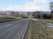
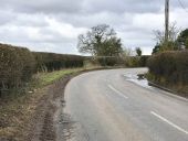
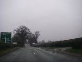
A straight on the A932 south of Rescobie Loch heading westwards towards Forfar.
IMG 20180130 100513.jpg
Standard parking sign. All public parking is free and you use a paper disc on the dash to indicate when you parked.
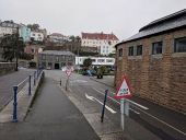
IMG 20180130 100941.jpg
Filter junction with signage in St Peter Port
Winter in Illinois.jpg
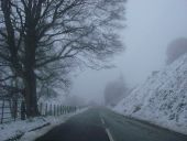
US-41 in northern Illinois taken on a snowy day
IMG 20180202 153304.jpg
Photo of the sign and bus stop in Castletown on the A836
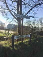
Sign.jpeg
Pre-Worboys sign in rural County Antrim, still standing in February 2018. On the unclassified Killygore Road between Broughshane and Martinstown.
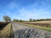
Swaffham Heath Road near Middle Hill - Geograph - 5689995.jpg
Swaffham Heath Road near Middle Hill The well-established ivy-covered trees are Middle Hill Plantations.
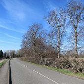
Bottisham- tall parkland trees - Geograph - 5689901.jpg
Bottisham- tall parkland trees The road from Swaffham Bulbeck to Bottisham (ahead) skirts the parkland round Bottisham Hall.
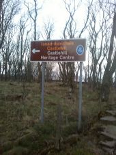
IMG 20180220 172728.jpg
Photo of one of the brown tourist destination signs just outside of Castletown on the A836.
Black Bank Road.jpg
The 'new' road down Black Bank between Alsagers Bank and Newcastle-under-Lyme.
New houses in Halmer End.jpg
New houses in Halmer End.
Milehouse roundabout.jpg
Milehouse roundabout
A1 heading north.jpg
Traffic on the A1 hurtles over Wentbridge Viaduct
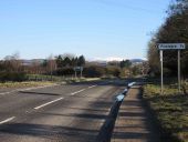
A94 west of Glamis.jpg
The A94 to the west of Glamis heading downhill to the bend at the Newton of Glamis, the snow covered Grampians in the distance.
20180308-0947 - Upper Avenue Roundabout, Eastbourne.jpg
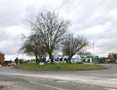
Upper Avenue Roundabout, Eastbourne
20180206-2259 - Carlisle 119 fingerpost, Stockport.jpg
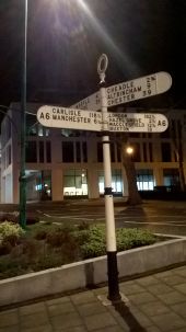
Carlisle 119 fingerpost, Stockport
20180206-2248 - London 182.5 fingerpost, Stockport.jpg
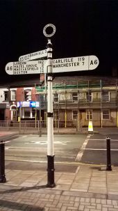
London 182.5 fingerpost, Stockport
20180206-1924 - Stockport viaduct 3.jpg
Stockport viaduct over M60
20180117-0808 - Cleveland Street Roundabout, Doncaster.jpg
Cleveland Street Roundabout, Doncaster
Shraleybrook Road - Geograph - 5709810.jpg
Shraleybrook Road
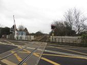
Level crossing, Christon Bank - Geograph - 5690252.jpg
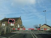
Level crossing, Christon Bank
Push button unit in Thurso.jpeg
Traffic signals at the road from helmsdale princess street to the A9.
Traffic signals in Thurso.jpg
Traffic signals at Thurso at Tesco on the A9.
Abandoned A513.jpg
Abandoned stretch of A513 as it approaches the canal at Armitage. The spacing of the catseyes suggests there were double white lines here.
Mineral railway level crossing, Seghill - Geograph - 5652187.jpg
Mineral railway level crossing, Seghill The mineral railway connecting Blyth and Lynemouth to the East Coast Mainline passing through Seghill.
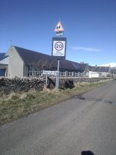
School 20mph sign at Castletown primary.jpeg
20MPH speed limit flashing school sign in Castletown.
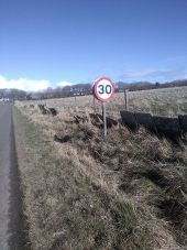
30mph sign at the entrance to Castletown.jpg
30mph sign at Castletown just before Castletown primary.
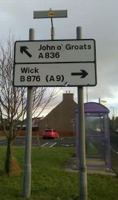
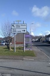
Advanced directional Road sign on A836.jpg
Advanced directional road sign in Castletown featuring A836 and a bus stop. Shows A836 to John O Groats and B876 to Wick.
IMG 20180403 102152 (low res).jpg
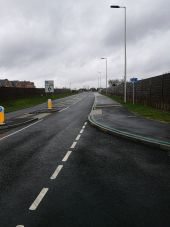
A327 Shinfield Eastern Bypass, looking north from Cutbush Lane
IMG 20180403 102156 (low res).jpg
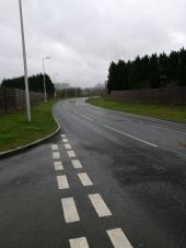
A327 Shinfield Eastern Bypass, looking south from Cutbush Lane
IMG 20180403 102140 (low res).jpg
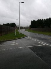
A327 Shinfield Eastern Bypass, looking south from Cutbush Lane
20180403-1918 - Roundabout widening, Austhorpe Interchange.jpg
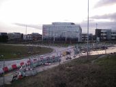
Roundabout Widening, Austhorpe Interchange, Thorpe Park This is looking south from the northbound M1 on-slip embankment
20180403-1917 - Northbound M1 on slip at Austhorpe.jpg
Northbound M1 on slip at Austhorpe
20180403-1928 - M1 northbound, Austhorpe.jpg
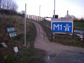
M1 northbound at Austhorpe
20180403-1950 - Manston Lane improvements.jpg
Manston Lane improvements, looking towards the Manston Lane Roundabout on the East Leeds Orbital Road
20180403-1931 - View of ELOR railway Crossing from Crawshaw Woods Bridge.jpg
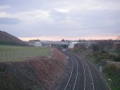
View of ELOR railway crossing from Crawshaw Woods Bridge
20180403-1945 - Site of Manston Lane Roundabout Panoramic - resized.jpg
Site of Manston Lane Roundabout
New A14 construction - Section 3 Logistics Yard - Geograph - 5678724.jpg
New A14 construction - Section 3 Logistics Yard Viewed from a new roundabout on the A1198.
Bridge building on the A14 - Geograph - 5683197.jpg
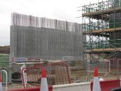
Bridge building on the A14 A new bridge under construction at the Swavesey Junction that gives access to the Cambridge Services and Buckingway Business Park.
Road Works at Bar Hill - Geograph - 5680042.jpg
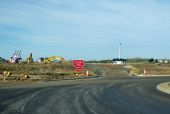
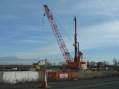
Road Works at Bar Hill Excavator and crane/pile driver by the A14 - part of the extensive works to rebuild and expand the road.
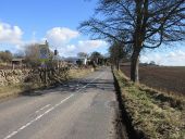
A926 near Westmuir.jpg
The A926 heading to Kirriemuir just west of the village of Westmuir at the Egnomoss/Auchindorie crossroads.
A926 at Airlie.jpg
The A926 heading eastbound at the small village of Airlie.
A928 south of Roundyhill.jpg
The A928 halfway between Glamis and Kirriemuir, south of the hamlet of Roundyhill.
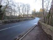
B966 at Gannochy Bridge.jpg
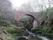
The much strengthened bridge at Gannochy that carries the road over the River North Esk a mile north of Edzell.
Gannochy Bridge.jpg
The bridge at Gannochy viewed from the north on the Aberdeenshire side of the River North Esk, showing the size of the ravine that the B966 has to cross.
20180402-1204 - Oakmere Crossroads.jpg
Oakmere Crossroads ADS
20180402-1040 - Horseshoe Pass 2 53.0131616N 3.215979W.jpg
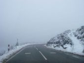
Horseshoe Pass heading towards Llangollen in the snow
20180402-1041 - Horseshoe Pass 3 53.0110386N 3.2139969W.jpg
Horseshoe Pass in the snow - footpaths to the left (down) and right (up)
 
 
Page 1, 48 file(s) of 1404 shown
Page 1 2 3 4 5 6 7 8 9 10 11 12 13 14 15 16 17 18 19 20 21 22 23 24 25 26 27 28 29 30

SABRE - The Society for All British and Irish Road Enthusiasts
Discuss - Digest - Discover - Help