Gallery:Pictures from the 1950s
From Roader's Digest: The SABRE Wiki
Jump to navigation
Jump to search
Pictures by year > Pictures from the 1950s
This gallery has no child categories
Pictures from the 1950s
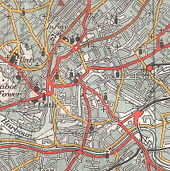
Bristol city centre, 1953, from Ordnance Survey one-inch series sheet 156, published in 1953. See http://www.sabre-roads.org.uk/wiki/index.php?title=Image:Bristol_City_Centre%2C_1953%2C_annotated.jpg for annotated version.
M1 opening cutting - Cutting from 'Herts Advertiser and St Albans Times' M1 opening supplement dated 30 October 1959. Uploaded by Ianreigate
M1 opening map#1 - Map from 'Herts Advertiser and St Albans Times' M1 opening supplement dated 30 October 1959. Uploaded by Ianreigate
M1 opening map#2 - Map from 'Herts Advertiser and St Albans Times' M1 opening supplement dated 30 October 1959. Uploaded by Ianreigate
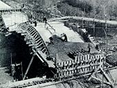
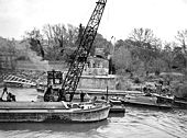
M1 Ouse Viaduct - Construction of the M1 Ouse Viaduct in 1958/9. Uploaded by M4simon
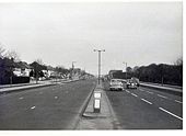
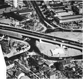
Chsiwick Flyover. Circa 1959 without M4
Originally uploaded to Coppermine on Sep 12, 2007 by Brenley Corner
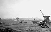
M1 Motorway under construction
Northward from bridge of B579 near Chalton, during early stages of construction -- all very exciting at the time, although this was a Sunday. Note Sundon Brickworks over to right; cf. my <a href='http://www.geograph.org.uk/photo/1725911'>TL0325 : M1 Motorway under construction</a>.
Northward from bridge of B579 near Chalton, during early stages of construction -- all very exciting at the time, although this was a Sunday. Note Sundon Brickworks over to right; cf. my <a href='http://www.geograph.org.uk/photo/1725911'>TL0325 : M1 Motorway under construction</a>.
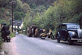
Mishap on Porlock Hill, Somerset
At its steepest part this notorious hill rises to 1 in 4. Shortly before the truck overturned it was seen to be sliding with all wheels locked !
Apparently, the driver then deliberately put his wheels up the steep verge.
At its steepest part this notorious hill rises to 1 in 4. Shortly before the truck overturned it was seen to be sliding with all wheels locked !
Apparently, the driver then deliberately put his wheels up the steep verge.
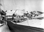
Barmoor Clough - 1959
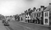
Just a simple junction in those days. The road downhill and bearing left is the A6 to Chapel en le Frith, being joined by the A623 from Sparrowpit. Now the junction is a roundabout, none of the buildings on the far side of the junction now exist. At the time of the photo this road was not the A6, but the A624. The A6 main road from Buxton to Whaley Bridge was then routed to the west over Longhill.
Just a simple junction in those days. The road downhill and bearing left is the A6 to Chapel en le Frith, being joined by the A623 from Sparrowpit. Now the junction is a roundabout, none of the buildings on the far side of the junction now exist. At the time of the photo this road was not the A6, but the A624. The A6 main road from Buxton to Whaley Bridge was then routed to the west over Longhill.
Great North Way Lamp Posts
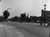
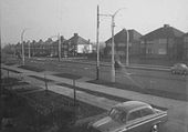
Photo showing new concrete lamp posts being installed on the A1 Great North Way in Hendon, North London in 1955.
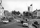
Originally uploaded to Coppermine on Jun 21, 2006 by PeterA5145Saint Giles, Cripplegate (C) David Wright
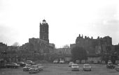
Photo taken c1958. The bomb site in the foreground is being used as a temporary car park. For a recent view taken from this site see <a href='http://www.geograph.org.uk/photo/559771'>TQ3281 : City parish churches: St. Giles Cripplegate</a>.
Photo taken c1958. The bomb site in the foreground is being used as a temporary car park. For a recent view taken from this site see <a href='http://www.geograph.org.uk/photo/559771'>TQ3281 : City parish churches: St. Giles Cripplegate</a>.
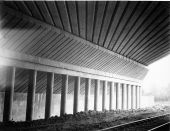
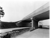
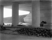
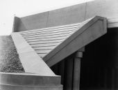
St. Albans bypass - Bridge 14 - Redbour Railway Bridge showing cantilever and centre-span beam
Bears a striking similarity to this...
St. Alband bypass - Bridge 20 - Beechtree flyover junction carrying northbound carriageway from Park Street over Watford leg
St. Albans bypass - Bridge 18 - Breakspears Junction Overbridge from east carriageway. Heap of 'cat's eyes' in foreground
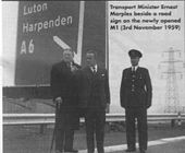
Marples opens M1 - From M1 opening day, 3rd November 1959, at junction 9. Uploaded by M4simon
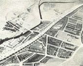
A 1959 model of what would become the Oldbury Link of the M5. Taken from Concrete Quarterly Spring 1959.
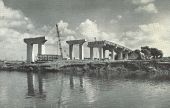
Construction of the Barton High Level Bridge in Spring 1959 of the Stretford-Eccles Motorway, which became the M63, then the M60.
Taken from Concrete Quarterly Spring 1959.
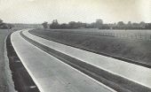
Model of the Hammersmith Flyover for the South Wales Motorway in spring 1959.
From Concrete Quarterly Spring 1959.
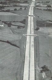
St Alban's Bypass in spring 1959. Taken from Concrete Quarterly Spring 1959. Probably looking north, about one mile north of Berrygrove.
Note the two-lane width of the concrete road.
Page 1, 48 file(s) of 66 shown
Hidden categories:

