Gallery:Pictures from the 1970s

From Roader's Digest: The SABRE Wiki
Jump to navigation Jump to search
Pictures by year > Pictures from the 1970s


This gallery has no child categories
Pictures from the 1970s
 
 
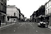
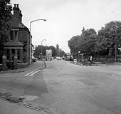
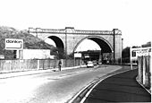
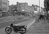
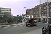
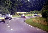
Town centre, early 1970s.jpg
High Street just after pedestrianisation
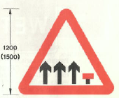
Lane ends.png
1975 Reduction in available traffic lanes ahead (may be varied to reflect accurate lane layout)
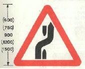
Change carr.png
1975 contraflow, switch to opposite carriageway (may be reversed)
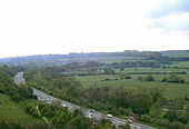
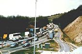
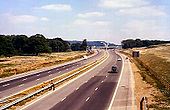
Winchester Bypass.JPG
A33 Winchester Bypass 1976
OP Marky G
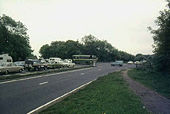
Hockley Lights 1976.JPG
A33 Hockley Lights Winchester 1976
OP Marky G
Hockley Lights.JPG
A33 Hockley Lights Winchester 1976 2
OP Marky G
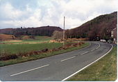
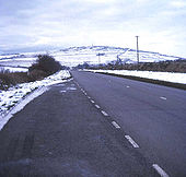
View along the main road north from Tre'r ddôl.jpg
View along the main road north from Tre'r ddôl
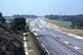
The A3(M) under construction - Geograph - 1002030.jpg
The A3(M) under construction
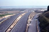
Construction of the A3(M) - Geograph - 1002012.jpg
Construction of the A3(M)
M6 Junction 1977 - Geograph - 704121.jpg
M61/M6 Junction 1977
The inspiration for the Pelican crossing - Geograph - 1107994.jpg
The inspiration for the Pelican crossing
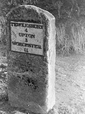
Milestone at Stratford - Geograph - 1284756.jpg
Milestone at Stratford
Ashford, Kent - Geograph - 1158617.jpg
Ashford, Kent
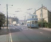
Bradford Trolleybus at Saltaire Terminus - Geograph - 1398546.jpg
Bradford Trolleybus at Saltaire Terminus
Holly Hall - Geograph - 1117923.jpg
Holly Hall
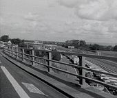
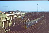
Bescot junction and M6 in 1977 - Geograph - 810614.jpg
Bescot junction and M6 in 1977
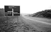
Road sign near Dromore - Geograph - 1648390.jpg
Road sign near Dromore
Lissue level crossing near Lisburn - Geograph - 1648214.jpg
Lissue level crossing near Lisburn
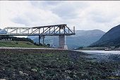
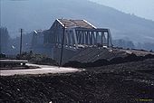
A82 Ballachulish Br 1974 - Coppermine - 12828.jpg
A82 Ballachulish Bridge under construction in 1974

From the north shore, with the Ballachulish Ferry below

Originally uploaded to Coppermine on Jun 14, 2007 by J--M--B
A82 Ballachulish Br 1975 - Coppermine - 12827.jpg
A82 Ballachulish Bridge under construction in 1975

With Old Ferry Road, the former A828 spur, in the foreground as we look south.

Originally uploaded to Coppermine on Jun 14, 2007 by J--M--B
The M25-M23 junction shown in 1976 - Coppermine - 2239.jpg
The M25-M23 junction shown in 1976

Facing east towards Merstham I/Change from a pedestrian overbridge, the former lighting and signage is visible

Originally uploaded to Coppermine on May 15, 2005 by Brenley Corner
Sliproad onto M4 from Jcn 21 (1974) - Coppermine - 15382.jpg
Sliproad onto M4 from Jcn 21 (1974)

Looking west towards severn bridge.

Originally uploaded to Coppermine on Sep 25, 2007 by AAndy
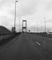
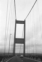
M4 Severn Bridge (1974) - Coppermine - 15379.jpg
M4 Severn Bridge (1974)

Just out of the toll booths heading west

Originally uploaded to Coppermine on Sep 25, 2007 by AAndy
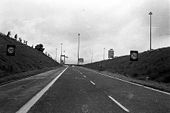
M4 Severn Bridge (1974) - Coppermine - 15378.jpg
M4 Severn Bridge (1974)

Looking West towards Jcn22. Note the 'no lorry overtaking' sign by pillar

Originally uploaded to Coppermine on Sep 25, 2007 by AAndy
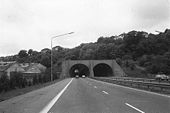
M4 Brynglais Tunnels - 1974 - Coppermine - 15377.jpg
M4 Brynglas Tunnels - 1974

Taken heading west. Newport Tunnels

Originally uploaded to Coppermine on Sep 25, 2007 by AAndy
The A390 at Sevenstones - Geograph - 674254.jpg
The A390 at Sevenstones
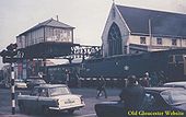
Gloucester Barton gates junc-pre 1975! - Coppermine - 318.jpg
Gloucester Barton gates junc-pre 1975!

Gloucester Barton gates junc-pre 1975!

Originally uploaded to Coppermine on Apr 05, 2005 by M4Simon
Approaching Horns Bridge on A61 - Geograph - 605192.jpg
Approaching Horns Bridge on A61
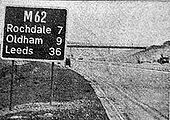
M62 route confirmation sign (1971) - Coppermine - 12670.jpg
M62 route confirmation sign (1971) Originally uploaded to Coppermine on Jun 11, 2007 by A42_Sparks
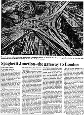
M6, May 1972 - Coppermine - 19720.jpg
M6, May 1972

Progress in leaps and bounds now, in the 70-72 period. The M6 reaches the M1 at last, via Ravioli Junction. No, hang on.....

Originally uploaded to Coppermine on Aug 21, 2008 by SteveA30
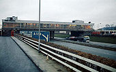
M6 Knutsford Services - Coppermine - 1301.JPG
M6 Knutsford Services

Circa 1973. Note the 'wonky' sign!

OP David--B on 7/3/2004

Originally uploaded to Coppermine on Apr 22, 2005 by M4Simon
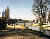
Reading Bridge, River Thames - Geograph - 482247.jpg
Reading Bridge, River Thames
Itchen Bridge under construction - Geograph - 1479998.jpg
Itchen Bridge under construction
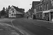
Church Street, Tewkesbury - Geograph - 1576408.jpg
Church Street, Tewkesbury
The Cross, Tewkesbury - Geograph - 1576376.jpg
The Cross, Tewkesbury
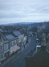
High Street Winchcombe in 1973 - Geograph - 754565.jpg
High Street Winchcombe in 1973. The road was the A46 at the time, now the B4632
A55 - Britannia Bridge - Coppermine - 18605.jpg
A55 - Britannia Bridge

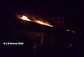
Britannia Bridge fire and reconstruction afterwards

Originally uploaded to Coppermine on Jun 16, 2008 by J--M--B
A33, 1979 - Coppermine - 9912.jpg
A33, 1979

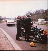
The only pic I took of the A33 between Winchester & Southampton. Easter 1979, looking south, somewhere near where J12 now is. Opened 1967, upgraded to M3, 1992. Unfriendly policemen check our documents. The one 2nd left did get done for something or other.

Originally uploaded to Coppermine on Jan 21, 2007 by SteveA30
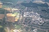
Aerial view towards Cressex - Geograph - 987696.jpg
Aerial view towards Cressex
Whitchurch Bridge, River Thames - Geograph - 509397.jpg
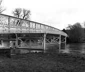
Whitchurch Bridge, River Thames
The River Thames was fordable at this pint for many years, but after the construction of a pound lock in 1787 this was no longer the case, and the first bridge was built by private subscription, opening in 1793. It was replaced in 1852 after it failed, and again by the present iron structure in 1901. It remains as one of only two toll bridges over the non-tidal Thames, and, wisely, money from the tolls is set aside each year for possible rebuilding when needed.
Reading West Station, 1979 - Geograph - 1438114.jpg
Reading West Station, 1979
In 1979 the railway bridge still carried the old Great Western Railway name board.
The nearest I have been able to get to a modern view at this point are <a href='http://www.geograph.org.uk/photo/609182'>SU7073 : Reading West bridge</a> <a href='http://www.geograph.org.uk/photo/609180'>SU7073 : Oxford Road</a>.
Kings Road, 1979 - Geograph - 1438111.jpg
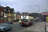
Kings Road, 1979
The Huntley and Palmers office block has been demolished and the site is currently occupied by The Prudential <a href='http://www.geograph.org.uk/photo/633458'>SU7273 : King's Road, Reading</a>.
Service 100 was a special service which ran for 3 days to celebrate 100 years of 'The Main Line', running then as today between Oxford Road and Wokingham Road. Originally operating as a horse tramway between the Barracks and Cemetery Junction, it was operated successively by electric trams, trolleybuses - which saw the extension the route to Tilehust in the west and Three Tuns in the east in the 1930s - and finally motorbuses, which even today run to the same terminal points as the trolleybuses.
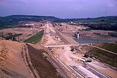
Scammonden Dam under Construction - Geograph - 700342.jpg
Scammonden Dam under Construction
The photograph was taken in August 1970, probably on a Sunday afternoon, which explains why there is little activity on the site. The picture dramatically shows the extent of the M62 construction corridor.
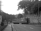
Crossing the road - Geograph - 1350167.jpg
Crossing the road
Snaefell Mountain Railway car No 5 crosses the main road preparatory to entering service from Laxey station
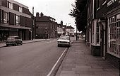
Billericay High Street 1972 - Geograph - 247154.jpg
Billericay High Street 1972
The A326 Marchwood Bypass - Geograph - 886700.jpg
The A326 Marchwood Bypass
Travelling towards Hythe. At least 4 out of the 5 cars in the view are British!


N.B. I believe this picture to be correctly located but would welcome any alternative suggestion.
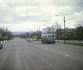
Bradford Trolleybus nearing Thornton - Geograph - 1299453.jpg
Bradford Trolleybus nearing Thornton
Karrier W trolleybus 703 (DKY 703) on a last day tour on the wide B6145 (Thornton Road) going westwards towards the Springhead Road turning (Route 6).
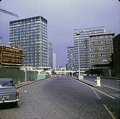
London Wall - Geograph - 1020813.jpg
London Wall
Looking east on a quiet day. The car looks like an Austin Cambridge.
 
 
Page 1, 48 file(s) of 364 shown
Page 1 2 3 4 5 6 7 8

SABRE - The Society for All British and Irish Road Enthusiasts
Discuss - Digest - Discover - Help