Gallery:R689

From Roader's Digest: The SABRE Wiki
Jump to navigation Jump to search
R600-R699 > R689


This gallery has no child categories
R689
 
 
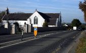
Lisronagh, County Tipperary - Geograph - 1829944.jpg
Lisronagh, County Tipperary On the R689.
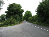
The R689 heading for Gortnahoo - Geograph - 4089132.jpg
The R689 heading for Gortnahoo The L22012 goes off to the left.
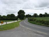
The R689 north of Glencoole - Geograph - 4089174.jpg
The R689 north of Glencoole I found the Irish 'Yellow on Grey' (or sometimes 'Yellow on Black') chevrons much more conspicuous than the UK standard 'Black on White'. On the other hand, their speed limit signs are easier to miss than ours. What a pity that countries are, apparently, not prepared to recognise when others have a better solution. (Another example: on the French Autoroutes, a junction sign warns you of the next junction as well, a very helpful alert.)
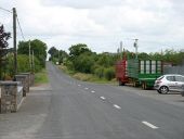
The R689 heading for Gortnahoo - Geograph - 4089192.jpg
The R689 heading for Gortnahoo
Urlingford, County Kilkenny - Geograph - 1828328.jpg
Urlingford, County Kilkenny Leaving Urlingford on the R698.
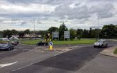
Fethard Road Roundabout.jpg
The roundabout on the N24, outside the station.
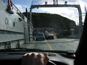
Disembarking car ferry in Ballyhack Co Wexford - Coppermine - 5611.JPG
Disembarking car ferry in Ballyhack Co Wexford

The ferry links county Waterford with County Wexford in about 5 mins. It's faster than driving through the traffic in Waterford City anyway!

Originally uploaded to Coppermine on Apr 23, 2006 by murphaph
 

SABRE - The Society for All British and Irish Road Enthusiasts
Discuss - Digest - Discover - Help