Gallery:Reading
The A4, London Road, climbs the hill out of Reading. The houses on either side are served by parallel roads. The site of Earley Power Station is on the right after the first group of houses.
Reading half marathon is apparently the third most popular half marathon in the country. It is usually run about a month before the London marathon so is a good training event for that one. The route in West Reading via Russell Street, Tilehurst Road, Liebenrood Road, Bath Road and Coley Avenue means that part of Reading is cut off whilst it is on, so the only thing to do is to go and watch.
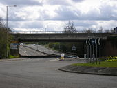
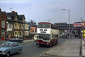
In 1979 the railway bridge still carried the old Great Western Railway name board.
The nearest I have been able to get to a modern view at this point are <a href='http://www.geograph.org.uk/photo/609182'>SU7073 : Reading West bridge</a> <a href='http://www.geograph.org.uk/photo/609180'>SU7073 : Oxford Road</a>.
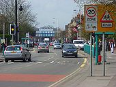
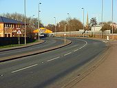
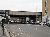
This major arterial route on the western side of town is somewhat cluttered with street furniture in the view towards the Reading West railway bridge.
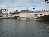
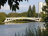
Showing the southern half of the bridge which consists of two symmetrical arches.
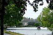
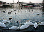
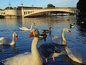
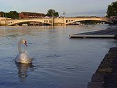
Looking downstream to Caversham Bridge. The scene looks tranquil on a summer's evening. However, the river was threateningly high following the rain that had fallen four days earlier. In this part of Reading the river did no worse than lap onto the towpath.
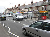
A brief quiet moment on the road as we look towards the centre of the town. The spire belongs to the church of St Giles, which is at the northern edge of the grid-square.
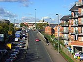
Queuing traffic as it reaches its junction with the Inner Distribution Road, the A329. This road has replaced Basingstoke Road, now the B3031, as the main route into the town from the south.
The Huntley and Palmers office block has been demolished and the site is currently occupied by The Prudential <a href='http://www.geograph.org.uk/photo/633458'>SU7273 : King's Road, Reading</a>.
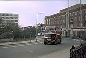
Service 100 was a special service which ran for 3 days to celebrate 100 years of 'The Main Line', running then as today between Oxford Road and Wokingham Road. Originally operating as a horse tramway between the Barracks and Cemetery Junction, it was operated successively by electric trams, trolleybuses - which saw the extension the route to Tilehust in the west and Three Tuns in the east in the 1930s - and finally motorbuses, which even today run to the same terminal points as the trolleybuses.
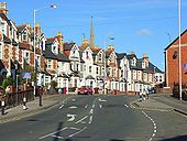
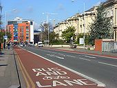
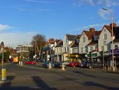
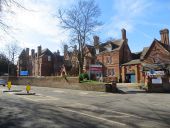
The bus lane makes for a speedy passage into the town centre for public transport users whilst private vehicles queue on London Road. The viewpoint is opposite the college. The colourful apartments are at the junction with Queen's Road.
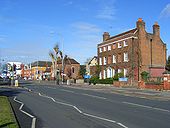
At the foot of Kendrick Road. The house on the right is Kendrick View and dates from the mid to late 18th century. It is now home to a dental practice.
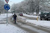
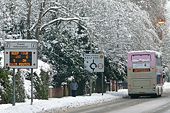
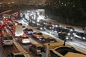
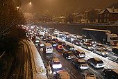
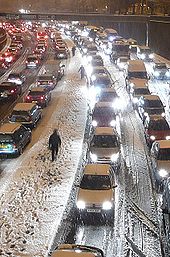
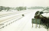
The snow seemed to particularly affect Northern Hampshire and Berkshire on this evening. This is the Inner Distribution Road, that is not distributing anything this evening. People I met later said they spent three hours travelling half an mile by car. Walking was definitely the best option.
The snow seemed to particularly affect Northern Hampshire and Berkshire on this evening. This is the Inner Distribution Road, that is not distributing anything this evening. People I met later said they spent three hours travelling half an mile by car.
The snow seemed to particularly affect Northern Hampshire and Berkshire on this evening. This is the Inner Distribution Road, that is not distributing anything this evening. People I met later said they spent three hours travelling half a mile by car. Walking was definitely the best option.
The traffic queueing up along the Caversham Road, most likely on its way to The Oracle shopping centre.
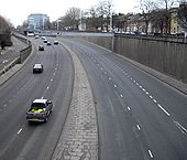
This is Reading's inner ring road, the IDR as it is usually known. It was built in 1970 and many houses were demolished to create it, as was the planning norm then. There have been various plans to break what is now a collar throttling the expansion of Reading town centre. To the left is the Chatham Place development, and one plan was to deck over this section to create an urban square, but the slip roads would have caused a problems. Another plan was to make the route one-way, giving extra space for cycles and pedestrians, but this has also been abandoned. To the right is Adelphi House, the Reading job centre. Mentioning this probably means I shall be emailed with lots of questions about employment now!
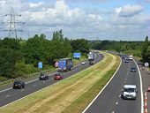
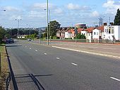
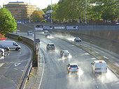
The sun comes out after rain highlighting spray on the dual carriageway south of the bridge on Oxford Road.
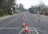
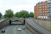
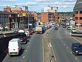
Looking down on this part of the 'Inner Distribution Road' from the Chatham Street/Friar Street roundabout. The traffic is being held up by the lights at the junction with Great Knollys Street, beyond which you can just make out the railway bridge.
Originally uploaded to Coppermine on Sep 02, 2007 by DavidB
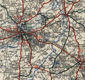
This page contains scans from a map that is believed may be out of copyright according to UK Crown Copyright, UK Copyright Law for other maps published in the United Kingdom, or Irish Government Copyright, is not being used to generate profit in this context, and presents information that cannot be exhibited otherwise.If the copyright holder considers this is an infringement of their rights, please contact the site management team to discuss further steps.
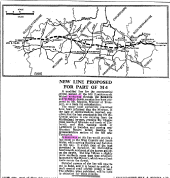
Article from The Times newspaper of 24/01/1963 showing the then proposed route of the M4 central section including a routing north of Reading
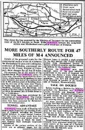
Originally uploaded to Coppermine on Apr 10, 2007 by DavidBArticle from The Times newspaper of 10/08/1965 showing various proposed routes of the M4 west of Maidenhead and reporting that the one running just south of Reading had been chosen.
Originally uploaded to Coppermine on Apr 10, 2007 by DavidBA simple way of removing three roundabouts on the A4 and replacing them with GSJ's. The main J12 roundabout has gone and all M4-A4 movements are freeflow. Immediately either side of J12 are two smaller roundabouts which have also gone. Because of the close proximity to J12 not all movements are available at these smaller GSJ's. The GSJ on the far left corner already has slips to the westbound carriageway and I've added a bridge to provide access to the eastbound carriageway which was lost by removing the roundabout to the west of J12. To the east of J12 a limited movement GSJ is provided to serve McDonalds and a retail park. The missing movements can be catered for by performing a U-turn at the roundabout on the right edge of the map.
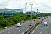
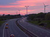
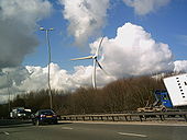
Originally uploaded to Coppermine on Mar 11, 2008 by TruveloView of the Wind Turbine from the M4 J11 W/B Entry Slip. The tower of the Courage Brewery can be seen to the right of the picture and the part of the Green Park Estate directly ahead.
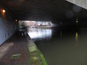
Originally uploaded to Coppermine on Nov 19, 2005 by M4MarkMoments before I took this picture it was full of pigeons who took affront at my appearance & flew off from the towpath along the Kennet in Reading
Never knew about it so will be on the list for a visit along Redlands Road in Reading
