Gallery:Regulatory Sign/No Motor Vehicles
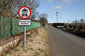
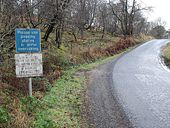
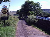
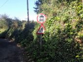
This road used to link Newstead with the A68 at Leaderfoot, but it was closed off to the A68 when the A6091 bypass road was constructed on the south side of the village. This is a popular walking route.
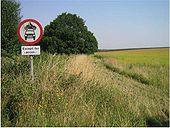
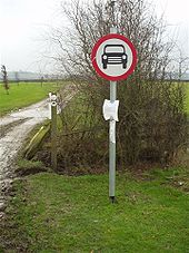
Spotted in a field in Norfolk, a long way away from any road
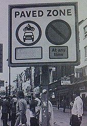
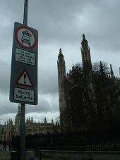
Originally uploaded to Coppermine on Apr 19, 2007 by PeterA5145Presumably in London, this sign is backlit and can show whether the No Motor Vehicles restriction is full or has an 'except for access' exemption.
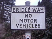
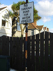
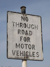
Originally uploaded to Coppermine on Dec 19, 2007 by Bryn666Old 'no through road' sign on stripey pole in Donaghadee, County Down
Originally uploaded to Coppermine on Jul 29, 2007 by exploNo motor cars sign at SP50236 65454 Sawbridge on the unclassified E road to Nethercote. Fixed to the post is the TRO prohibiting cars but allowing motor bikes hence the sign and a copy of the diversion map. The embankments have erosion hence the ban. Unclassified County Road small sign is fixed to the post in the background. 3 January 2008
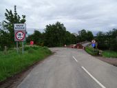
Originally uploaded to Coppermine on Jan 03, 2008 by leekmanLooking east from the entrance to Vindolanda fort
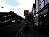
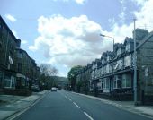
Originally uploaded to Coppermine on Apr 12, 2005 by t1(M)On Tuesdays, Amersham market closes most of Sycamore Road to motor vehicles. Folding signs at the closed sections are unfolded to close off the road.
Here is a wider view of the same sign. The roadworks are for water main replacement.
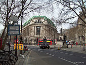
Located on the Strand, Aldwych, London looking towards Charing Cross.
Picture taken on: 3/4/09 10:45am
Originally uploaded to Coppermine on Apr 03, 2009 by MotorwayGuy<small>Traffic signs are Crown copyright. They are part of legislation (Traffic Signs Regulations and General Directions 2002, often referred to as TSRGD). The numbers in the image filenames relate to the TSRGD numbering.
You may reproduce traffic signs free of charge and without having to seek permission, but you must reproduce them accurately and not in a misleading context (e.g. not on roadside billboards where they could mislead drivers). You should also include a statement that these images are Crown copyright.
Please also read the fuller conditions for Open Government Licence. </small><small>Traffic signs are Crown copyright. They are part of legislation (Traffic Signs Regulations and General Directions 2002, often referred to as TSRGD). The numbers in the image filenames relate to the TSRGD numbering.
You may reproduce traffic signs free of charge and without having to seek permission, but you must reproduce them accurately and not in a misleading context (e.g. not on roadside billboards where they could mislead drivers). You should also include a statement that these images are Crown copyright.
Please also read the fuller conditions for Open Government Licence. </small>