Gallery:Regulatory Sign/No Stopping
From Roader's Digest: The SABRE Wiki
Jump to navigation
Jump to search
Regulatory Sign > Regulatory Sign/No Stopping
This gallery has no child categories
Regulatory Sign/No Stopping
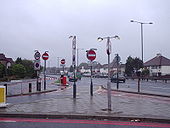
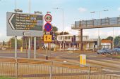
Forest of Signs
This is the junction of the Service Road running next to the A3 with South Lane, New Malden. This plethora of signs, including a bus gate featured in the New Scientist
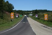
Originally uploaded to Coppermine on Apr 14, 2005 by t1(M)A683 Heysham-Lancaster Bypass, side road always National Speed Limit, no change. Odd signing though.
Hanger Lane Gyratory and LT Station, 1993 View NW to the entrance to the station (LT Central Line, West Ruislip branch), across the major - and infamous - gyratory intersection of the North Circular Road (A406) with the Western Avenue (A40). To the left is Hanger Lane, going southward to Ealing Common etc., Western Avenue goes from London to the right, and to the left to Greenford, Hillingdon and eventually merges with the M40 Motorway; across past the station the North Circular Road continues round north and east via Neasden, Brent, Finchley etc. The gyratory system here dates from about 1982.
Current layout of the Boot and Shoe Roundabout
Bank of daisies - On the south side of the reconfigured A63. Were they deliberately sown, or is it a bit of serendipity?
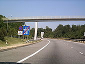
A404(M) Maidenhead
hmmmmmm end of the motorway already
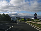
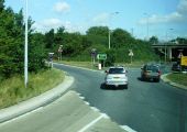
Originally uploaded to Coppermine on Jul 22, 2006 by andy31mApproach road to the A3 This is the approach to the northbound A3 at Woolmer Down. The red flag is flying at the MoD training area.
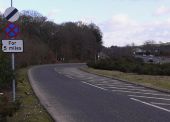
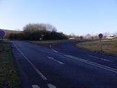
Junction of A and B roads near Buriton The B2070, which used to be the A3, joins with the new A3 here.
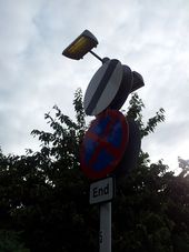
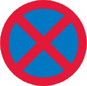
TSRGD diagram 642 - No Stopping (Clearway)
<small>Traffic signs are Crown copyright. They are part of legislation (Traffic Signs Regulations and General Directions 2002, often referred to as TSRGD). The numbers in the image filenames relate to the TSRGD numbering.
You may reproduce traffic signs free of charge and without having to seek permission, but you must reproduce them accurately and not in a misleading context (e.g. not on roadside billboards where they could mislead drivers). You should also include a statement that these images are Crown copyright.
Please also read the fuller conditions for Open Government Licence. </small>Hidden categories:
