Gallery:Rugby

From Roader's Digest: The SABRE Wiki
Jump to navigation Jump to search


This gallery has no child categories
Rugby
 
 
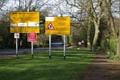
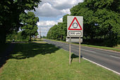
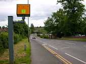
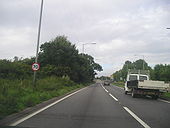
70 sign in Rugby - Coppermine - 19158.jpg
70 sign in Rugby

On the A426 Northbound out of the town

Originally uploaded to Coppermine on Jul 22, 2008 by Jeni
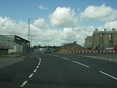
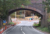
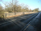
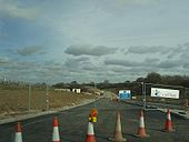
Rugby Western Relief Road A428 Junction - Coppermine - 22650.jpg
Rugby Western Relief Road A428 Junction

North Westerly view along A428 Lawford Road Rugby along the temporary stretch showing the old railway bridge remains on the right and Parkfield Road with the silos of the Cemex Works on the right as well. 13 July 2009

Originally uploaded to Coppermine on Jul 13, 2009 by leekman
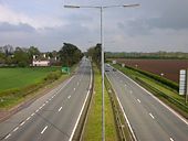
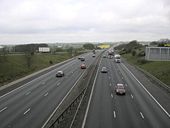
A45 near A4071 Blue Boar Junction - Coppermine - 16960.jpg
A45 near A4071 Blue Boar Junction

North west view along the A45 with the A4071 Blue Boar overbridge in the distance 500M away. This section has recently been resurfaced and has had new signage. Contractors are still working tidying up loose odds and ends, possibly snagging. February 15 2008

Originally uploaded to Coppermine on Feb 15, 2008 by leekman
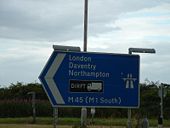
M45 joins A45 at Thurlaston - Geograph - 1090469.jpg
M45 joins A45 at Thurlaston
A45 west of Dunchurch - Geograph - 1425271.jpg
A45 west of Dunchurch
Dunchurch - Geograph - 469438.jpg
Dunchurch
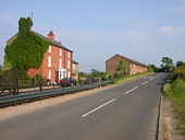
Former A45 at Dunchurch - Geograph - 1294250.jpg
Former A45 at Dunchurch
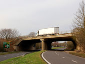
M45 bridge over A45 at Dunchurch - Geograph - 1090460.jpg
M45 bridge over A45 at Dunchurch
Rugby-Kilsby Lane - Geograph - 462015.jpg
Rugby-Kilsby Lane
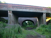
Disused railway bridge at Cawston (2) - Geograph - 1493492.jpg
Disused railway bridge at Cawston (2)
A4071 near Cawston - Geograph - 1236109.jpg
A4071 near Cawston
Disused railway bridge, Cawston - Geograph - 1493479.jpg
Disused railway bridge, Cawston
Dunchurch Station - Geograph - 33734.jpg
Dunchurch Station
Blue Boar - A45 - Geograph - 165646.jpg
Blue Boar - A45
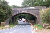
Railway bridge, A45 Dunchurch - Geograph - 1127127.jpg
Railway bridge, A45 Dunchurch
Railway Bridge, Dunchurch - Geograph - 1425860.jpg
Railway Bridge, Dunchurch
The old part of Cawston - Geograph - 644533.jpg
The old part of Cawston
A4071 at Cawston - Geograph - 1360558.jpg
A4071 at Cawston
Rugby-Hillmorton Road - Geograph - 1047721.jpg
Rugby-Hillmorton Road
Hillmorton-Crick Road - Geograph - 294678.jpg
Hillmorton-Crick Road
Hillmorton-West Coast Mainline - Geograph - 666328.jpg
Hillmorton-West Coast Mainline
Rugby - Dunchurch Road - Geograph - 75717.jpg
Rugby - Dunchurch Road
New Bilton-Lawford Road - Geograph - 489623.jpg
New Bilton-Lawford Road
Rugby - Dunchurch Road - Geograph - 176101.jpg
Rugby - Dunchurch Road
Rugby-Ashlawn Road - Geograph - 1071967.jpg
Rugby-Ashlawn Road
M6 Motorway Junction One - Geograph - 783386.jpg
M6 Motorway Junction One
Rugby Awayday - Coppermine - 18924.jpg
Rugby Awayday
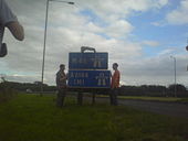
Rugby Awayday - Coppermine - 18923.jpg
Rugby Awayday
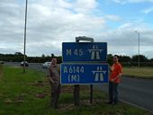
Rugby Awayday 5-7-08 - Coppermine - 18903.jpg
Rugby Awayday 5-7-08 - Reclassifying the M45
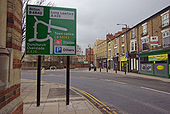
Lawrence Sheriff Street, Rugby - Geograph - 1679717.jpg
Lawrence Sheriff Street, Rugby
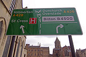
Defunct road signs 'marooned' - Geograph - 1678567.jpg
Defunct road signs 'marooned'
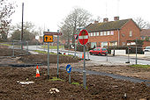
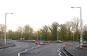
New roundabout, Newbold Road - Geograph - 1678578.jpg
New roundabout, Newbold Road
Bilton Road, Rugby - Geograph - 1676896.jpg
Bilton Road, Rugby
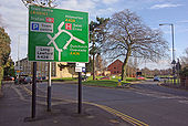
Road sign - Warwick Street, Rugby - Geograph - 1676330.jpg
Road sign - Warwick Street, Rugby
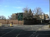
Rugby School Conservation Area - Geograph - 1675937.jpg
Rugby School Conservation Area
Newbold-Western Relief Road Bridge - Geograph - 1763737.jpg
Newbold-Western Relief Road Bridge
A short elevated section of the road over the River Avon and it's flood plain.
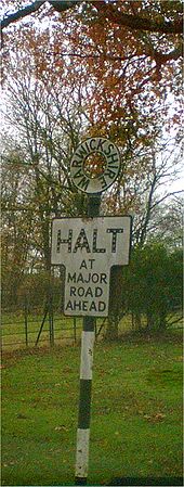
Halt - Coppermine - 9830.jpg
Halt

Found on a private road, just outside Rugby.

Originally uploaded to Coppermine on Jan 17, 2007 by snowdon
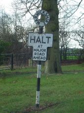
Pre-Worboys sign at exit from Coton House grounds.jpg
This fine old sign warns motorists emerging onto the A426 from what is nowadays the Royal Mail Management Centre and College, Coton House.
Looking north along the A426 to Dunchurch - Geograph - 1661898.jpg
Looking north along the A426 to Dunchurch
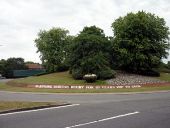
Roundabout, Rugby, Warwickshire - Geograph - 1971964.jpg
Roundabout, Rugby, Warwickshire Sponsored by Mr Kipling - note the 'cup cake' flower tub!
The B4429 dual carriageway approaching Dunchurch - Geograph - 1661889.jpg
The B4429 dual carriageway approaching Dunchurch
Looking southeast along the B4429 near Dunchurch - Geograph - 1661893.jpg
Looking southeast along the B4429 towards the A45 near Dunchurch
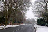
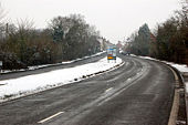
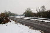
Snowy conditions on the M45 motorway, Dunchurch - Geograph - 1661918.jpg
Snowy conditions on the M45 motorway, Dunchurch
A4071 Rugby Western Relief Road Potfords Dam - Coppermine - 21778.jpg
A4071 Rugby Western Relief Road Potfords Dam

Closer view of the west end of the A4071 Rugby Western Relief Road at the new roundabout under construction showing the carriageway works in the distance. 24 March 2009

Originally uploaded to Coppermine on Mar 24, 2009 by leekman
A4071 Rugby Western Relief Road Potfords Dam - Coppermine - 21777.jpg
A4071 Rugby Western Relief Road Potfords Dam

North easterly view approaching the Rugby Western Relief Road westerly start at Potfords Dam. The original road bears to the right and goes under the old railway bridge. 24 March 2009

Originally uploaded to Coppermine on Mar 24, 2009 by leekman
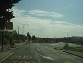
A428 Lawford Road-Rugby Western Relief Road - Coppermine - 22563.jpg
A428 Lawford Road-Rugby Western Relief Road

Eastward view along Lawford Road showing the old approach to the railway bridge by the cement works being removed in preparation for the road.The mini roundabout is for access to Paynes Lane and the site offices and this is a temporary layout pending removal of the bridge and construction of the new junction. To the left will head to Parkfield Road.

01 July 2009 
Originally uploaded to Coppermine on Jul 02, 2009 by leekman
 

SABRE - The Society for All British and Irish Road Enthusiasts
Discuss - Digest - Discover - Help