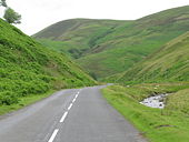
Gallery:South West Coastal 300

From Roader's Digest: The SABRE Wiki
Jump to navigation Jump to search
Scottish Tourist Routes > South West Coastal 300


This gallery has no child categories
South West Coastal 300
 
 
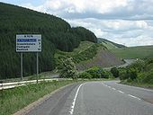
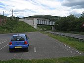
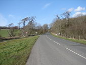
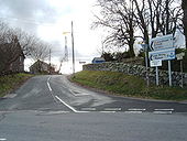
Junction of the B7084 with the A75 - Geograph - 1626920.jpg
Junction of the B7084 with the A75
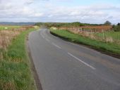
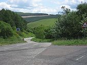
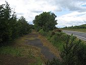
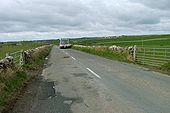
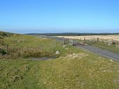
B7084 at Torrs Warren - Geograph - 3713583.jpg
B7084 at Torrs Warren
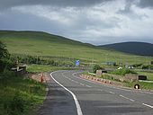
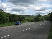
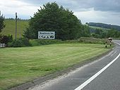
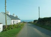
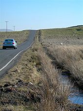
B7084 at West Freugh (C) Andy Farrington - Geograph - 2102518.jpg
B7084 at West Freugh (C) Andy Farrington
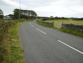
View along this road northwards.
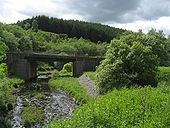
Elvanfoot Bridge.jpg
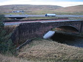
Old A74 Bridge, B7076 south of Crawford - Coppermine - 18511.JPG
Old A74 Bridge, B7076 south of Crawford

It's amazing to think that four lanes squeezed over this bridge. There couldn't have been much of a central reservation. Last time I passed over it trucks had taken to parking on the verges, but they've put cones out as you can see to prevent this.

Originally uploaded to Coppermine on Jun 16, 2008 by leopard680
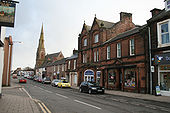
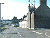
B723-lockerbie1.jpg
Lockerbie High Street on the B723
B7076 (old A74) - Coppermine - 18509.JPG
B7076 (old A74)

At the beginning of the drop down to Nether Howcleugh. 1990s A74(M) to the left. This is at the top end of the old separate north & southbound carriageways, which were somedistance apart between here and the railway bridge.

Originally uploaded to Coppermine on Jun 16, 2008 by leopard680
Original A74, Nether Howcleugh - Coppermine - 18508.JPG
Original A74, Nether Howcleugh

This stub of the original alignment diverges from the 1960s alignment near Nether Howcleugh, and drops down to the railway bridge there.

Originally uploaded to Coppermine on Jun 16, 2008 by leopard680
3 generations of A74. - Coppermine - 18507.JPG
3 generations of A74.

1990s M74 up on the left, original alignment curving down to the left to the railway bridge, & 1960s alignment (old southbound carriageway) to the right

Originally uploaded to Coppermine on Jun 16, 2008 by leopard680
1960s A74 from 1930s - Coppermine - 18506.JPG
1960s A74 from 1930s

Taken from the stub of the original alignment that drops down to the railway bridge at Nether Howcleugh

Originally uploaded to Coppermine on Jun 16, 2008 by leopard680
B7076 (old A74) Nether Howcleugh - Coppermine - 18505.JPG
B7076 (old A74) Nether Howcleugh

This was the section of A74 where the northbound was some distance up the hill from the southbound. I clambered up the bank to see if there was any trace of it. You can make out the general alignment, but there's no trace whatsoever of the old road surface. It's been given back entirely to nature. You can see the old southbound down to the right.

Originally uploaded to Coppermine on Jun 16, 2008 by leopard680
B7076-b719.jpg
The B719 crossing the A74(M) to reach the B7076 on a brightening March evening.
Greenhillstairs Bridge - Geograph - 1004542.jpg
Greenhillstairs Bridge
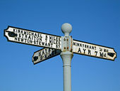
Fingerpost - Geograph - 257875.jpg
Fingerpost
Nether Howcleugh, B7076 (old A74) - Coppermine - 18504.JPG
Nether Howcleugh, B7076 (old A74)

Looking north from the railway bridge, you can make out roughly where the old northbound diverged up the hill to the left

Originally uploaded to Coppermine on Jun 16, 2008 by leopard680
Nether Howcleugh, B7076 (old A74) - Coppermine - 18503.JPG
Nether Howcleugh, B7076 (old A74)

This shows the old southbound lane, apparently heading straight for the bridge, but remember that this bridge was replaced a couple of years ago, and the general alignment viz-a-viz old north & southbound carriageways must've been rearranged at that time. this car park is accessed via a stub of the older A74 alignment from the top of the hill behind the camera

Originally uploaded to Coppermine on Jun 16, 2008 by leopard680
Original A74, curve north of Beattock - Coppermine - 18501.JPG
Original A74, curve north of Beattock

A mile north of Beattock this old curve remains. 1960s A74 visible (B7076) on the right

Originally uploaded to Coppermine on Jun 16, 2008 by leopard680
Old 'Beattock Services' sign - Coppermine - 18489.JPG
Old 'Beattock Services' sign

I know it's been done before, but here it is again, on the old northbound carriageway. The well tended lawn here is because it is next to someone's house. As you can see the rest of the northbound isn't this neat. It would cost a fortune to do so! Think you'd struggle to find all these service now in Beattock

Originally uploaded to Coppermine on Jun 15, 2008 by leopard680
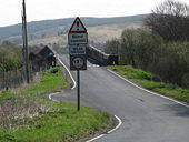
Road junction - Geograph - 1539257.jpg
Road junction
The main road winds through the Isle of Whithorn and, turning off this road, is the B7063 to Garlieston.
Balkelzie Bridge, Logan Toll - Geograph - 746694.jpg
Balkelzie Bridge, Logan Toll
Cottages on the B7041 (C) Ann Cook - Geograph - 2726034.jpg
Cottages on the B7041 (C) Ann Cook
Luce Bay can be seen in the distance.
B7040 Begins - Geograph - 406086.jpg
B7040 Begins
Road to the Lead Mining Museum
The B7004 to Isle - Geograph - 738640.jpg
The B7004 to Isle
Main Street, Isle of Whithorn (C) Billy McCrorie - Geograph - 2978440.jpg
Main Street, Isle of Whithorn (C) Billy McCrorie
On the B7042 near Sandhead - Geograph - 164847.jpg
On the B7042 near Sandhead
Portpatrick to Sandhead road. In south-west Scotland, even the B roads seem like country lanes.
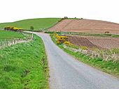
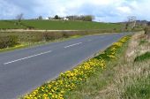
A Host Of Golden Dandelions - Geograph - 4925345.jpg
A Host Of Golden Dandelions A lovely springtime show of dandelions along the roadside verges. Laigh Woodston farm is shown in the background.
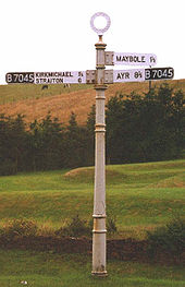
Finger Post B7045 - Coppermine - 725.jpg
Finger Post B7045

OP Olly A1

Originally uploaded to Coppermine on Apr 14, 2005 by M4Simon
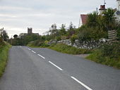
Approach to Borgue from the east on the B727 road - Geograph - 571699.jpg
Approach to Borgue from the east on the B727 road
The B727 approaching Culraven Farm - Geograph - 571716.jpg
The B727 approaching Culraven Farm
The B727 near Gledpark - Geograph - 571479.jpg
The B727 near Gledpark
B7076 (old A74) Johnstonebridge - Coppermine - 18406.JPG
B7076 (old A74) Johnstonebridge

A lovely evening at Johnstonebridge, looking south. you can see the A74(M), and just to the left of it the old alignment of the A74 - it crosses over the A74(M) just south of here.

Originally uploaded to Coppermine on Jun 10, 2008 by leopard680
M6 Sign 1A - Coppermine - 2632.jpg
M6 Sign 1A

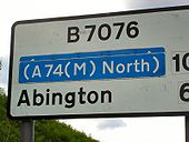
This direction sign on the B7076 appears to have something underneath (A74(M))

Originally uploaded to Coppermine on Jul 08, 2005 by A68Nick
Patched M6 Sign 3 - Coppermine - 2626.jpg
Patched M6 Sign 3

Not much effort's been made here to disguise the true identity of the A74(M)!

Originally uploaded to Coppermine on Jul 08, 2005 by A68Nick
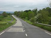
B7076 North from Johnstonebridge - Coppermine - 13679.JPG
B7076 North from Johnstonebridge

I wonder if the rushes growing on the old northbound are naturally occuring, but their fairly consistent edge line makes me think they might've been planted to aid the 'back to nature' process.

Originally uploaded to Coppermine on Jul 02, 2007 by leopard680
B7076 North from Lockerbie - Coppermine - 13676.JPG
B7076 North from Lockerbie

A little bit blurred, but this clearly shows the grassed over old northbound, with cycle track. Some of the original (?) silver grey granite chip surface remains.

Originally uploaded to Coppermine on Jul 02, 2007 by leopard680
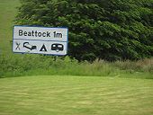
Big Beattock Sign, B7076 - Coppermine - 13674.JPG
Big Beattock Sign, B7076

Looking across the grassed over old northbound, this motorway-sized sign looks most incongruous

Originally uploaded to Coppermine on Jul 02, 2007 by leopard680
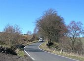
Coming Down The Hill - Geograph - 619196.jpg
Coming Down The Hill
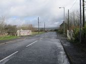
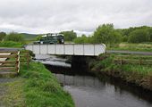
Knockshinnoch level crossing.jpg
Knockshinnoch colliery level crossing on the B741 at New Cumnock.
Bridge over Muck Water - Geograph - 185416.jpg
Bridge over Muck Water
Old spoil tip - Geograph - 183475.jpg
Old spoil tip
Bridge over the River Doon - Geograph - 1311355.jpg
Bridge over the River Doon
Cattle Grid - Geograph - 619178.jpg
Cattle Grid
Going To Dalmellington - Geograph - 619181.jpg
Going To Dalmellington
Towards Pennyvenie - Geograph - 1346012.jpg
Towards Pennyvenie
B797 - Bottom of the world - Coppermine - 5971.jpg
B797 - Bottom of the world

Between the A76 and A74 (M) west of Wanlockhead

Originally uploaded to Coppermine on May 21, 2006 by VibeOne
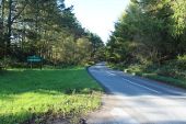
Vibeone - Coppermine - 4791.jpg
vibeone

B797 in Scotland

Originally uploaded to Coppermine on Feb 18, 2006 by VibeOne
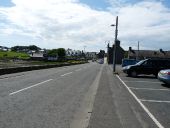
Glenclach Burn and Moor End - Geograph - 1004228.jpg
Glenclach Burn and Moor End
Mennock Pass - Geograph - 1403256.jpg
Mennock Pass
 
 
Page 1, 48 file(s) of 99 shown
Page 1 2 3

SABRE - The Society for All British and Irish Road Enthusiasts
Discuss - Digest - Discover - Help