Gallery:Southampton
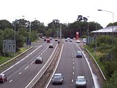
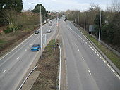
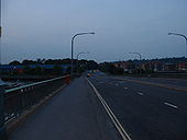
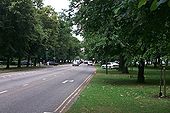
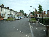
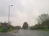
Isn't the road quiet today. Little over twenty years ago before the gap in the M27 was plugged this was the south coast trunk route!
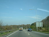
Originally uploaded to Coppermine on Aug 31, 2005 by sotonsteveHeading outbound from the Kanes Hill Roundabout towards Jct 7 of the M27. The local transport plan will see this road widened to S2+1, although D2 would be better, as you get long traffic queues forming in both directions; inbound caused by a single set of Southampton's traffic lights at the junction of Thornhill Park Road and Hinkler Road, which don't give enough time to A334 traffic in rush hour and create horrendous delays.
Originally uploaded to Coppermine on Apr 05, 2007 by sotonsteveLooking north along Wide Lane, formerly the A335 until Stoneham Way was built in the late 1980s. The road is quite knackered, although it may not be so evident at this particular location.
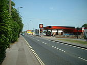
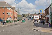
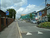
Originally uploaded to Coppermine on Aug 08, 2006 by sotonsteveLooking outbound towards the parade of shops.
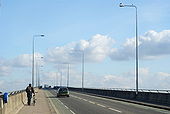
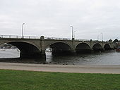
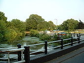
Originally uploaded to Coppermine on Jul 03, 2006 by sotonsteveCobden Bridge links Bitterne Park on the right with St Denys on the left. Taken looking upstream along the Itchen.
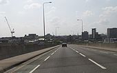
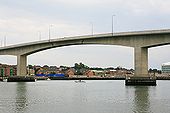
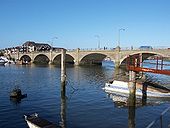
Northam Bridge, looking North East; one of the main routes out of Southampton.
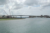
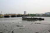
Looking across the River Itchen from Centurion Industrial Park. In the foreground is the boat Isabella, marked PRIVATE KEEP OFF, which looks to be in a poor state.
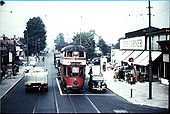
A nostalgic shot of this area of Southampton nearly 35 years ago. View believed to be Portswood high road looking towards the city centre. Originally a Kodak ektachrome slide but recently digitally scanned. The car nearest the camera is a Vauxhall Viva (Mk2). Rear entrance double-deckers and two man operation (driver + ticket collector) have long since disappeared from public transport in Southampton.
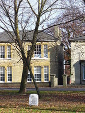
Stone marker on the main road north from Southampton, leading to Winchester and London. The Avenue here has a wide grassy centre and has become a stretch of dual carriageway. Here it is lined by grand, substantial detached stone buildings.
Looking northwest along Shirley Road towards the Shirley local high street. Photo taken from a pedestrian island in the middle of the road.
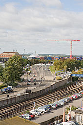
Seen from top of multistorey car park on West Park Road. The silver dome in the distance is on the far side of the River Test at <a href='http://www.geograph.org.uk/photo/1107922'>SU3911 : Marchwood Incinerator</a>.
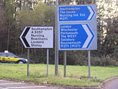
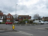
Junction of Hill Lane, Winchester Road and Lordswood Road
Woodmill Bridge, a narrow crossing over the River Itchen near Swaythling.
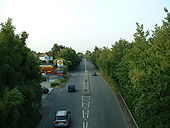
Looking North along Thomas Lewis Way, a fairly new road to take traffic into Southampton from Eastleigh avoiding the motorway and the congested areas of Swaythling and Portswood. This picture was taken from the Woodmill Lane bridge.
Looking inbound from Bursledon Road.
Originally uploaded to Coppermine on Sep 01, 2005 by sotonsteveA new set of traffic lights has been installed at the junction with Orpen Road. At the same time the old footbridge has been removed. The council have taken a backward step here, as the traffic lights don't have meshed lenses that stop the lenses from reflecting sunlight.
Originally uploaded to Coppermine on Sep 01, 2005 by sotonsteveFormerly the A335 before Thomas Lewis Way was opened in 1989. Street scene improvements in progress.
Originally uploaded to Coppermine on Oct 28, 2005 by sotonsteveShowing the signs that greet you as you leave Southampton's home zone.
Originally uploaded to Coppermine on Jan 05, 2008 by sotonsteveThe Augustine Road part of Southampton's home zone. Parts of it are a bit of a mess to be honest!
Originally uploaded to Coppermine on Jun 11, 2006 by sotonsteveMisuse of the 'two way traffic' road sign on Wide Lane in Southampton.
Originally uploaded to Coppermine on Mar 05, 2009 by sotonsteveApparently there is a level crossing with automatic barrier and warning lights ahead. Not from what I can see; just a modern high security gate that is opened and closed manually. A sign from the past in Redbridge, Southampton?
Originally uploaded to Coppermine on Jun 20, 2007 by sotonsteve