Gallery:Sunderland

From Roader's Digest: The SABRE Wiki
Jump to navigation Jump to search


This gallery has no child categories
Sunderland
 
 
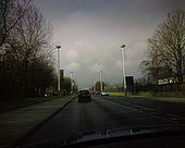
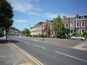
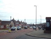
Winter in Sunderland - Geograph - 786270.jpg
Winter in Sunderland
Taken in the winter of 1955-56 possibly. Burn Park on the left looking towards the older part of the Royal Infirmary.
AquaMarineP222s.jpg
A183, Dame Dorothy Street, Monkwearmouth, Sunderland. Recently repainted P222 laterns and coloums in what I like to call 'Aqua Marine'.
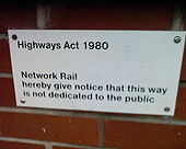
Highways Act 1980 - Coppermine - 12253.JPG
Highways Act 1980

Notice at Seaburn Metro station, Sunderland

Originally uploaded to Coppermine on May 31, 2007 by superbfc
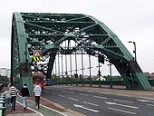
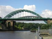
Wearmouth Bridge - Geograph - 623383.jpg
Wearmouth Bridge
Opened in 1929, this bridge had been built around an original cast-iron structure of 1797.
Geograph-2436432-by-Alexander-P-Kapp.jpg
High Street East, Sunderland
Geograph-1920894-by-DS-Pugh.jpg
Stockton Road St. George's church is just ahead on the left.
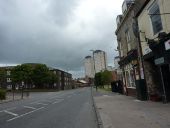
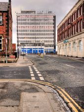
Sunderland, Borough Road - Geograph - 4885179.jpg
Sunderland, Borough Road
Durham Road (A690) - Geograph - 4524634.jpg
Durham Road (A690) Heading north east towards Sunderland city centre.
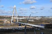
New Road Crossing under construction - Geograph - 5305013.jpg
New Wear Crossing under construction
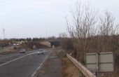
Hylton Grange Interchange Sunderland - Geograph - 1673548.jpg
Hylton Grange Interchange viewed from the A19
Monkwearmouth Bridge 3 - Geograph - 517024.jpg
View of the Wearmouth Bridge from the north bank of the Wear, looking west
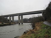
A19 Road Bridge over the River Wear - Geograph - 1665042.jpg
A19 Road Bridge over the River Wear
Queen Alexandra bridge - Geograph - 832248.jpg
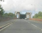
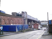
Queen Alexandra Bridge
A1231 approaching Queen Alexandra Bridge... (C) peter robinson - Geograph - 3181614.jpg
A1231 approaching Queen Alexandra Bridge... (C) peter robinson
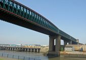
Queen Alexandra Bridge - Geograph - 87551.jpg
Queen Alexandra Bridge
Striking bridge spanning the Wear between Southwick and Deptford.
A19 road sign - Geograph - 199710.jpg
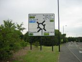
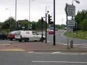
Approach to Herrington Interchange on City Way
A19 roundabout entrance to Doxford International - Geograph - 199723.jpg
The roundabout at Herrington Interchange, viewed from the City Way exit
A19 slip road near Sunderland - Geograph - 3945111.jpg
Southbound on-slip at Chester Road Interchange
Roundabout southeast of Offerton - Geograph - 2457301.jpg
Roundabout at Chester Road Interchange, Sunderland, from the eastbound A183
A19 near Sunderland - Geograph - 3945119.jpg
View of the A19 looking south from the roundabout at Chester Road Interchange
Penshaw Village, 2 pubs and a church - Geograph - 176039.jpg
Penshaw Village, 2 pubs and a church
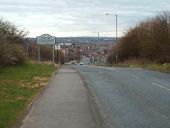
City of Sunderland boundary, Hylton Lane - Geograph - 4422839.jpg
City of Sunderland boundary, Hylton Lane This location is on the boundary of the City of Sunderland and South Tyneside local authorities. This view looks south into the City of Sunderland.
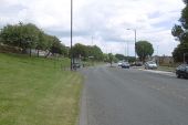
This bit's flat - Geograph - 5071309.jpg
Washington Road, Downhill.
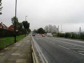
North Hylton Road - Geograph - 3191771.jpg
North Hylton Road
North Hylton Road, Sunderland - Geograph - 3950221.jpg
North Hylton Road, Sunderland
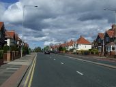
Dovedale Road, Seaburn Dene, near Sunderland - Geograph - 4418521.jpg
Dovedale Road, Seaburn Dene, Sunderland
Tunstall Road - Geograph - 112294.jpg
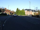
Tunstall Road In the Hillview area of Sunderland, looking downhill towards the city centre.
Tunstall Road, Sunderland - Geograph - 3946864.jpg
Tunstall Road, Sunderland Tunstall Road, looking north towards the centre of Sunderland.
Tunstall Road approaching roundabout - Geograph - 3220732.jpg
Tunstall Road approaching roundabout Northbound at the roundabout with Queen Alexandra Road
Fatfield Bridge from the west - Geograph - 3459458.jpg
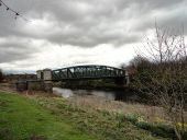
Fatfield Bridge from the west This steel arch bridge was built by Head Wrightsons of Thornaby in 1890. It bridges the River Wear.
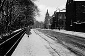
Burdon Lane heading west - Geograph - 3219710.jpg
Burdon Lane heading west
Minor road heading west - Geograph - 4522965.jpg
Minor road heading west Towards Newbottle.
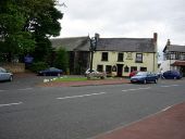
Halfway House, Southwick, Sunderland - Geograph - 4422847.jpg
The Halfway House pub on Southwick Road, the former B1289
 

SABRE - The Society for All British and Irish Road Enthusiasts
Discuss - Digest - Discover - Help