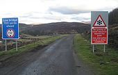
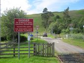
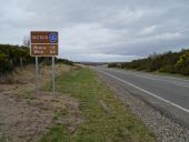
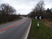
Warning that the road will not be gritted beyond this point as this is the last point over-height vehicles can turn around before a 7 ft high railway bridge.
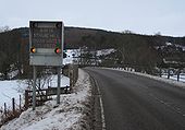
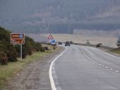
Warning sign on A836 of snow gate closure on B9176
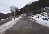
Snow gates on B9176 at A836 junction closed
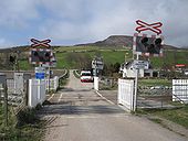
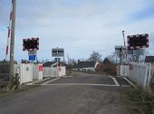
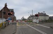
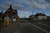
Kirkton level crossing on the U3184 near Golspie
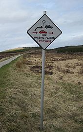
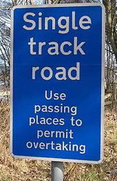
Passing place sign on A836 advising drivers to use passing places to allow overtaking.
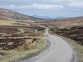
A836 between Lairg and Antnaharra
An unsurfaced passing place with old sign on the C1034 Altnaharra to Hope road
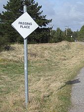
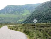
Diamond passing place sign
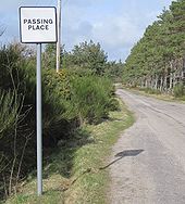
Square passing place sign
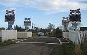
Dalchalm level crossing on the C1062 and Far North Line
Brora level crossing on the C1030 Gower Street and the Far North Line
The Level Crossing on Gower Street, just off the A9 in Brora
Variable message sign on the A9 at Loth which says please be a courteous driver.
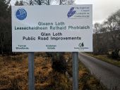
Sign on the U2810 Glen Loth Road informing of road improvements funded by the Strategic Timber Transport Scheme.
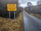
Timber Haulage Route sign on the U2810 Glen Loth Road at Kildonan, incorrectly signed as C2810.
Sign warning of winter conditions on he U2810 Glen Loth Road at Kildonan.
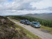
Stopped for a photo opportunity on the Glen Loth Road on the SABRE 2012 Roadtrip.
Road at south end of Loch Eriboll
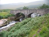
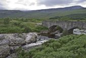
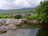
Amhainn an t-Stratha Beag A view looking to the southwest to the bridge carrying the A838 over Amhainn an t-Stratha Beag ( Strath Beag river).
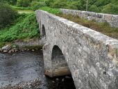
Bridge at the southern end of Loch Eribol
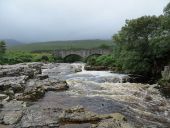
Amhainn an t-Stratha Bhig at Loch Eriboll
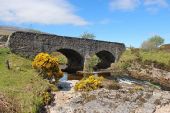
Polla Bridge on the A838 Polla Bridge, c.1830, is a two-span rubble bridge with segmental arches and triangular cutwaters crossing the Amhainn an t-Strath Bhig (Strath Beag river) close to the bottom of Strath Beag.
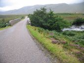
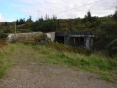
Approaching Strath Beag A view looking to the southwest along the A838 approaching the bridge over Amhainn an t-Stratha Beag, showing the weir on the right.
Bridge at head of loch Eriboll
A838 road bridge at Polla
Borgie Bridge A wider section of the A836 at Borgie.
Old no waiting signs on the A949 Castle Street in Dornoch
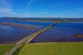
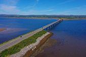
Dornoch Firth Bridge on the A9, viewed from the south
Dornoch Firth Bridge on the A9 viewed from the south
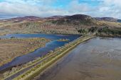
The Mound causeway crossing Loch Fleet
Altnaharra Bridge on the A836
North Coast 500 route confirmation sign on the A9 north of the Dornoch Firth Bridge
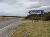
Direction sign on the A9 for 'Meikle Ferry North & Slipway (No ferry)'
North Coast 500 route confirmation sign om the A9 north of the Dornoch First Bridge
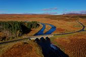
The Mound crossing Loch Fleet on the A9, aerial of old and new bridges at the north end of the causeway.
The new and old bridges at The Mound, crossing Loch Fleet
The A9 crossing Loch Fleet and the Far North railway line at The Mound
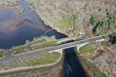
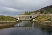
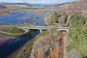
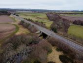
The A9 crossing the River Evelix on the northern approach to the Dornoch Firth Bridge
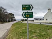
Direction signs at a junction with the A9 at Poles.
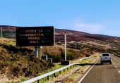
VMS on the A9 at Loth displaying 'Covid-19 essential travel only' message in March 2020
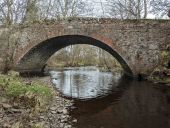
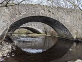
The old Evelix Bridge on the A9 in Sutherland, viewed from the west
The old Evelix Bridge on the A9 in Sutherland, viewed from the east, with the new bridge visible beyond.
The A9 at Evelix, looking north across the bridge over the River Evelix, towards the junction with the A949.
