Gallery:T18 (Northern Ireland)

From Roader's Digest: The SABRE Wiki
Jump to navigation Jump to search
T Roads in Northern Ireland > T18 (Northern Ireland)


This gallery has no child categories
T18 (Northern Ireland)
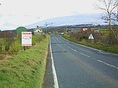
 
 
Hillside Road at Balleny - Geograph - 1728424.jpg
Hillside Road at Balleny
Main Street, Armoy - Geograph - 1728363.jpg
Main Street, Armoy
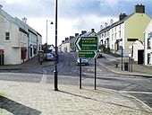
The Ballycastle Fork - Geograph - 339073.jpg
The Ballycastle Fork

See <a href='http://www.geograph.org.uk/photo/229789'>D0613 : Glarryford Cross - the end of the world?</a>. This is the Ballycastle Fork where the road to Ballycastle leaves the Belfast-Coleraine road. This is where 4.2 miles of �other road� end. There are now plans to dual the road � see <a title='http://roadimprovements.roadsni.gov.uk/index/futureschemes/a26_glarryford_to_a44_drones_road_dualling.htm' rel='nofollow' href='http://roadimprovements.roadsni.gov.uk/index/futureschemes/a26_glarryford_to_a44_drones_road_dualling.htm'>Link</a><img style='padding-left:2px;' alt='External link' title='External link - shift click to open in new window' src='http://s0.geograph.org.uk/img/external.png' width='10' height='10'/>.
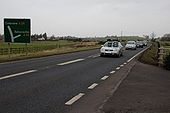
The Magheramore Road near Armoy - Geograph - 1259194.jpg
The Magheramore Road near Armoy
The Magheramore Road is part of the main road from the Ballycastle Fork <a href='http://www.geograph.org.uk/photo/339073'>D0419 : The Ballycastle Fork</a> (on the Belfast � Coleraine road) to Ballycastle. The view is towards Ballycastle.
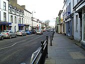
Ann Street, Ballycastle - Geograph - 1728428.jpg
Ann Street, Ballycastle
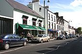
Quay Road - Geograph - 472631.jpg
Quay Road
Some of the shops in Ballycastle's main street.
 

SABRE - The Society for All British and Irish Road Enthusiasts
Discuss - Digest - Discover - Help