Gallery:T7 (Northern Ireland)
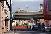
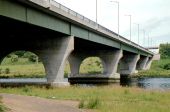
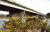
See <a href='http://www.geograph.org.uk/photo/564453'>J3474 : Elevated road and railway, Belfast (2)</a>. The bridges as they cross the Lagan at Queen�s Quay. The railway bridge is almost hidden on the left. See also <a href='http://www.geograph.org.uk/photo/999230'>J3474 : The River Lagan, Belfast (1990) (2)</a>.
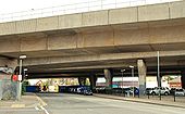
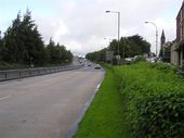
See <a href='http://www.geograph.org.uk/photo/590317'>J3474 : Corporation Street, Belfast (2)</a>. Corporation Street remains closed during the rebuilding of the Belfast sewers. An eerie calm prevails over what was once a street busy with traffic. In the ten minutes I spent here, one pedestrian and four vehicles passed (one had taken the wrong turning). The view is towards Corporation Square at the cross-harbour railway and road <a href='http://www.geograph.org.uk/photo/4750'>J3474 : Belfast Cross Harbour Links</a>.
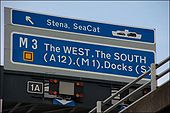
It is not easy to photograph a motorway sign legally. This was taken from ground level <a href='http://www.geograph.org.uk/photo/495849'>J3474 : Elevated railway and road, Belfast</a>. See also <a href='http://www.geograph.org.uk/photo/1464810'>J3474 : Motorway sign, Belfast (2)</a>.
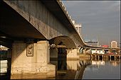
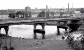
See <a href='http://www.geograph.org.uk/photo/495849'>J3474 : Elevated railway and road, Belfast</a>. This is a view of the bridges as they pass Tomb Street. The railway is nearest the camera. The Harbour Office is in the background.
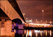
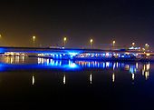
The rail and road bridges over the River Lagan at night. See <a href='http://www.geograph.org.uk/photo/4750'>J3474 : Belfast Cross Harbour Links</a> for something similar during the day. This is the view looking towards the mouth of the Lagan.
See <a href='http://www.geograph.org.uk/photo/495862'>J3474 : Motorway sign, Belfast</a>. The same sign (amended to take account of the new terminals for the Stranraer and Isle of Man ferries) with the overhead lights showing a 40mph speed limit and lane closure due to roadworks. Continue to <a href='http://www.geograph.org.uk/photo/1760656'>J3574 : Motorway sign, Belfast (3)</a>.
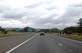
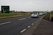
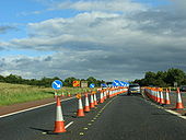
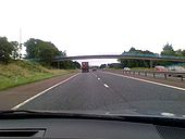
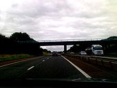
Pic taken travelling westbound between j7 (M2) and j1 (M22).
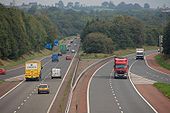
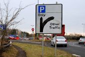
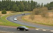
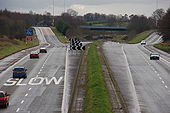
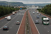
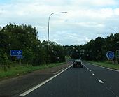
Originally uploaded to Coppermine on Jul 14, 2009 by A42_SparksThe M2 should have continued north from Dunsilly with the M22 as a branch heading west. That section of the M2 was never built (although an all-purpose dual carriageway was - eventually). The M22 is in the foreground and becomes the M2 at the end of the on-slip on the left. The wide central reservation was to allow the two motorways to merge. View to Belfast on 25 September 2006.
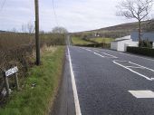
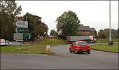
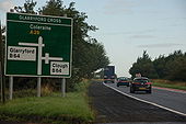
Originally uploaded to Coppermine on Feb 05, 2007 by Wee HughieSee <a href='http://www.geograph.org.uk/photo/229789'>D0613 : Glarryford Cross - the end of the world?</a>. This is the Ballycastle Fork where the road to Ballycastle leaves the Belfast-Coleraine road. This is where 4.2 miles of �other road� end. There are now plans to dual the road � see <a title='http://roadimprovements.roadsni.gov.uk/index/futureschemes/a26_glarryford_to_a44_drones_road_dualling.htm' rel='nofollow' href='http://roadimprovements.roadsni.gov.uk/index/futureschemes/a26_glarryford_to_a44_drones_road_dualling.htm'>Link</a><img style='padding-left:2px;' alt='External link' title='External link - shift click to open in new window' src='http://s0.geograph.org.uk/img/external.png' width='10' height='10'/>.
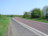
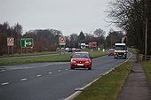
The road between Antrim and Ballymena forms part of the Belfast-Coleraine road. After many years of neglect it was dualled, piecemeal, between 1989 and 2001. It is an all-purpose road with right and �U� turns allowed. This is the view towards Ballymena.
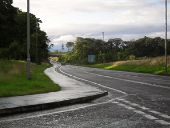
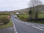
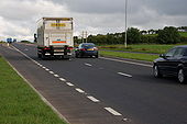
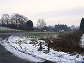
The Belfast-Coleraine road includes motorway, dual carriageway, relatively modern single carriageway and other . . . This bit of �other� was recently rebuilt as a �2+1� climbing lane. The road here at Ballynaloob was infamous for delays caused by caravans and agricultural machinery on the climb from the Ballycastle Fork. This is the view to Coleraine.
The Ballee roundabout is at the end of the dual carriageway from Antrim/Belfast. The road to Coleraine is on the left. The road to Belfast is marked by the trees at middle right.
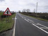
After a long stretch of motorway and dual carriageway, on the road from Belfast to Coleraine and Ballycastle, Glarryford Cross, is where the end of the world begins. There follows 4.2 miles of road which does not really merit the description �A�. There are plans to dual the road � but not in the immediate future . . . .
The A26 Antrim to Ballymena dual-carriageway (Lisnevenagh Road) in the townland of Ballymuckvea - at the junction with the Island Road.
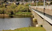
See <a href='http://www.geograph.org.uk/photo/190450'>C8431 : Coleraine ring road</a>. The Sandelford Bridge carries the ring road across the Bann. It was the vantage point for <a href='http://www.geograph.org.uk/photo/728957'>C8431 : The River Bann, Coleraine</a>. The river is flowing from right to left.
The Coleraine ring road takes most through traffic away from the town centre. The section from the Lodge Road to the Strand Road crosses the River Bann by a box-girder bridge called the Sandelford Bridge. This is the view across the bridge to the Strand Road.
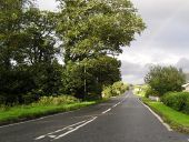
The road runs north-east towards the dual carriageway and the Caw roundabout
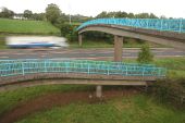
Spiral footbridge across the M2 at Donegore, north of Templepatrick. 8 October 2006.
Originally uploaded to Coppermine on Feb 08, 2007 by Wee Hughie
See <a href='http://www.geograph.org.uk/photo/568568'>J3477 : Almost dead stop on the M2, Belfast</a>. The view outwards from the Hightown Road bridge near Glengormley. The abutment for the new bridge is at lower left. The inside lane is closed to traffic but in use by contractors� vehicles. (The Google map shows this bridge as going under rather than over the motorway).
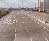
View south towards the M2's temporary terminus at Duncrue Street shortly before opening in 1973. All 5 lanes turn sharply left ahead and meet Duncrue Street at lights. Evidently the left two lanes are for going 'left' (back the direction you came up Duncrue Street) and the remaining three are for going 'right' and continuing in this direction along Duncrue Street to the city. The extension to York Street was not added for a few more years. Note the traffic light signs.
Originally uploaded to Coppermine on Mar 16, 2007 by nirsPhoto taken 06.08.2007.
Originally uploaded to Coppermine on Aug 07, 2007 by csdThe building of the foreshore section of the M2 between Whitla Street, Belfast and Greencastle was a major civil engineering project. It involved reclamation of a large part of Belfast Lough and the transport of more than 4 million tons of fill, by rail, from Magheramorne near Larne. Work started in 1966 with the road opening in 1973. This is the view north from the overbridge at Fortwilliam. The landscaping has taken well although it is hard to hide a motorway! Those with an interest in such things will note the additional hard shoulder on the inside. This section of road carries more than 90,000 vehicles each day.
A rather pathetic M2/start of motorway regs sign there! Photo taken 06.08.2007.
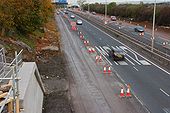
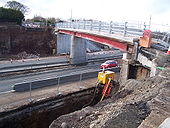
Originally uploaded to Coppermine on Aug 07, 2007 by csdTo allow the widening of the M2 to 3+2 to 3+3 lanes, the Hightown Road bridge is being rebuilt. The new bridge will also be 3 lanes wide to allow improvements to the local road above. The temporary footbridge is actually a thin sliver of the finished bridge. Taken from the truncated end of Hightown Road.
Originally uploaded to Coppermine on Mar 09, 2008 by nirsSee <a href='http://www.geograph.org.uk/photo/1326479'>D1201 : New dual carriageway, Ballymena (5)</a>. This is the present layout of the M2 Ballymena bypass at the Larne Road roundabout. The southbound M2 is on the right. This will become the southbound off-slip. The tract of tarmac running from the bottom left will be rebuilt as the new road. The northbound carriageway (middle left) will become the end of the northbound on-slip. Continue to <a href='http://www.geograph.org.uk/photo/1326559'>D1201 : New dual carriageway, Ballymena (7)</a>.
