Gallery:WS2

From Roader's Digest: The SABRE Wiki
Jump to navigation Jump to search


This gallery has no child categories
WS2
 
 
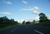
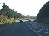
A92 Montrose - Coppermine - 2173.jpg
A92 Montrose

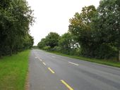
A nice wide stretch of the A92 somewhere in Montrose

Originally uploaded to Coppermine on May 12, 2005 by Queeg
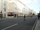
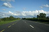
London Road (A3100), Guildford - Geograph - 1557095.jpg
London Road (A3100), Guildford
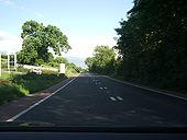
Pedestrians crossing the A3213 - Geograph - 1558403.jpg
Pedestrians crossing the A3213
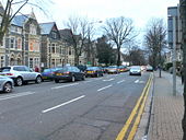
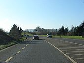
Cathedral Road, Cardiff - Geograph - 708356.jpg
Cathedral Road, Cardiff
Stretch Limo - Geograph - 749331.jpg
Stretch Limo
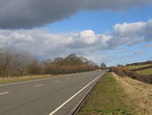
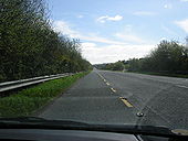
Alcester bypass - Geograph - 129464.jpg
Alcester bypass
A46 Southbound, Evesham - Geograph - 744086.jpg
A46 Southbound, Evesham
A 5 (A483) Oswestry by-pass - Geograph - 204085.jpg
A 5 (A483) Oswestry by-pass
The A5 at West Felton - Geograph - 188809.jpg
The A5 at West Felton
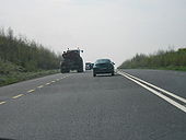
Overtaking Frenzy on A75 - Coppermine - 3738.jpg
Overtaking Frenzy on A75

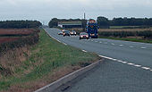
A group of cars overtaking on a wide S2 section just west of Annan. Maybe this was once marked out as S3 with a suicide lane.

Originally uploaded to Coppermine on Oct 10, 2005 by Truvelo
Overtaking Frenzy on A75 - Coppermine - 3737.jpg
Overtaking Frenzy on A75

A75 west of Annan on a Sunday evening. This is perhaps the only day when you make decent progress on this road.

Originally uploaded to Coppermine on Oct 10, 2005 by Truvelo
N52 Tullamore Bypass - Coppermine - 23364.jpg
N52 Tullamore Bypass

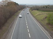
Probably one of the last ever WS2 schemes in Ireland as the NRA have stated their clear intention to substitute 2+2 with wire rope barrier for this type of road wherever possible, including retrofitting WS2's with it, so this road itself may not last as WS2 for more than 10 years??

Originally uploaded to Coppermine on Oct 23, 2009 by murphaph
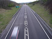
N21 Castleisland - Abbeyfeale - Coppermine - 22586.JPG
N21 Castleisland - Abbeyfeale

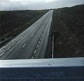
Looking south from the Kilmaniheen overbridge

Originally uploaded to Coppermine on Jul 04, 2009 by tech2
N21 Castleisland-Abbeyfeale - Coppermine - 22514.jpg
N21 Castleisland-Abbeyfeale

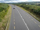
N21 road looking north from the Kilmaniheen overbridge, Knockagoshel, Co. Kerry.

Originally uploaded to Coppermine on Jul 01, 2009 by tech2
N17 - Coppermine - 22513.JPG
N17

Knock bypass section on the N17 National Primary Road

Originally uploaded to Coppermine on Jul 01, 2009 by tech2
N17 - Coppermine - 22512.JPG
N17

The Knock-Claremorris upgrade section of the N17

Originally uploaded to Coppermine on Jul 01, 2009 by tech2
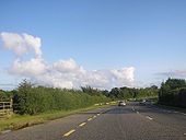
N11 northbound near Wexford Town. - Coppermine - 19681.JPG
N11 northbound near Wexford Town. Originally uploaded to Coppermine on Aug 18, 2008 by murphaph
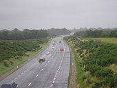
N11 Southbound nr. Wexford Town. - Coppermine - 19674.JPG
N11 Southbound nr. Wexford Town. Originally uploaded to Coppermine on Aug 18, 2008 by murphaph
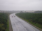
N30 Eastbound - Coppermine - 19638.JPG
N30 Eastbound Originally uploaded to Coppermine on Aug 17, 2008 by murphaph
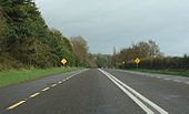
N30 Westbound - Coppermine - 19637.JPG
N30 Westbound Originally uploaded to Coppermine on Aug 17, 2008 by murphaph
N22 west of Ballincollig - Coppermine - 16179.JPG
N22 west of Ballincollig

Most of the N22 is S2. Eastbound approaching Cork.

Originally uploaded to Coppermine on Dec 08, 2007 by csd
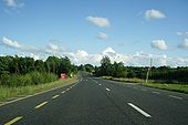
N3 - - Coppermine - 13769.JPG
N3 -

WS2 most of the way from Cavan to Virginia

Originally uploaded to Coppermine on Jul 07, 2007 by Located
N3 - Cavan - Coppermine - 13768.JPG
N3 - Cavan

Another N3 photo

Originally uploaded to Coppermine on Jul 07, 2007 by Located
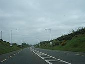
N3 - Coppermine - 13767.JPG
N3

N3 at Cavan

Originally uploaded to Coppermine on Jul 07, 2007 by Located
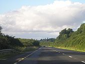
N3 - Coppermine - 13766.JPG
N3

Wide S2 south at Cavan

Originally uploaded to Coppermine on Jul 07, 2007 by Located
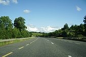
N3 - Cavan - Coppermine - 13765.JPG
N3 - Cavan

Nice wide S2

Originally uploaded to Coppermine on Jul 07, 2007 by Located
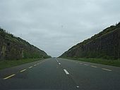
N3 Cavan - Coppermine - 13764.JPG
N3 Cavan

Deadly road

Originally uploaded to Coppermine on Jul 07, 2007 by Located
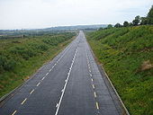
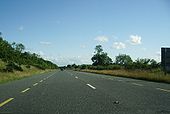
N3 - South of Cavan - Coppermine - 13763.JPG
N3 - South of Cavan

Is this in NI or ROI?

I think it is actually a bike lane. The soid white changes to yellow in a bit

Originally uploaded to Coppermine on Jul 07, 2007 by Located
N9 Leighlinbridge bypass - Coppermine - 10324.jpg
N9 Leighlinbridge bypass

South of Carlow, the N9 has a few improved sections. This includes the S2 bypass of Leighlinbridge, shown here. The bypass was opened in the mid-1980s, and currently sees an AADT of 15,000.

Originally uploaded to Coppermine on Feb 19, 2007 by csd
N9 Leighlinbridge bypass - Coppermine - 10323.jpg
N9 Leighlinbridge bypass

South of Carlow, the N9 has a few improved sections. This includes the S2 bypass of Leighlinbridge, shown here. The bypass was opened in the mid-1980s, and currently sees an AADT of 15,000.

Originally uploaded to Coppermine on Feb 19, 2007 by csd
23 N56 Donegal bypass - Coppermine - 6582.jpg
23 N56 Donegal bypass

For those not wanting to go to Donegal town itself, an S2 northern bypass forms an alternative route for northbound (N15 to Letterkenny) and westbound (N56 to Killybegs & Glenties) traffic.

Originally uploaded to Coppermine on Jun 26, 2006 by csd
Ballyshannon bypass - Coppermine - 6572.jpg
20 Along the Bundoran/Ballyshannon bypass

Although only S2, the N15 Bundoran/Ballyshannon bypass is grade-separated from minor roads, and the major junctions are roundabouts or left in/left out.

Originally uploaded to Coppermine on Jun 26, 2006 by csd
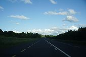
N30 Eastbound approacing Clonroche - Coppermine - 5621.JPG
N30 Eastbound approacing Clonroche

Typical stretch of irish WS2.

Originally uploaded to Coppermine on Apr 23, 2006 by murphaph
N9 Southbound - Coppermine - 5596.JPG
N9 Southbound

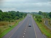
This is what WS2 is all about! the ability to pass (legally) with double white lines and maintain 100km/h. Who needs motorways? (joke!)

Originally uploaded to Coppermine on Apr 23, 2006 by murphaph
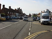
Amersham Broadway - Geograph - 966187.jpg
The Broadway, Amersham. Former A413
A6009.JPG
A6009 SAINT PETERS WAY

MANSFIELD RING ROAD, NOTTINGHAMSHIRE

I THINK THE SIGN IS UPSIDE DOWN EH??
22112010237.JPG
A38 STOCKWELL GATE

Mansfield, Nottinghamshire

The UK's second longest road finally reaches it's destination, terminating at the junction with the A6009 Mansfield Ring Road
N13 at Monees - Geograph - 1030533.jpg
N13 at Monees
This section of the main road is heading north-east towards Burt
A412 - North Orbital Road - Geograph - 2415329.jpg
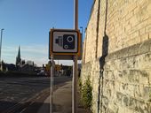
A412 - North Orbital Road
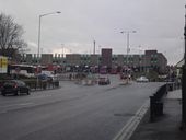
A85-dochart3.jpg
How to widen a road... or maybe not! The junction between an improved, widened section of the A85 in Glen Dochart, and its narrow twisty predecessor. The tarmac of the new section remains full width, but the edge lines taper in to meet the narrower carriageway ahead.
R526 road with broken yellow line - Geograph - 2023365.jpg
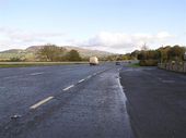
R526 road with broken yellow line
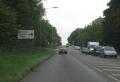
N21 towards Patrickswell, Co. Limerick - Geograph - 1389048.jpg
N21 towards Patrickswell, Co. Limerick
A9-br-allan1.jpg
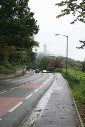
A wide, but not dualled, section of the A9 between Bridge of Allan and Causewayhead. The Wallace Monument looms out of the mist around Abbey Craig in the distance
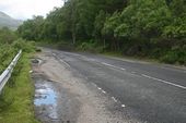
A40 by Bellhouse Hotel car park - Geograph - 2299990.jpg
A40 by Bellhouse Hotel car park
The Newry bypass (3) - Geograph - 2435692.jpg
The Newry bypass (3)
A39 Torridge Bridge.jpg
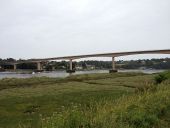
View of the Torridge Bridge from the Tarka Trail, which dominates the riverside views from Bideford and beyond
Dalreoch-br3.jpg
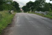
Looking across the exceptionally wide Dalreoch Bridge, formerly the A9, over the River Earn
One-boat1.jpg
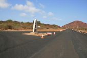
One Boat itself on the Old Mountain Road, Ascension Island. The boat was erected as such to provide shelter from the sun for passers by. Note the extra wide carriageway of the Old Mountain Road at this point.
 
 
Page 1, 48 file(s) of 57 shown
Page 1 2

SABRE - The Society for All British and Irish Road Enthusiasts
Discuss - Digest - Discover - Help