'
Originally uploaded to Coppermine on Oct 26, 2005 by M4Mark
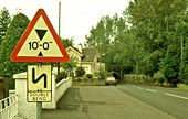
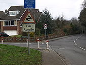
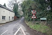
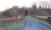
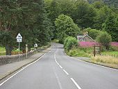
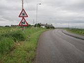
Old and new road signs at Dunadry
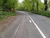
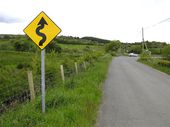
Double corner near Little Forter
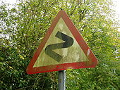
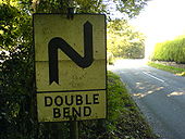
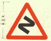
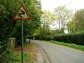
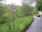
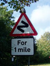
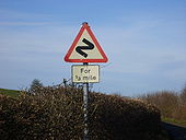
Double Bend sign.
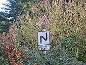
Complete with triangle. Found in Clent
Originally uploaded to Coppermine on Jan 26, 2009 by Danno B10M Cornwall sign
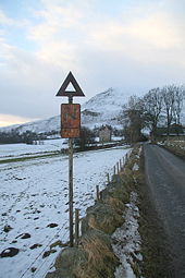
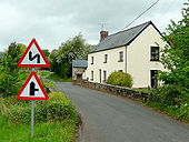
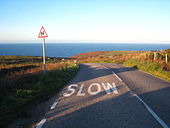
Single track, blind left hand hairpin
OP M60-Tony
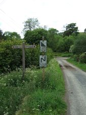
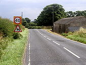
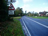
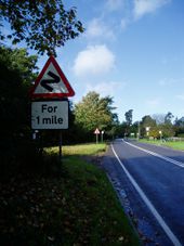
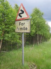
Originally uploaded to Coppermine on Apr 21, 2005 by M4Simon Bends for 1 Mile - Slimbridge
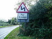
This was found at Slimbridge, Gloucestershire on a modern pole which also holds a T-junction sign.
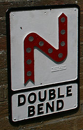
Originally uploaded to Coppermine on May 07, 2007 by TRC666 Restored pre-worboys era double bend sign mounted on wall of Tramworks at Beamish Museum in Durham.
Stamp of maker reads W Smith & Sons, Grove Works, Barnard Castle.
'
Originally uploaded to Coppermine on Oct 27, 2005 by rsorionboy
'
Originally uploaded to Coppermine on Oct 26, 2005 by M4Mark
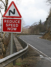
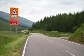
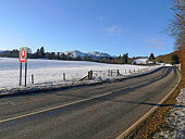
Bends on the A82 alongside Loch Linnhe
Bend on the A85 in Glen Lochy, the old road actually snakes off to the right making the bends worse that they are now.
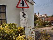
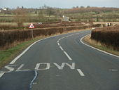
In the Surrey village of Woodmansterne this Z-bends sign – of a type not prescribed since 1981 – appears to be a local speciality: there are at least three others nearby. Coming towards us is the B278 Rectory Lane, which here TOTSOs right into Carshalton Road on our left.
B4347 crossing the Norton Brook
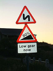
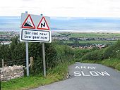
Low gear now
33% gradient sign on an unclassified road at Gwaenysgor, above Prestatyn, North Wales
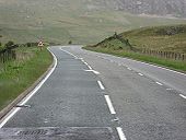
Originally uploaded to Coppermine on Aug 19, 2007 by PeterA5145 Mountain road near Abergwesyn
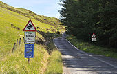
25% incline and a not so old series of bends sign
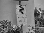
Originally uploaded to Coppermine on Jun 21, 2008 by Truvelo Bends for 1 mile - closeup
Closeup in black & white of the pre-Worboys 'Bends for 1 Mile' sign. This was taken on Sunday 29th April 2007.
Originally uploaded to Coppermine on May 07, 2007 by TRC666 A93 near Braemar
I think this sign is aimed at motorcyclists
Originally uploaded to Coppermine on Apr 08, 2006 by rsorionboy Warning signs at Churchtown in southwest Shropshire. Offa's Dyke crosses the road at this point too.
A85 between Crianlarich and Lochearnhead
A85 between Crianlarich and Lochearnhead.
Originally uploaded to Coppermine on Apr 23, 2005 by Bryn666 Green Lane
Green Lane, Pangbourne, which joins with Courtlands Hill.
Irish double bend sign in Phoenix Park, Dublin.
Old A38 - Uphill
More old S2/1, or was it S3 in those crazy days of old! I've never seen a vehicle going uphill, in 20 years of visits, except for myself, when I turned around at the bottom and came back up, just for the hell of it.
Originally uploaded to Coppermine on Jun 03, 2008 by SteveA30 On the B1362 looking towards Withernsea
Disused railway, Whitecross
Beginning from Braithwaite Village, the road goes over the pass before it gets to Buttermere. Obsolete Z bends sign still used here.
Double or Series of Bends Ahead
Originally uploaded to Coppermine on Oct 25, 2005 by M4Mark
Old A82 South from Luss
One of the few sections of the old road where an overtaking maneouvre would've been possible
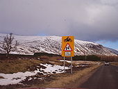
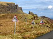
Originally uploaded to Coppermine on Aug 13, 2007 by leopard680 Three very old signs at the top of the Quiraing, Isle Of Skye.
Series of Bends Ahead Pre-1981 TSRGD
Originally uploaded to Coppermine on Oct 25, 2005 by M4Mark
Series of Bends Ahead Pre-1981 TSRGD
Originally uploaded to Coppermine on Oct 25, 2005 by M4Mark
Old series of bends warning on the B970 at Feshiebridge
Old style series of bends warning sign on B9152 at Kincraig
Warnings of aircraft and double bend on the B9135
Series of Bends Ahead Pre-1981 TSRGD
Originally uploaded to Coppermine on Oct 25, 2005 by M4Mark
Series of bends sign
Found on a country lane near Stafford
Originally uploaded to Coppermine on Feb 29, 2008 by rsorionboy Signs on Uig-Staffin road
On the pass on the Quairing road between Uig & Staffin on Skye
Originally uploaded to Coppermine on Nov 02, 2008 by Tom B660 towards Great Gidding
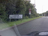
a long place name in Wales
here we are entering Llanfair PG. No way am i going to spell it. Didnt notice if they had a football team. If they had and someone shouted 'give us an L' youd want to kill him lol
Originally uploaded to Coppermine on Jun 29, 2007 by Snowman B4372 near Knowle Farm
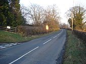
View north-east with the farm entrance to the left. The setting sun reflects off the S bend sign.
Descending Shap northbound
Originally uploaded to Coppermine on Jul 03, 2007 by leopard680
The Birch Tree Inn
Situated by the B6165 midway between Glasshouses and Wilsill, the pub is just a short stagger from either community.
The Combs B6117, Thornhill
The eastern end of The Combs, which becomes Church Lane at the summit.
