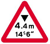
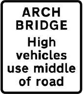
Gallery:Warning Sign/Maximum Headroom
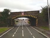
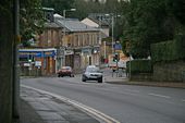
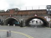
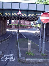
Brecon, taken in 20mph zone ( see nsl signs & red tarmac road paint in lane )
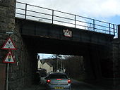
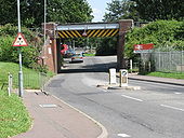
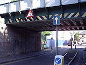
Originally uploaded to Coppermine on Jun 02, 2007 by AAndyNote the pre-Worboys sign on the left of the bridge.
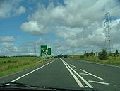
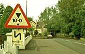
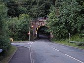
Originally uploaded to Coppermine on Jun 10, 2008 by leopard680This short D2 section over the brow of a hill suddenly narrowing to the railway bridge must've been a death trap back in the day, with low powered vehicles edging past slower vehilces after long queues of frustration further south through the Lancashire towns
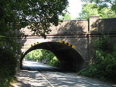
Originally uploaded to Coppermine on Jul 03, 2007 by leopard680Low Railway Bridge on the main line A77
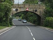
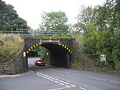
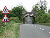
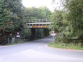
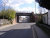
Originally uploaded to Coppermine on Aug 06, 2007 by Kenny1975Again, note the pre-Worboys sign to the left of the bridge.
Originally uploaded to Coppermine on Jun 10, 2008 by leopard680Looking North from Kirkliston. Roadworks have just started when this picture was taken but at the moment it consists of just a few cones. Check out the dodgy chopsticks symbol on the sign - does the central reservation really get wider?
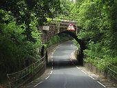
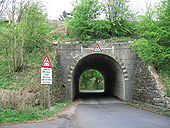
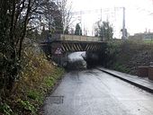
Originally uploaded to Coppermine on May 26, 2006 by TruveloA483 under mid-wales railway .
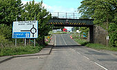
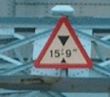
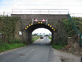
Originally uploaded to Coppermine on May 08, 2007 by AAndyThis bridge warns vehicles over 15'9' against crossing, instead of banning them outright. This may be because there are only a few industrial units between here and a 15'0' railway bridge.
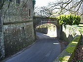
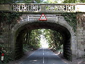
Originally uploaded to Coppermine on Feb 24, 2009 by kieronThis bridge carries the Buerton Approach road to Eaton Hall on the Duke of Westminster's estate. At the bottom of the right hand side abutment, just above soil level, there is a Flush Bracket bench mark - <a href='http://www.geograph.org.uk/photo/1611543'>SJ4260 : Flush Bracket G3152 on Buerton Approach bridge</a>
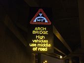
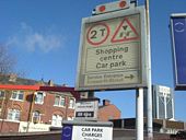
Spotted at the entrance to a multi storey, Cannock.
Originally uploaded to Coppermine on Jan 22, 2007 by rsorionboyThis is the sign from the previous picture.
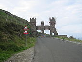
Originally uploaded to Coppermine on Feb 24, 2009 by kieronFacing Douglas
Originally uploaded to Coppermine on Jun 24, 2007 by FreddyTheFrogAn illegal metric-only sign at Digby P+R, Exeter. Note also how the height on the sign is different from the one on the height barrier (also netric only)!
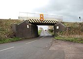
Originally uploaded to Coppermine on Feb 21, 2006 by DavidBrownLow bridge at the junction of the B5358 and A523 near Prestbury with the main Manchester to London railway line running over the bridge
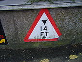
This 14 foot high railway bridge carries the Manchester to Blackburn line.
The bridge is located at the busy junction of the B6472 and the B6391.
Queen Elizabeth Road in Kingston. In this direction it's no entry except to cyclists, who have a height limit of 10'9' imposed on them
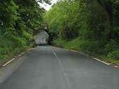
Originally uploaded to Coppermine on May 12, 2005 by t1(M)View uphill where the road takes a left as it climbs through the trees towards Gresford.
An interesting collection of prohibition notices
Originally uploaded to Coppermine on May 12, 2005 by t1(M)Taken on the B1078 towards Needham Market. The sign says it all.
Originally uploaded to Coppermine on Aug 17, 2007 by StormA1022There are plans to convert this section into dual carriageway to complete the Inner Relief Road.
Originally uploaded to Coppermine on Oct 27, 2005 by antster1983The same bridge, from the other side. From this side, it's only 9'6'
Originally uploaded to Coppermine on May 12, 2005 by t1(M)Traffic signs are Crown copyright. They are part of legislation (Traffic Signs Regulations and General Directions 2002, often referred to as TSRGD). The numbers in the image filenames relate to the TSRGD numbering.
You may reproduce traffic signs free of charge and without having to seek permission, but you must reproduce them accurately and not in a misleading context (e.g. not on roadside billboards where they could mislead drivers). You should also include a statement that these images are Crown copyright.
Please also read the fuller conditions for Open Government Licence.Traffic signs are Crown copyright. They are part of legislation (Traffic Signs Regulations and General Directions 2002, often referred to as TSRGD). The numbers in the image filenames relate to the TSRGD numbering.
You may reproduce traffic signs free of charge and without having to seek permission, but you must reproduce them accurately and not in a misleading context (e.g. not on roadside billboards where they could mislead drivers). You should also include a statement that these images are Crown copyright.
Please also read the fuller conditions for Open Government Licence.
