Gallery:Warning Sign/Road Narrows
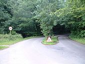
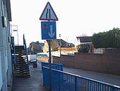
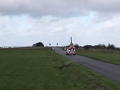
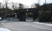
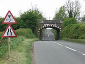
Perhaps the shortest d/c in Britain. Near the viewpoint. The sign was for patching works and, was removed 2 mins later.
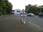
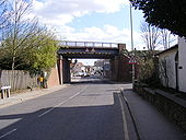
Originally uploaded to Coppermine on Jun 29, 2007 by SteveA30Chapel Street, Inverness, lane closed to prevent access to Academy Street
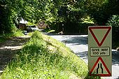
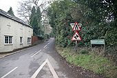
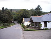
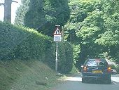
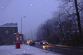
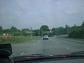
Originally uploaded to Coppermine on Oct 17, 2006 by GlenIt is not clear from the picture that the footpath is much higher than the road, which is quite a steep hill downwards. The road narrows where that car is approaching, with just a single car-width and very narrow pavement between the first buildings of Whitchurch. The Thames path goes off on that track to the right.
Spotted at Burnley General Hospital
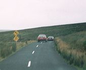
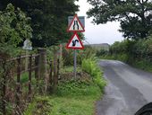
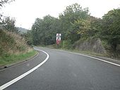
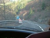
Originally uploaded to Coppermine on Dec 10, 2009 by PendlemacPhoto was taken in the mountains just south of Dublin. Apparantly there's a bend ahead, and the road narrows.
Posted by c2R on 4/22/2004
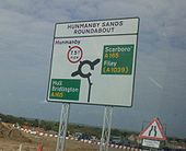
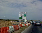
Originally uploaded to Coppermine on Apr 23, 2005 by M4SimonAnother of the new signs at the Hummanby Sands Roundabout.
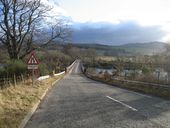
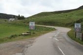
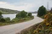
Originally uploaded to Coppermine on Sep 21, 2007 by SnowmanLooking west where the A830 narrows to S1 between Lochailort and Arisaig, and now consigned to history.
Originally uploaded to Coppermine on Mar 06, 2007 by HagbardDitches Lane, Farthing Downs, Coulsdon
Originally uploaded to Coppermine on Oct 31, 2009 by multiraider2A823(M) sliproad leaving M90 J2 S/B
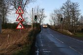
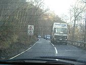
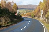
Originally uploaded to Coppermine on Oct 22, 2006 by GlenAn unexpected single lane traffic signal controlled section of the A82.
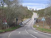
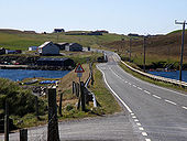
Originally uploaded to Coppermine on Apr 23, 2005 by Bryn666View of the B9074, in the distance it crosses a bridge that links Trondra with Burra.
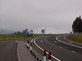
The road narrows before the sharp bend.
Originally uploaded to Coppermine on Aug 25, 2005 by antster1983The northern end roundabout sign. I forgot to mention in the other pic its now called the Hummanby Sands Roundabout
Originally uploaded to Coppermine on Sep 21, 2007 by SnowmanRoadworks on the A84 just west of Callander and Kilmahog.
Originally uploaded to Coppermine on Apr 23, 2005 by Bryn666There are plans to convert this section into dual carriageway to complete the Inner Relief Road.
Originally uploaded to Coppermine on Oct 27, 2005 by antster1983Traffic signs are Crown copyright. They are part of legislation (Traffic Signs Regulations and General Directions 2002, often referred to as TSRGD). The numbers in the image filenames relate to the TSRGD numbering.
You may reproduce traffic signs free of charge and without having to seek permission, but you must reproduce them accurately and not in a misleading context (e.g. not on roadside billboards where they could mislead drivers). You should also include a statement that these images are Crown copyright.
Please also read the fuller conditions for Open Government Licence.Traffic signs are Crown copyright. They are part of legislation (Traffic Signs Regulations and General Directions 2002, often referred to as TSRGD). The numbers in the image filenames relate to the TSRGD numbering.
You may reproduce traffic signs free of charge and without having to seek permission, but you must reproduce them accurately and not in a misleading context (e.g. not on roadside billboards where they could mislead drivers). You should also include a statement that these images are Crown copyright.
Please also read the fuller conditions for Open Government Licence.Some crawler lanes south east of Huntly. The diagram sign shows a rather different way of showing 'Crawler Lane Ends'...
Originally uploaded to Coppermine on May 26, 2005 by Queeg