Gallery:Warning Sign/Side Road

From Roader's Digest: The SABRE Wiki
Jump to navigation Jump to search
Warning Sign > Warning Sign/Side Road


This gallery has no child categories
Warning Sign/Side Road
 
 
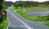
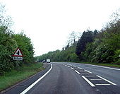
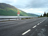
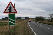
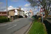
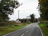
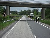
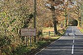
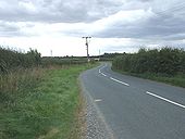
A9 The Mound - side road.jpg
Side road warning sign on the A9 at The Mound in Sutherland.
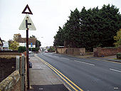
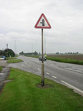
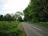
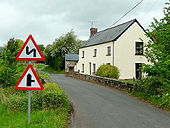
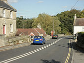
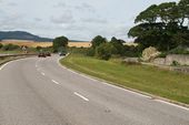
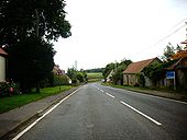
Old-style side road ahead - Coppermine - 9469.jpg
Old-style side road ahead

This sign was spotted on a country lane just off the B9077. A lot of signs in this neck of the woods require updating.

Originally uploaded to Coppermine on Dec 09, 2006 by SuperLez
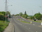
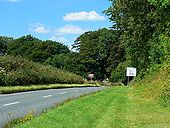
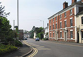
B1416, Ugglebarnby Junction - Geograph - 251833.jpg
B1416, Ugglebarnby Junction
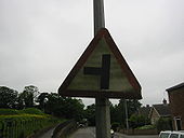
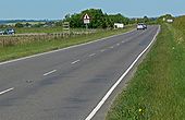
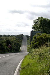
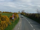
Pre-Worboys Warning Triangle - Coppermine - 22295.jpg
Pre-Worboys Warning Triangle

A rusty pre-worboys warning triangle. The plate has long gone, even its replacement looks very old, and it's of the original non-pointed design.

Location: Vale Road (junction with Old Perry Street), Northfleet, Kent.

Date Taken: 3/11/08

Originally uploaded to Coppermine on May 30, 2009 by MotorwayGuy
Car Hill - Geograph - 799489.jpg
Car Hill
This is the B6089 to Barnsley between Rotherham and Greasbrough
A158 Burgh, Lincs. T Junction - Coppermine - 12620.JPG
A158 Burgh, Lincs. T Junction

Older sign with no priority on Burgh High Street.

Originally uploaded to Coppermine on Jun 10, 2007 by FreddyTheFrog
A358 - Coppermine - 11473.jpg
a358

South near hatch b. 240 yds to jcn.

Originally uploaded to Coppermine on May 02, 2007 by AAndy
A40 dual carriageway near Glewstone - Geograph - 1576474.jpg
A40 dual carriageway near Glewstone
A52 Boston Illuminated Junction Sign - Coppermine - 13215.JPG
A52 Boston Illuminated Junction Sign

Facing east near Fishtoft.

Originally uploaded to Coppermine on Jun 19, 2007 by FreddyTheFrog
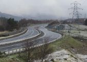
A77 next to M77 - Coppermine - 14002.jpg
A77 next to M77

A more staid photo... this photo shows the old A77 (downgraded from S4 to S2 + cycle path) next to the M77 heading off into the distance :) Pity about the weather.

Originally uploaded to Coppermine on Jul 17, 2007 by scynthius726
A82 Loch Lochy - Coppermine - 18814.jpg
A82 Loch Lochy Originally uploaded to Coppermine on Jun 27, 2008 by Jack Russell
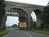
Old A8 (A89) Winchburgh arches - Coppermine - 14182.JPG
Old A8 (A89) Winchburgh arches

The long Winchburgh viaduct carries the main Edinburgh-Glasgow Line over the old A8

Originally uploaded to Coppermine on Jul 26, 2007 by leopard680
Non-Priority T Junction - Coppermine - 12960.JPG
Non-Priority T Junction Originally uploaded to Coppermine on Jun 15, 2007 by FreddyTheFrog
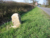
Milestone, Gt Gransden, Cambs - Geograph - 401451.jpg
Milestone, Gt Gransden, Cambs
Backlit speed limit signs - Coppermine - 16300.jpg
Backlit speed limit signs Originally uploaded to Coppermine on Dec 27, 2007 by Truvelo
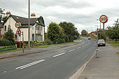
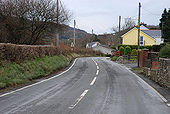
Northern end of Ty Mawr - Geograph - 1067124.jpg
Northern end of Ty Mawr
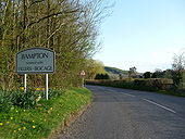
Bampton - Bampton Sign & B3190 - Geograph - 1259233.jpg
Bampton : Bampton Sign & B3190
Various signs for Barton - Geograph - 1722204.jpg
Various signs for Barton
West Stockwith Bridge.jpg
This is the bridge over the River Idle in the centre of West Stockwith. The Trent is just to our right, and a tidal barrier protecting the Idle to our left.
B4347 crossing the Norton Brook - Geograph - 1309425.jpg
B4347 crossing the Norton Brook
Edenfield Road - Geograph - 1705469.jpg
Edenfield Road
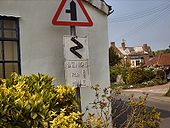
Bends for 1 Mile - Slimbridge - Coppermine - 11569.jpg
Bends for 1 Mile - Slimbridge

This was found at Slimbridge, Gloucestershire on a modern pole which also holds a T-junction sign.

Originally uploaded to Coppermine on May 07, 2007 by TRC666
A77 before the M77 opened - Coppermine - 12710.jpg
A77 before the M77 opened

This was taken in February 2005 as work is progressing on the new motorway.

Originally uploaded to Coppermine on Jun 12, 2007 by Truvelo
Approaching Baumber - Geograph - 1012740.jpg
Approaching Baumber
B3110 at Midford - Geograph - 1526683.jpg
B3110 at Midford
B4058 near Owlpen, Gloucestershire - Geograph - 891334.jpg
B4058 near Owlpen, Gloucestershire
B6047 Dalby Road towards Melton Mowbray - Geograph - 1363349.jpg
B6047 Dalby Road towards Melton Mowbray
On the eastern perimeter of Melton Mowbray Airfield. Ahead on the left is the entrance to a small industrial estate.
B7076 North from Lockerbie - Coppermine - 13677.JPG
B7076 North from Lockerbie

About to pass under the A74M, the route, as part of the National Cycle Network is being well used.

Originally uploaded to Coppermine on Jul 02, 2007 by leopard680
B817-inverg1.jpg
Old and new road to the west of Invergordon. While the road is now the B817, the upgrade probably took place when this was still the A9
Halifax Road, Sandbed - Geograph - 1692179.jpg
Halifax Road, Sandbed
Smockington Hollow B4114-A5 - Geograph - 863074.jpg
Smockington Hollow B4114-A5
Village sign - Geograph - 605106.jpg
Village sign
Newlandrig, Midlothian - Geograph - 971384.jpg
Newlandrig, Midlothian
The B6372 heading east through the little hamlet.
Clivey, approaching Dilton Marsh - Geograph - 698811.jpg
Clivey, approaching Dilton Marsh
Commuter traffic - Geograph - 412866.jpg
Looking north-east towards Prestonpans
B1243 towards Skirlaugh - Geograph - 1463923.jpg
B1243 towards Skirlaugh(2)
Newport from the B5062 - Geograph - 799811.jpg
Newport from the B5062
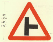
T right.png
1964 Side road (symbol may be reversed)
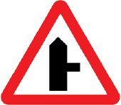
TSRGD 506.1.jpg
TSRGD diagram 506.1 - Side road ahead

Traffic signs are Crown copyright. They are part of legislation (Traffic Signs Regulations and General Directions 2002, often referred to as TSRGD). The numbers in the image filenames relate to the TSRGD numbering.

You may reproduce traffic signs free of charge and without having to seek permission, but you must reproduce them accurately and not in a misleading context (e.g. not on roadside billboards where they could mislead drivers). You should also include a statement that these images are Crown copyright.

Please also read the fuller conditions for Open Government Licence.
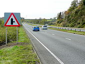
A850 Skeabost - side road.jpg
Old side road warning sign on the A850 at Skeabost in Skye.
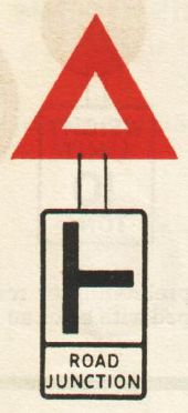
1954 Highway Code - Road junction.jpg
Road junction warning sign in the 1954 Highway Code Excerpt from 1954 Highway Code which is out of copyright according to Crown copyright.
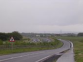
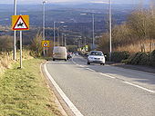
A9 Crubenbeg - Etteridge junction.jpg
The recently constructed D2 part of the A9, looking North from the Crubenbeg junction towards the access to Etteridge. Snow poles can be seen lining both sides and the central reservation of the carriageways.
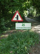
Farnborough Village Name Sign White Background - Coppermine - 11460.jpg
Farnborough Village Name Sign White Background

Green on White Name Sign for Farnbrough and National Trust Oak Leaf on the approach from Avon Dassett on the lower C road 300407

Originally uploaded to Coppermine on May 01, 2007 by leekman
A3 approaching Rhencullen (C) Chris Gunns - Geograph - 1883634.jpg
A3 approaching Rhencullen (C) Chris Gunns
Hollow Way Lane, Chesham Bois (C) Malc McDonald - Geograph - 2442897.jpg
Hollow Way Lane, Chesham Bois (C) Malc McDonald
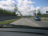
R113 westbound - Coppermine - 11864.JPG
R113 westbound Originally uploaded to Coppermine on May 19, 2007 by murphaph
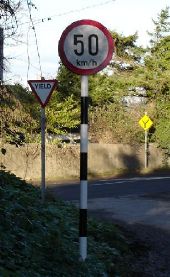
Metric speed limit sign - Coppermine - 363.JPG
Metric speed limit sign

Ireland's new metric speed limit signs were installed in January 2005. From January 22nd, all speed limits were converted to metric. This one shows a typically inappropriate 50 km/h limit in a rural setting that doesn't justify such a low limit.

Originally uploaded to Coppermine on Apr 06, 2005 by csd
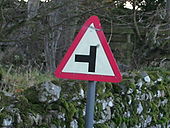
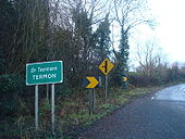
Old N56 at Termon, Co. Donegal - Coppermine - 21295.jpg
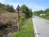
Old N56 at Termon, Co. Donegal

Despite being realigned to the right of this photo, they failed to move the Termon sign to the new road

Originally uploaded to Coppermine on Jan 25, 2009 by cormthechippy
 
 
Page 1, 48 file(s) of 70 shown
Page 1 2

SABRE - The Society for All British and Irish Road Enthusiasts
Discuss - Digest - Discover - Help