Gallery:Warning Sign/Steep Hill
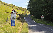
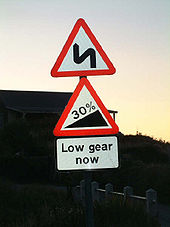
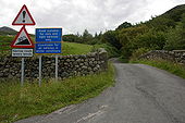
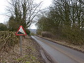
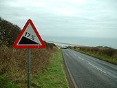
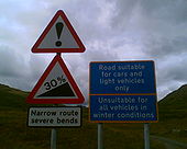
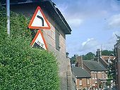
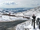
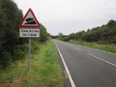
25% incline and a not so old series of bends sign
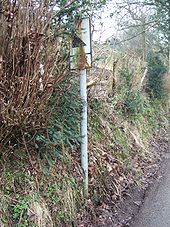
Originally uploaded to Coppermine on Jun 21, 2008 by TruveloSingle track, blind left hand hairpin
OP M60-Tony
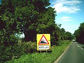
Originally uploaded to Coppermine on Apr 21, 2005 by M4SimonNorthbound descent on the A9 at Dunbeath.
Originally uploaded to Coppermine on Oct 13, 2008 by GlenOP Martyn H
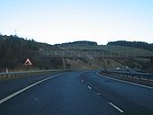
Originally uploaded to Coppermine on Apr 05, 2005 by M4Simon..for the tightest bend on the Motorway network.
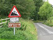
Originally uploaded to Coppermine on Apr 02, 2007 by Glen33% gradient sign on an unclassified road at Gwaenysgor, above Prestatyn, North Wales
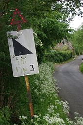
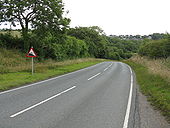
Originally uploaded to Coppermine on Aug 19, 2007 by PeterA5145Derbyshire County Council could not bring themselves to specify the gradient here; really, it isn't that steep. Alderwasley.
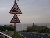
Taken from the top of Saltburn bank. Probably one of the trickiest hills in the county, with the 1 in 4 gradient, and also strong curves.
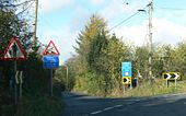
Originally uploaded to Coppermine on May 04, 2008 by Strawberries258Modern signs warn of a very steep hill - but what's that lurking on the left a few yards further on?
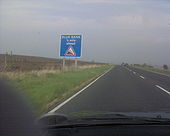
Originally uploaded to Coppermine on Sep 21, 2006 by PeterA5145This is approaching the famous (well it is ont eh A169) Blue Bank hill. Its about 6 miles from Whitby and 800 feet above it. Its a 1-5 hill (20% for metric people) and the views of Whitby are amazing.
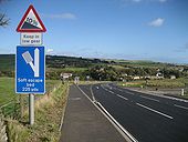
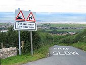
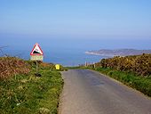
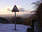
Originally uploaded to Coppermine on Oct 21, 2006 by SnowmanAt the top of a very steep hill overlooking Woolacombe Bay.
Winner - May 2007
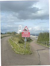
Originally uploaded to Coppermine on Apr 18, 2007 by DavidBrownFrom the higways compound. Shared road. Sign warns to look out for maintenance vans and to go slowly!!
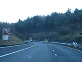
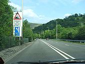
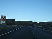
Originally uploaded to Coppermine on Oct 08, 2006 by chglmApproaching the start of the steep Northbound decent at Balmanno Hill on the M90 with waring signs for large vehicles
Originally uploaded to Coppermine on Apr 02, 2007 by GlenTo add to SkinheadNev's example...
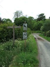
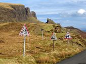
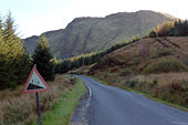
Originally uploaded to Coppermine on Oct 24, 2006 by sotonsteveOn the pass on the Quairing road between Uig & Staffin on Skye
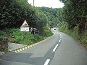
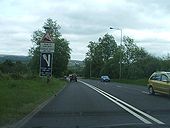
Originally uploaded to Coppermine on Nov 02, 2008 by TomA left turn and a steep dip ahead.
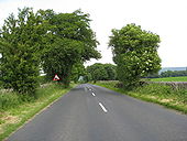
Originally uploaded to Coppermine on Aug 25, 2005 by antster1983On an unclassified road somewhere near Leyburn! Boxing Day 2004.
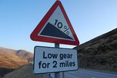
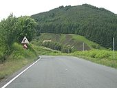
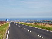
Originally uploaded to Coppermine on Jan 17, 2006 by ChrisHThe B9176 on its steep decent towards the Dornoch Firth.
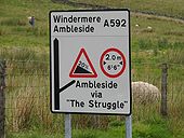
Originally uploaded to Coppermine on Jul 02, 2007 by GlenTop of The Struggle which winds down to Ambleside from near the summit of the Kirkstone Pass. It wasn't that bad.
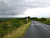
Originally uploaded to Coppermine on Mar 23, 2008 by SchultThe A169 looking north at the top of Blue Bank. Whitby in distance. Aug 2005.
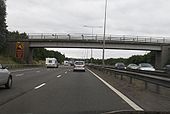
Originally uploaded to Coppermine on Aug 21, 2005 by LonewolfDecending Balmanno Hill on the M90. More warnings for drivers of large goods vehicles.
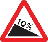
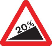
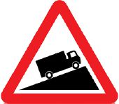
Originally uploaded to Coppermine on Apr 02, 2007 by GlenTraffic signs are Crown copyright. They are part of legislation (Traffic Signs Regulations and General Directions 2002, often referred to as TSRGD). The numbers in the image filenames relate to the TSRGD numbering.
You may reproduce traffic signs free of charge and without having to seek permission, but you must reproduce them accurately and not in a misleading context (e.g. not on roadside billboards where they could mislead drivers). You should also include a statement that these images are Crown copyright.
Please also read the fuller conditions for Open Government Licence.Traffic signs are Crown copyright. They are part of legislation (Traffic Signs Regulations and General Directions 2002, often referred to as TSRGD). The numbers in the image filenames relate to the TSRGD numbering.
You may reproduce traffic signs free of charge and without having to seek permission, but you must reproduce them accurately and not in a misleading context (e.g. not on roadside billboards where they could mislead drivers). You should also include a statement that these images are Crown copyright.
Please also read the fuller conditions for Open Government Licence.