Gallery:West Bromwich
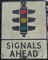
Old pre-Worboys sign I rescued from Walsall Road, West Bromwich, many years ago - when the old canal aqueduct bridge was by-passed and the signals decommissioned.
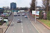
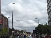
Originally uploaded to Coppermine on Jul 14, 2009 by MikeyaThats quite some Stanton double bracket - not sure as to the lanterns. The old tram posts stood for years - I suspect they may carry Crompton Lions?
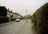
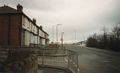
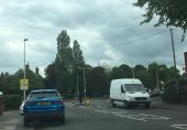
Originally uploaded to Coppermine on Jul 14, 2009 by MikeyaThis was one of a handful of streets in West Bromwich still to retain it's mercury lighting. The columns were sleeved within a year of this picture being taken and fitted with Beta 5's.
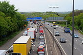
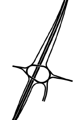
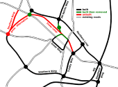
Originally uploaded to Coppermine on Feb 02, 2008 by TruveloThe Lunt is an interesting design. I had assumed the existing junction would have been GSJ'd by utilising the flaring for a flyover. I had never envisaged anything more elaborate was planned, especially something fully freeflowing. The freeflowing nature is somewhat spoilt by the roundabout immediately to the west but everything west of there is at-grade anyway and was planned that way as soon as the earlier motorway scheme was cancelled.
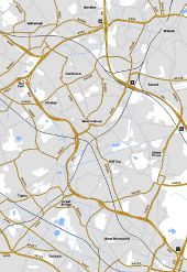
Another interesting junction is the northern of the two roundabouts at Wednesbury. There is an underpass beneath the roundabout for traffic from the A461 to the local road serving the local businesses. This makes it a three level junction.
Although not part of the Spine Road, the junctions on the A454 immediately west of M6 J10 are shown differently on late 1980's plans to what was eventually built. Two westbound offslips in quick succession are shown with no eastbound equivalents - the B4464 catering for eastbound movements. The offslip nearest the M6 was built but the second one was replaced with a full access roundabout GSJ which is arguably much better as it takes traffic off the B4464 and other local roads.
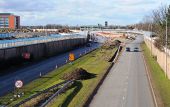
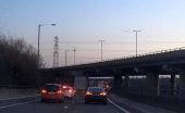
Finally, I have altered the road numbering from what currently exists. A41 now continues northwards to The Lunt. A41 west of Moxley becomes a continuation of the A4038. A41 between Wednesbury and Moxley now downgraded in its entirety. Until I know otherwise, this is purely speculation on my part but makes perfect sense had the original route been built.Black Country Spine Road under construction in the mid 90's. I took this picture mainly because this was one of the last remaining streets in Sandwell to have mercury lighting at the time. As can be seen, this lighting is being replaced. The location is looking south towards the Staples store which is just beyond the roundabout in the distance. This marks the end of the original 70's expressway and the start of the 90's spine road.
Originally uploaded to Coppermine on Feb 27, 2007 by Truvelo