Gallery:Wisbech

From Roader's Digest: The SABRE Wiki
Jump to navigation Jump to search


This gallery has no child categories
Wisbech
 
 
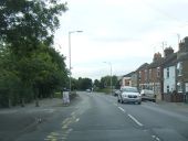
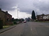
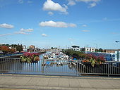
On Freedom Bridge, Wisbech - Geograph - 1504313.jpg
On Freedom Bridge, Wisbech
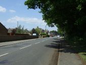
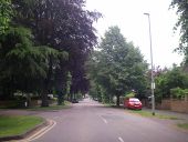
Chapel Road, Wisbech (C) Barbara Carr - Geograph - 3610083.jpg
Chapel Road, Wisbech (C) Barbara Carr
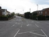
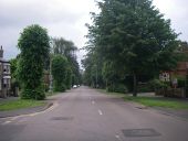
A1101 Leverington Road (C) Colin Pyle - Geograph - 3641678.jpg
A1101 Leverington Road (C) Colin Pyle
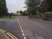
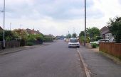
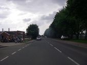
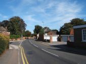
Harecroft Road - Geograph - 3982914.jpg
Harecroft Road Heading north on National Cycle Route 1.
Walsoken - Kirkgate Street (C) Peter Whatley - Geograph - 1818162.jpg
Walsoken - Kirkgate Street (C) Peter Whatley
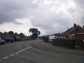
Ramnoth Road, Wisbech - Geograph - 4103092.jpg
Ramnoth Road, Wisbech Heading north.
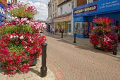
High Street, Wisbech - Geograph - 4103410.jpg
High Street, Wisbech The floral displays in Wisbech were spectacular. Motor-World was Mega Value Superstores. Next door was Dr China, which is now Pizza Crazy. I believe this road is closed to traffic on Thursdays and Saturdays.
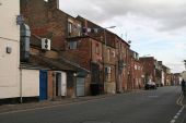
West Street, Wisbech - Geograph - 4601727.jpg
West Street, Wisbech
Redmoor Lane level crossing - Geograph - 1818243.jpg
Redmoor Lane level crossing Out of service since loss of goods traffic to Messrs. Spillers Wisbech premises.
20180602-1522 - C27 Black Bear Lane, Walsoken - 52.6750669N 0.1793636E - cropped.jpg
C27 Black Bear Lane, Walsoken
20180602-1527 - C24 Junction of Boyces Lane and Bush Road, Walsoken 52.6635713N 0.1765629E.jpg
Junction of Boyces Lane and Bush Road, Walsoken
20180602-1530 - C26 Lerowe Road, Walsoken 52.6722002N 0.1775268E.jpg
C26 Lerowe Road, Walsoken
20180602-1532 - C310 Clarkson Avenue, Wisbech 52.6673609N 0.1713258E.jpg
C310 Clarkson Avenue, Wisbech
20180602-1532 - C310 Clarkson Avenue, Wisbech 52.6692167,0.1680599.jpg
C310 Clarkson Avenue, Wisbech
20180602-1536 - Gildos Motorcycle Centre, Weasenham Lane, (C309) Wisbech 52.6534723N 0.1622874E.jpg
Gildos Motorcycle Centre, Weasenham Lane
20180602-1537 - Gantry on the Road at Weasenham Lane, Wisbech 52.6558074N 0.1537162E - cropped.jpg
Gantry over the Road at Weasenham Lane, Wisbech
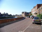
North Brink, Wisbech and the River Nene - Geograph - 2673269.jpg
North Brink, Wisbech and the River Nene
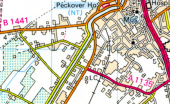
A1135.png
A1135 in Wisbech in 1986, following the opening of the A47 bypass

This page includes a scan of a non-free copyrighted map, and the copyright for it is most likely held by the company or person that produced the map. It is believed that the use of a limited number of web-resolution scans qualifies as fair use under United States copyright law, where this web page is hosted, as such display does not significantly impede the right of the copyright holder to sell the copyrighted material, is not being used to generate profit in this context, and presents information that cannot be exhibited otherwise.
If the copyright holder considers this is an infringement of their rights, please contact the Site Management Team to discuss further steps.
 

SABRE - The Society for All British and Irish Road Enthusiasts
Discuss - Digest - Discover - Help