Gallery:York
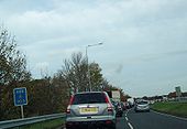
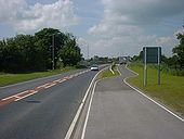
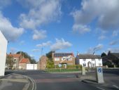
This is looking east from the stockton lane bridge towards the roundabout which is now fitted with traffic lights, but still the traffic queues over the roundabout trying to squeeze into the S2 east of here, the lights are on green but nothing can move!
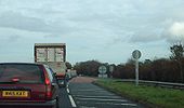
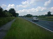
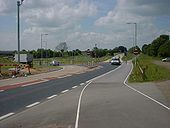
Originally uploaded to Coppermine on Oct 30, 2009 by NICK 647063Just after the roundabout is this short bit of D2, as you can see traffic is forced into one lane after this as you can see by the congestion there is way too much traffic for an S2 road, this is the first S2 section on the A64 east of the A1(M) and only dualling will remove these queues!
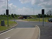
Originally uploaded to Coppermine on Oct 30, 2009 by NICK 647063This is east of the new hopgrove roundabout outside York, at a cost of �9 million congestion busting traffic lights were added, but yet still in october outside the peak season traffic still queues to get into one lane east of the roundabout, here is the point where it goes from D2 to S2 and crawls towards malton
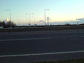
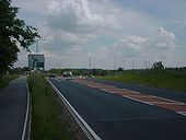
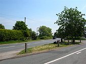
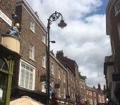
Originally uploaded to Coppermine on Oct 30, 2009 by NICK 647063a weather station is placed here for some reason! The lights here are geared Phillips MA90's. The 3 smoke plumes behind come from 'megawatt valley' (Left to right: Drax, Eggbrough, Ferrybridge)
Originally uploaded to Coppermine on Feb 07, 2007 by True YorkieWe're now looking east from the bridge which carries the A1237 over the A64.
Posted by Neilmeister on 09/06/2003
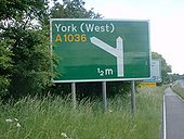
Originally uploaded to Coppermine on Apr 27, 2005 by M4SimonThis sign is interesting because you can just see on the right where the 'no right turn' sign has been covered over with green transfers, to coincide with the closing of the gap at Top Lane junction.
Posted by Neilmeister on 09/06/2003
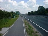
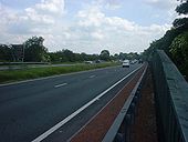
Originally uploaded to Coppermine on Apr 27, 2005 by M4SimonWe're looking east again, as the road rises up to pass over the Copmanthorpe link road and the railway.
Posted by Neilmeister on 09/06/2003
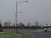
Originally uploaded to Coppermine on Apr 27, 2005 by M4SimonThis pair of phillips MA90's seems to be liked by this small flock of Black Headed Gulls. These lights lie just behind the ASDA store at Monks Cross. The snow fell today at just gone midday, by time it was 1pm the snow was rain and the snow on the ground was turning into black ice - damn rain!
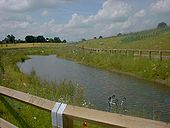
Originally uploaded to Coppermine on Feb 09, 2007 by True YorkieAs the road into Copmanthorpe loops around, it passes this man made pond, which was installed during the works. It's already been christened with a shopping trolley, but other than that it's in good condition. The A64 is at the top of the hill on the right.
Posted by Neilmeister on 09/06/2003
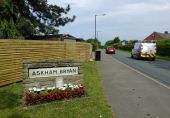
Originally uploaded to Coppermine on Apr 27, 2005 by M4SimonThe road into the village, complete with welcome signs.
Posted by Neilmeister on 09/06/2003
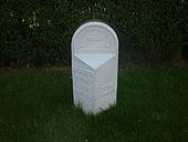
Originally uploaded to Coppermine on Apr 27, 2005 by M4SimonA marker for the 'Tadcaster and Hobmoor Road' (Hobmoor is a nearby area of moorland that is protected by York's green belt). This is now on the village side of the fence.
Posted by Neilmeister on 09/06/2003
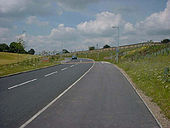
Originally uploaded to Coppermine on Apr 27, 2005 by M4SimonAnd back to the road itself, looking east. The fencing has been painted, as you can see. This stretch of road was moved 10m from the original alignment to allow the access roads to be built.
Posted by Neilmeister on 09/06/2003
Originally uploaded to Coppermine on Apr 27, 2005 by M4SimonLooking towards the interchange with the A1237. This was added in the mid-80s, so it is newer than the other junctions on the bypass.
Posted by Neilmeister on 09/06/2003
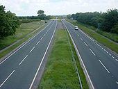
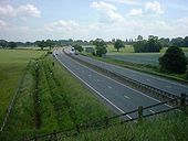
Originally uploaded to Coppermine on Apr 27, 2005 by M4SimonTaken from the Sim Balk Lane bridge. The photo looks east, and shows the road going past the end of York Racecourse, towards the junction with the A19.
Posted by Neilmeister on 6/9/2003
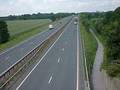
Originally uploaded to Coppermine on Apr 26, 2005 by M4SimonAgain taken from Sim Balk Lane bridge, this time looking west towards the A1036 junction. You can also see the York to Selby cycle path passing under the bridge alongside the road - believe me, it's very noisy down there!
Posted by Neilmeister on 6/9/2003
Originally uploaded to Coppermine on Apr 26, 2005 by M4SimonWe're now on the slip road that also serves as the new Copmanthorpe access road. You can see the new junction in the distance.
Posted by Neilmeister on 6/9/2003
Originally uploaded to Coppermine on Apr 26, 2005 by M4SimonWhen the East Coast Main Line was being electrified in the late 1980s, the bridge that was here was too low to give sufficient clearance for the trains and the live electric cables, so the bridge had to be replaced. It will have been no more than 15 years ago since I actually remember being driven over the temp. bridge as a child. The thing was, this new bridge was only designed to take 1 carraigeway and a generous footpath/cycle way, so when this became two lanes, an additional footbridge over the railway
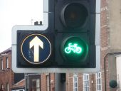
Originally uploaded to Coppermine on Apr 26, 2005 by M4SimonThis is the junction where the road into Copmanthorpe veers off the A1036 slip road. The junction is controlled by traffic lights but they weren't actually working at the time. There's even a pelican crossing here, so that the residents of Copmanthorpe can walk to the nearby Tesco without getting run over.
Posted by Neilmeister
Originally uploaded to Coppermine on Apr 26, 2005 by M4SimonAnd here's what all the fuss was about - a new underpass to carry Copmanthorpe traffic under the A64. The contours make an underpass the most sensible solution here, as you'll see, but a flyover would have been so much less hassle for people having to use the roads during the works.
Posted by Neilmeister on 6/9/2003
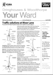
Originally uploaded to Coppermine on Apr 26, 2005 by M4SimonNewsletter item showing planned upgrades to the Askham Lane and Moor Lane junctions on the A1237, by replacing them with a roundabout
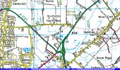
Originally uploaded to Coppermine on Apr 08, 2006 by nrturnerOriginally uploaded to Coppermine on Sep 20, 2005 by Lonewolf
This page includes a scan of a non-free copyrighted map, and the copyright for it is most likely held by the company or person that produced the map. It is believed that the use of a limited number of web-resolution scans qualifies as fair use under United States copyright law, where this web page is hosted, as such display does not significantly impede the right of the copyright holder to sell the copyrighted material, is not being used to generate profit in this context, and presents information that cannot be exhibited otherwise.
If the copyright holder considers this is an infringement of their rights, please contact the Site Management Team to discuss further steps.
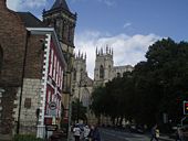
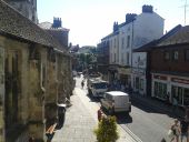
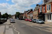
A hot day in the city centre of York from the window of McClarens barbers.
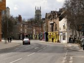
Looking along Clarence Street (B1363) to its junction with Lord Mayor's Walk/Gillygate (A1036)
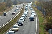
Looking west on the A64 bypass, these queues are common place throughout the summer but in recent years are almost year round, queue is for the S2 section east of York this queue went back to the A19 about 6 miles
Originally uploaded to Coppermine on Oct 30, 2009 by NICK 647063Heading towards the roundabout from the east showing the traffic heading east towards Malton/Scarborough too much for the S2 east of here to cope with!
Originally uploaded to Coppermine on Oct 30, 2009 by NICK 647063